Skip to content

My World and Me

Original price £12.00 - Original price £12.00
Original price
£12.00
£12.00 - £12.00
Current price £12.00
SKU G12CS40150
Continents and CountriesKey Stage 1Geography Skills and FieldworkHuman GeographyLocational and Place KnowledgePhysical GeographyGeographyYear 1Year 2
Checkout securely using your preferred payment method
    American Express Apple Pay Diners Club Discover Google Pay Maestro Mastercard PayPal Union Pay Visa

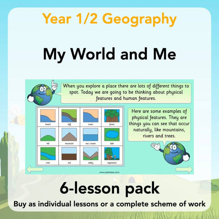
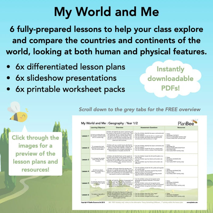
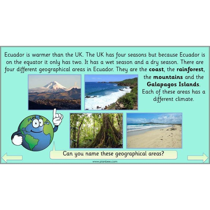
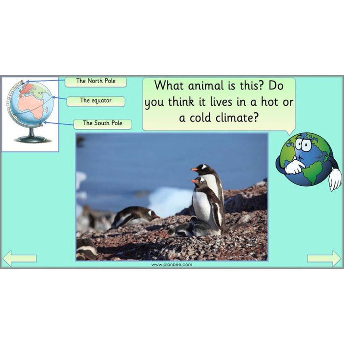
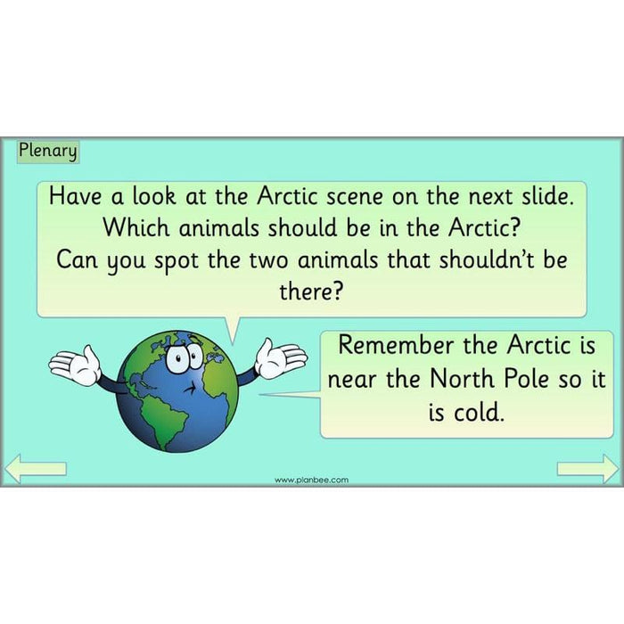
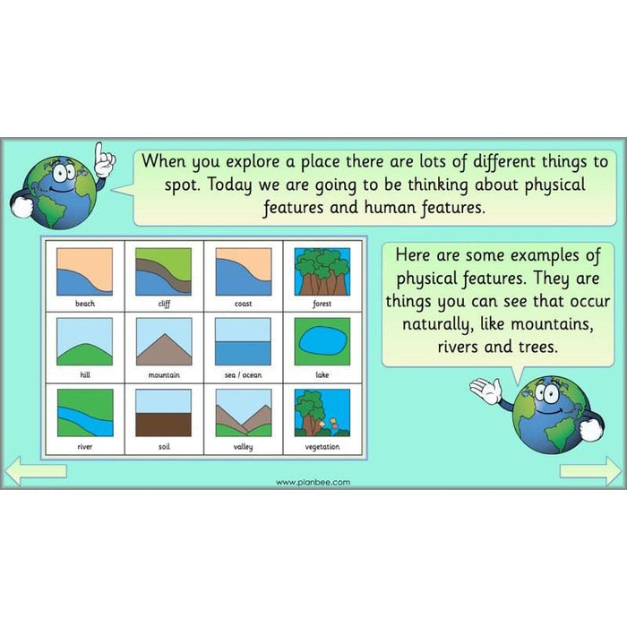
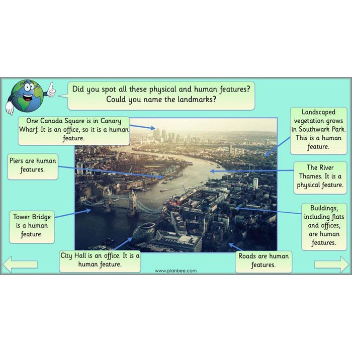
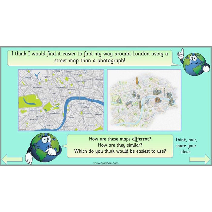
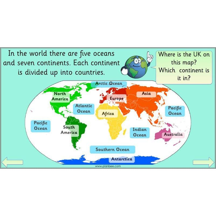
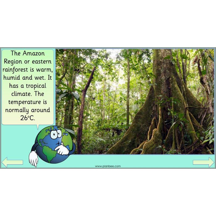
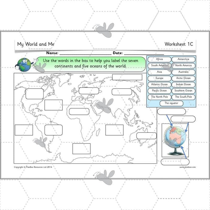
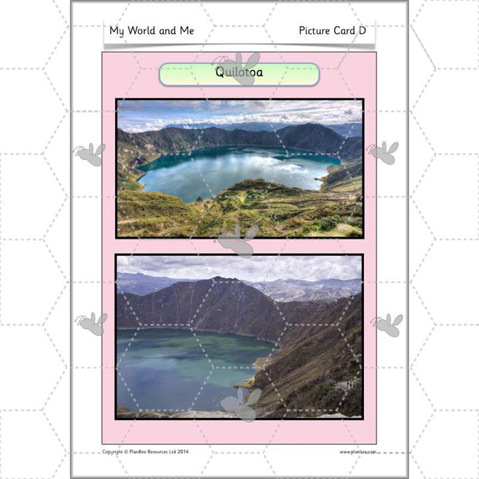
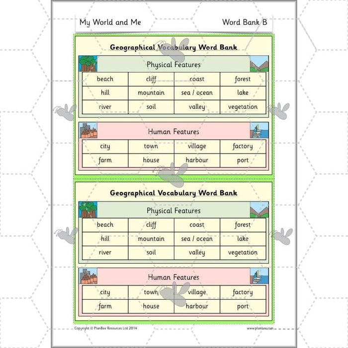
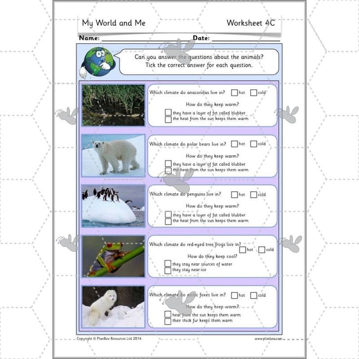
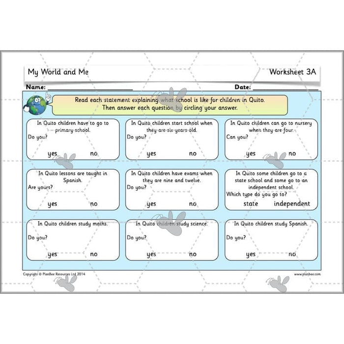
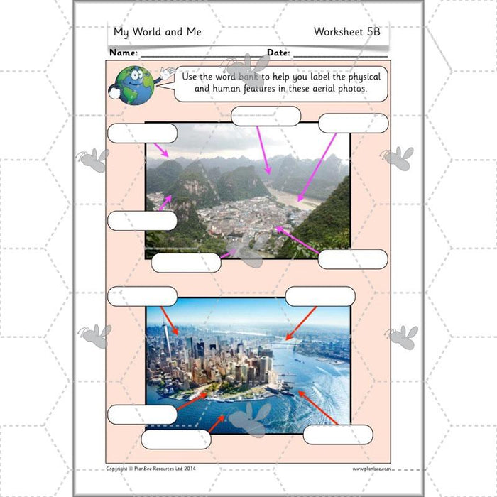
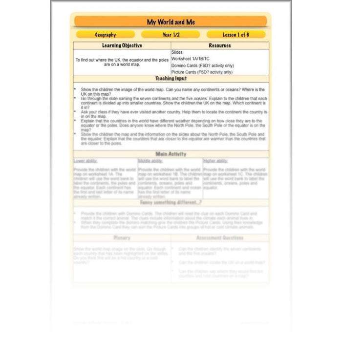
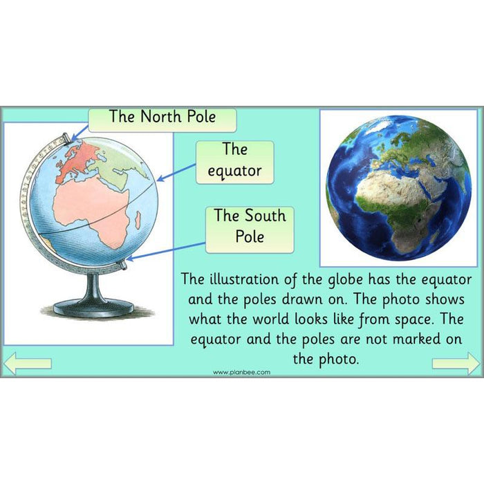
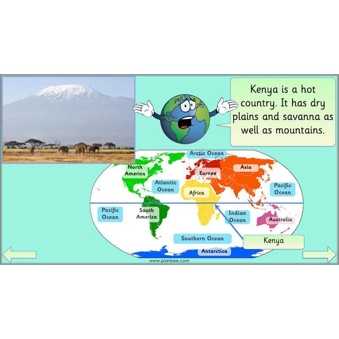
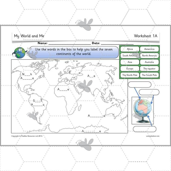
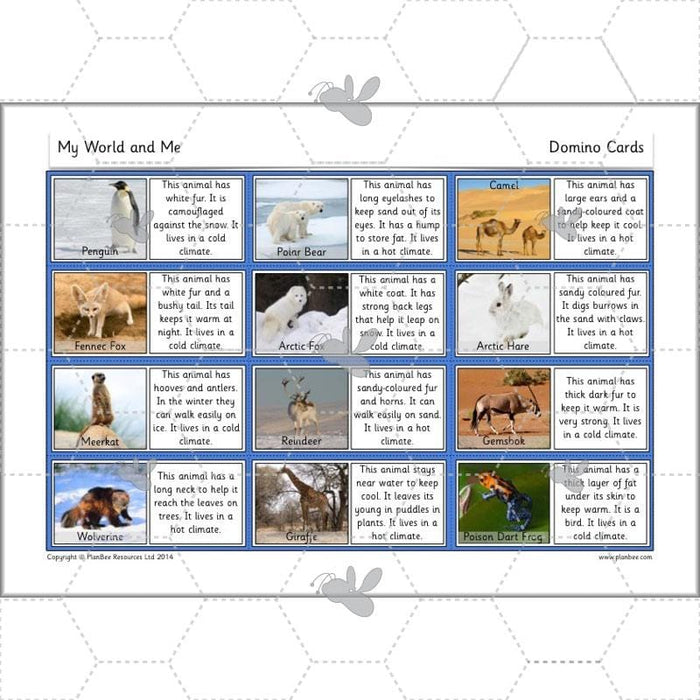
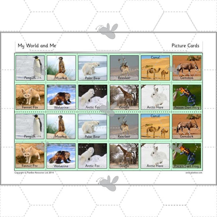
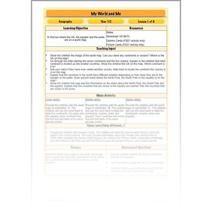
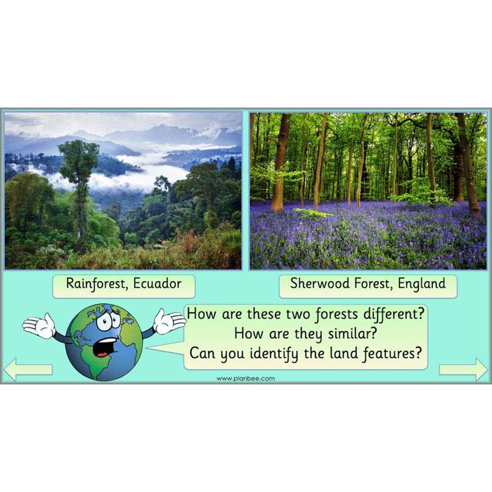
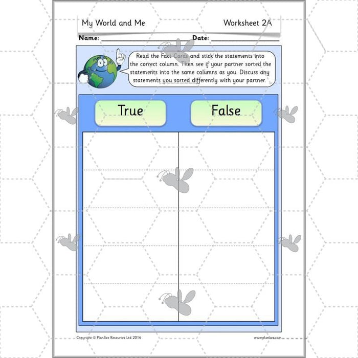
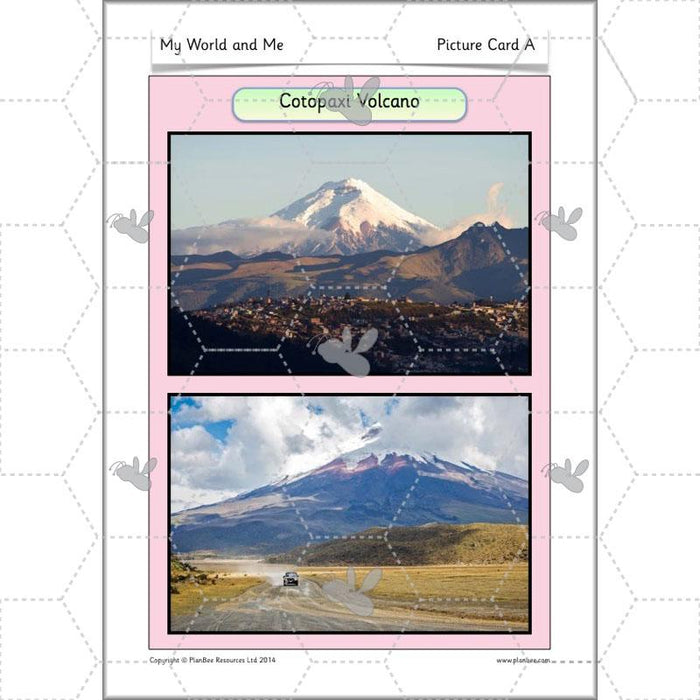
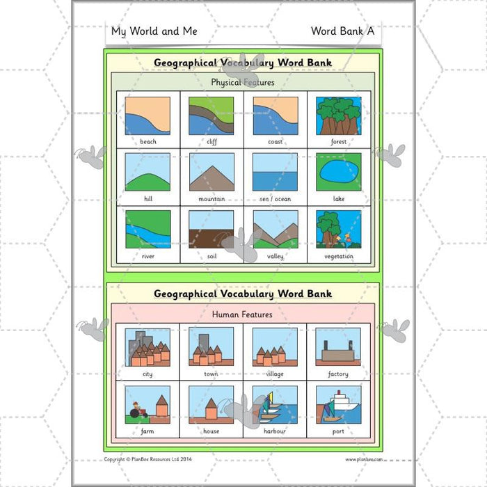
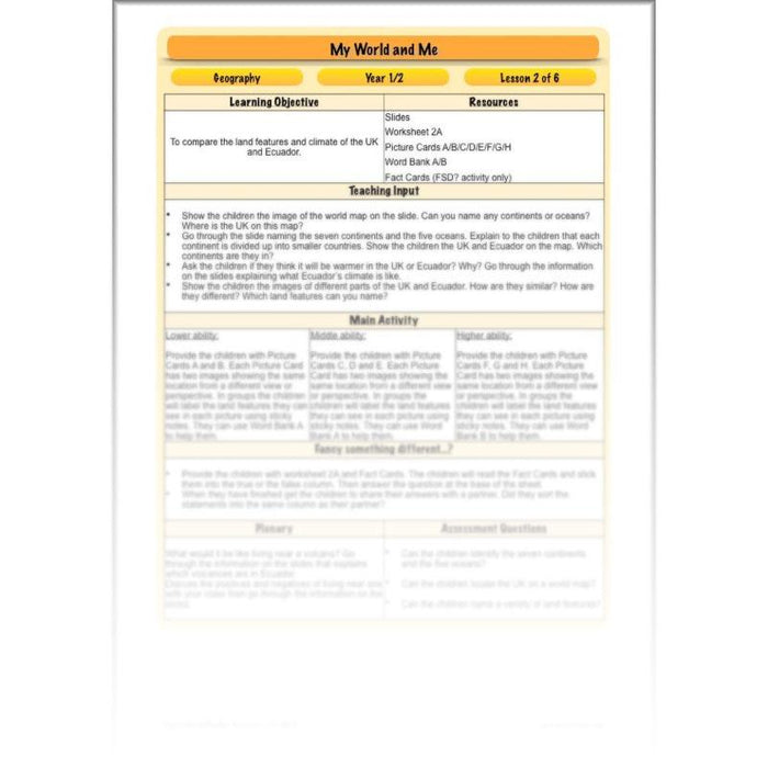
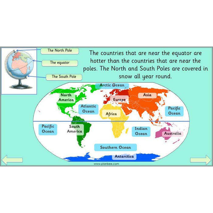
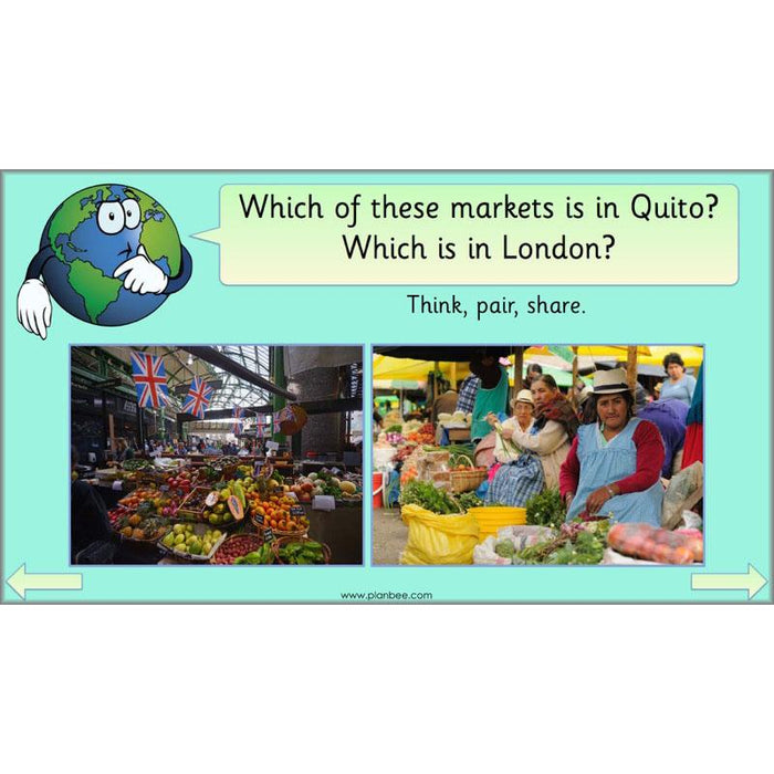
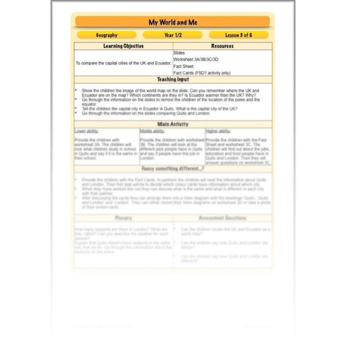
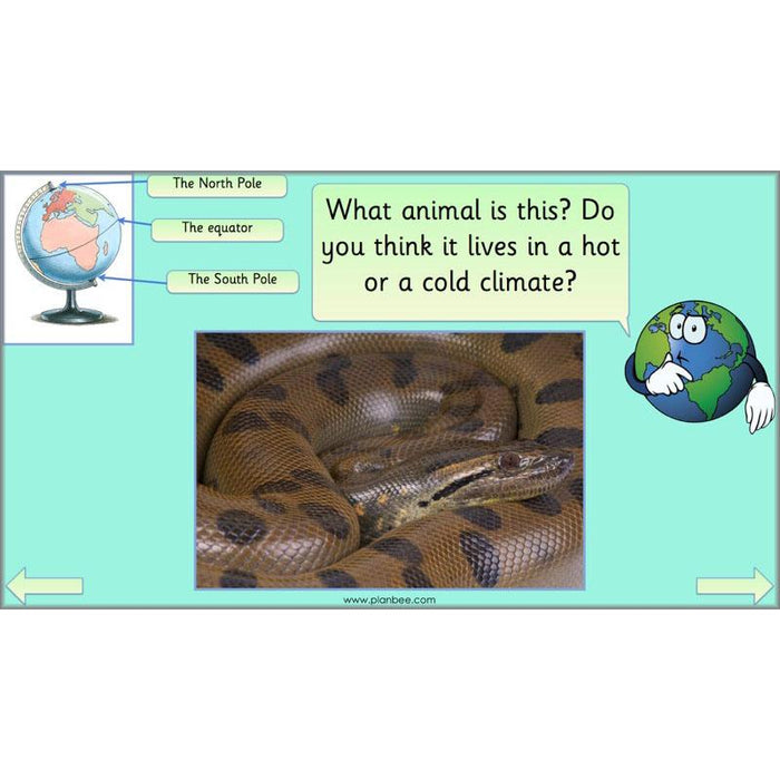
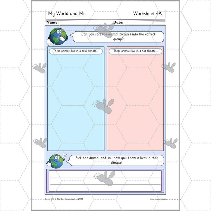
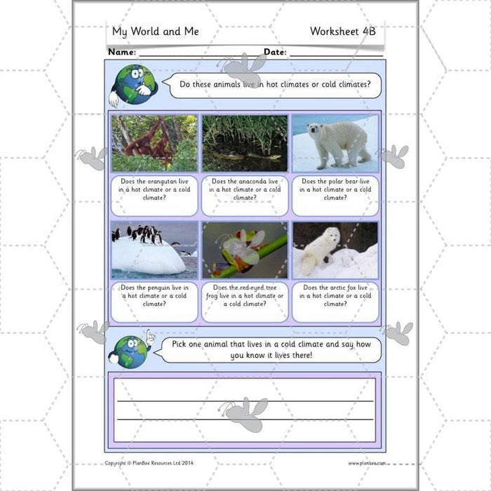
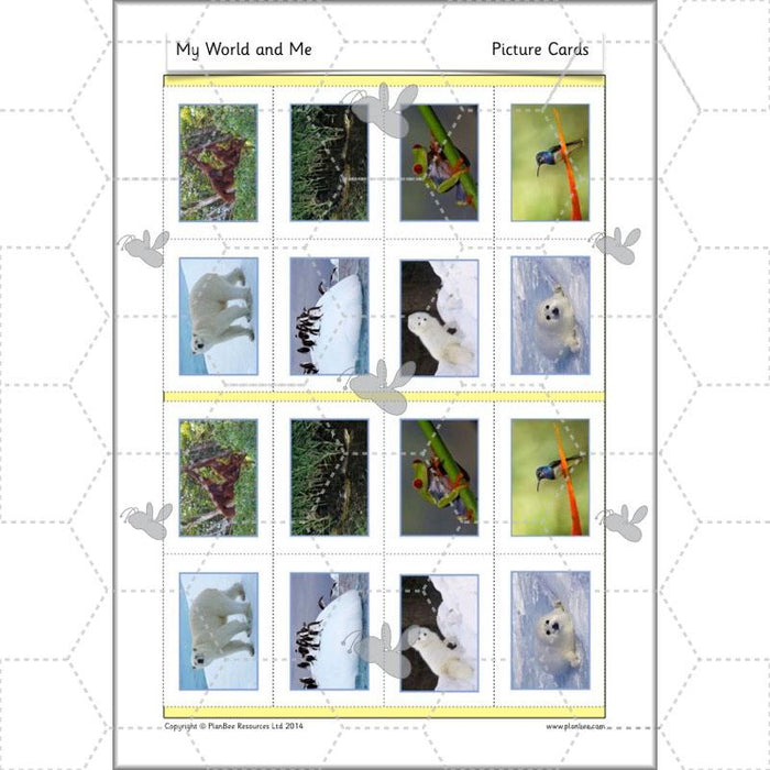
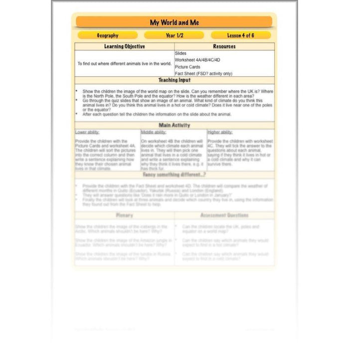
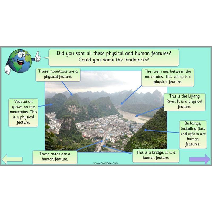
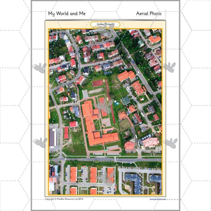
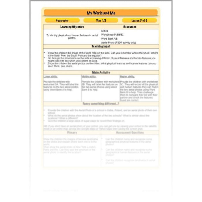
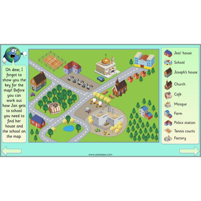
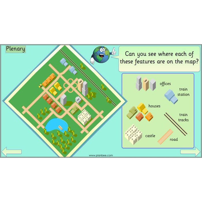
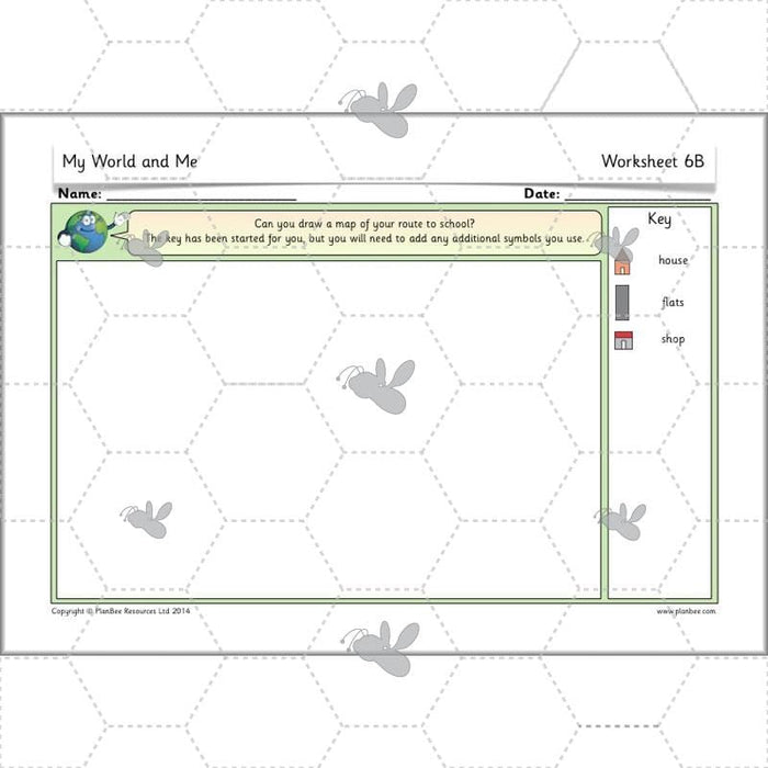
Help your class understand where the seven continents of the world are and how their proximity to the equator or the poles affects their climate with this Geography scheme of work for Year 1 and Year 2. Your class will visit different countries and explore their climate and land features. They will undertake a variety of fun activities to help them learn more about each one.

 
#TheCompleteSeries6lessons

With lesson plans, slides, activity ideas, differentiated activities, picture cards, information sheets and much more, these 'My World and Me' lessons are the perfect way to introduce your class to hot and cold areas of the world and teach them how to navigate around a world map. You'll have a collection of knowledgeable explorers in no time!

#Lesson1WheredoIlive

The first lesson in this six lesson geography scheme of work focuses on locating the UK, the equator and the poles on a world map and a globe. Your class will begin to think about the temperature of different places in the world, deciding where they would expect to find hot or cold countries. During the activity section of the lesson your class will name and locate the continents, oceans, poles and equator on a world map. Alternatively, they will read clues about animals including the climate they live in and match the clues to the pictures.


What's included:

  • Lesson plan
  • Slides
  • Activity ideas
  • Differentiated worksheets
  • Domino cards
  • Picture cards
#Lesson2HowisEcuadordifferenttotheUK

In this lesson, your class will compare the land features and climate of Ecuador to the UK. They will begin by locating the two countries on a world map and naming the continents they are in. After they have been introduced to a variety of land features found in the two counties, they will be encouraged to use the KS1 geographical vocabulary to identify these features in photos of the area. The lesson ends with the children thinking about what it would be like living near a volcano.


What's included:

  • Lesson plan
  • Slides
  • Activity ideas
  • Differentiated worksheets
  • Picture cards
  • Word bank
  • Fact cards
#Lesson3QuitotheCapital

Your class will look in detail at the similarities and differences between the capital city of Ecuador and the capital city of the UK. They will explore the land and climate of the two cities and consider what life is like for people living in the cities. They will use fact sheets to find out about and compare the schools, jobs and food in Quito and London. For the plenary of this lesson, your class will think about the seasons experienced in London and in Quito.


What's included:

  • Lesson plan
  • Slides
  • Activity ideas
  • Differentiated worksheets
  • Fact sheet
  • Fact cards
#Lesson4WeatherandAnimals

During this lesson, your class will find out which animals live in hot climates and which live in cold climates. They will then think about their habitats in terms of their proximity to the equator or the poles. Your class will be encouraged to think about why different animals can survive in the climate they live in. The lesson concludes with a selection of ‘spot the animal in the wrong climate’ picture activities.


What's included:

  • Lesson plan
  • Slides
  • Activity ideas
  • Differentiated worksheets
  • Picture cards
  • Fact sheets
#Lesson5ExploringAerialPhotos

This lesson focuses on the National Curriculum objectives of using aerial photos and recognising landmarks. Your class will look at aerial photos of London, Dubrovnik, Yangshou, New York and Rio. They will try to spot physical features like rivers and human features like bridges in the photos. The main activity challenges the children to spot and name the features independently. Alternatively, your class can compare an aerial picture of their school to a school in Poland.


What's included:

  • Lesson plan
  • Slides
  • Activity ideas
  • Differentiated worksheets
  • Word bank
  • Aerial photo
#Lesson6MappingRoutes

Your class will develop their map skills in the final lesson of this scheme of work. They will explore different types of maps and the need for a clear key, before navigating an example map on the slides. During the activity section of the lesson, your class can either create maps of their own journeys to school or they can make maps from route cards.


What's included:

  • Lesson plan
  • Slides
  • Activity ideas
  • Differentiated worksheets
  • Route sheets
Free Overview (Medium-Term Plan)

Download a free overview to support your teaching of this scheme of work.

Free Assessment Grid

Download a free, editable assessment grid to support your teaching of this scheme of work.

Curriculum Objectives covered
  • KS1 - name and locate the world's seven continents and five oceans.
  • KS1 - name, locate and identify characteristics of the four countries and capital cities of the United Kingdom and its surrounding seas.
  • KS1 - understand geographical similarities and differences through studying the human and physical geography of a small area of the United Kingdom, and of a small area in a contrasting non-European country.
  • KS1 - identify seasonal and daily weather patterns in the United Kingdom and the location of hot and cold areas of the world in relation to the Equator and the North and South Poles.
  • KS1 - use basic geographical vocabulary to refer to key physical features, including: beach, cliff, coast, forest, hill, mountain, sea, ocean, river, soil, valley, vegetation, season and weather.
  • KS1 - use basic geographical vocabulary to refer to key human features, including: city, town, village, factory, farm, house, office, port, harbour and shop
  • KS1 - use world maps, atlases and globes to identify the United Kingdom and its countries, as well as the countries, continents and oceans studied at this key stage
  • KS1 - use aerial photographs and plan perspectives to recognise landmarks and basic human and physical features; devise a simple map; and use and construct basic symbols in a key
  • KS1 - use simple fieldwork and observational skills to study the geography of their school and its grounds and the key human and physical features of its surrounding environment

Customer Reviews

Based on 3 reviews
100%
(3)
0%
(0)
0%
(0)
0%
(0)
0%
(0)
E
Eva Brooks
My World and Me

Planning looks quite detailed, engaging and differentiated to support everyone’s learning :)

Thank you, Eva! We hope that you and your class enjoy using the resources :-)

J
Julie Mayers

It might be useful to add an environmental lesson such as the impact on the animals??

J
Joann Blades

The children loved the powerpoints and the use of Buddy bee