Perfect for teaching alongside our Ancient Egypt History scheme of work, these River Nile KS2 Geography lessons contain all the planning, presentations, activity ideas, and printable resources you need to fully engage your class in learning about the longest river in the world.
This scheme of work is also part of a Topic Bundle. Perfect if you are teaching 'Egypt' as a cross-curricular topic.
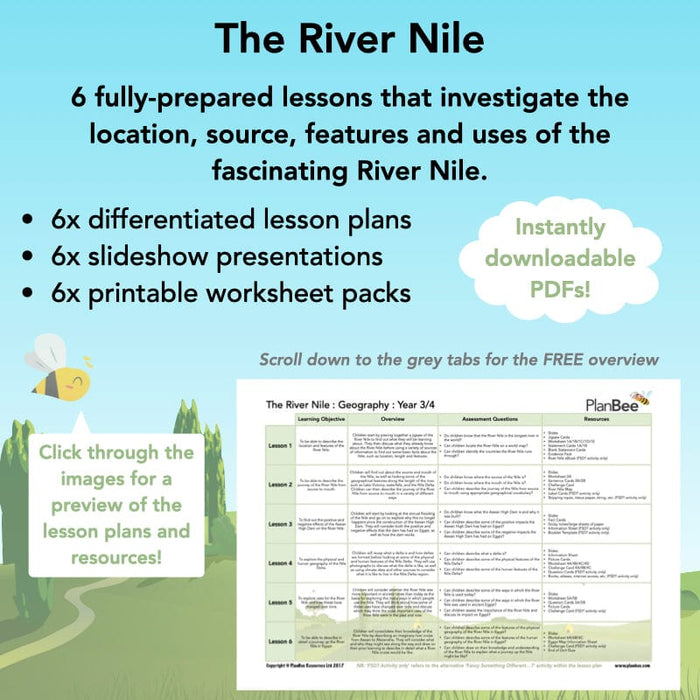
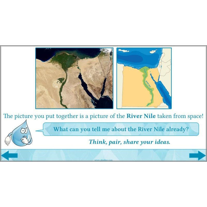
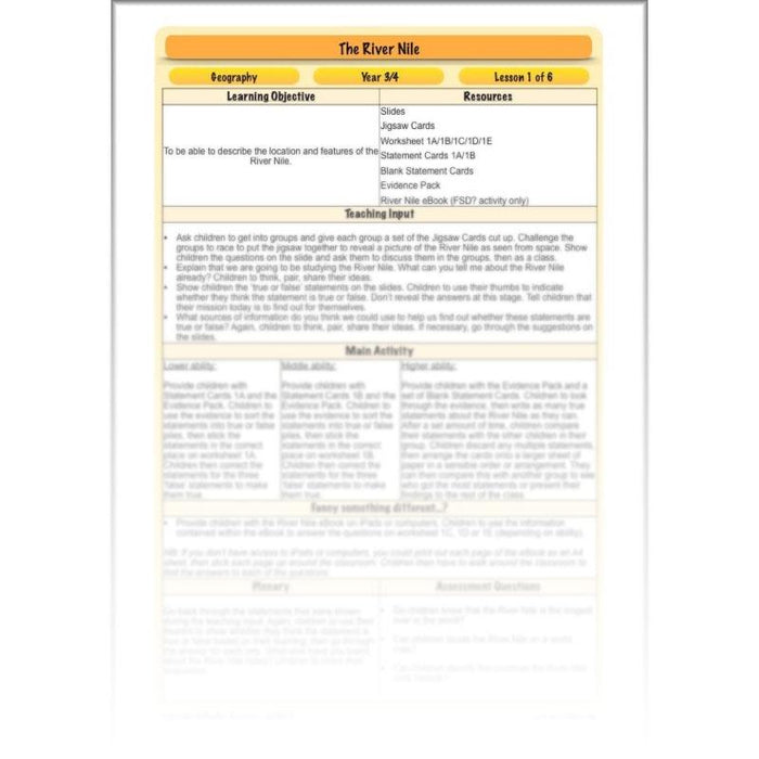
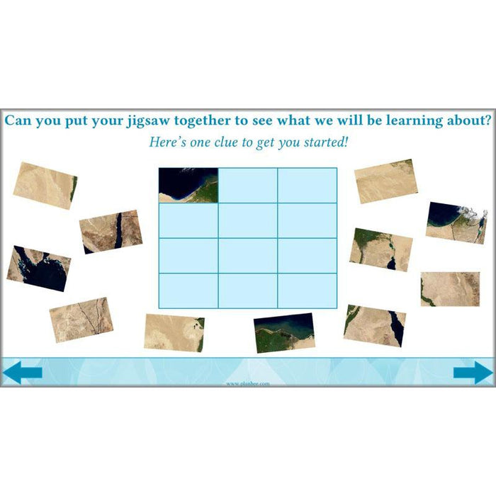
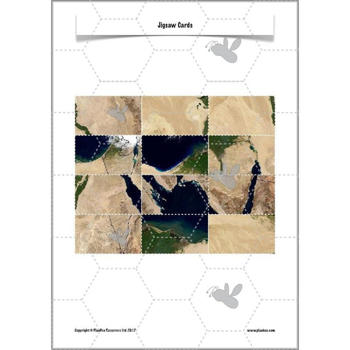
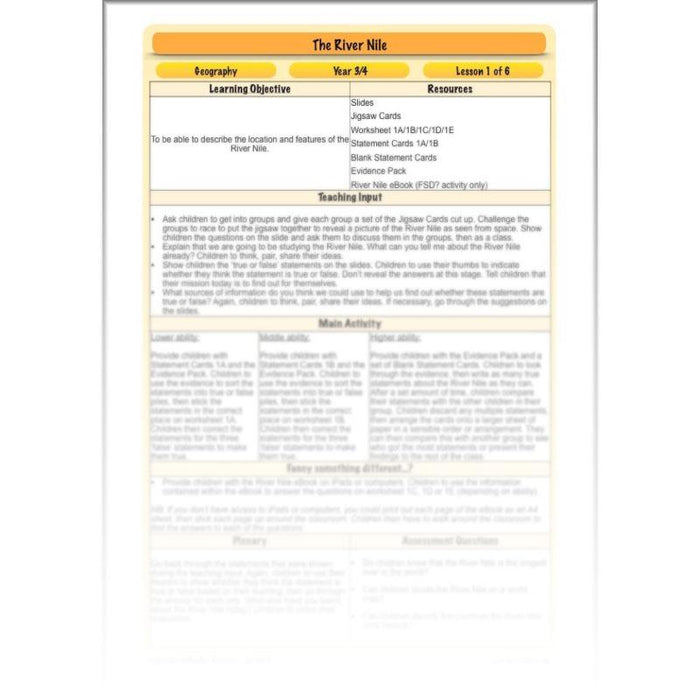
This River Nile Facts KS2 lesson starts by challenging children to piece together a jigsaw of the River Nile as seen from space to find out what they will be learning about. They will then go on to discuss what they already know about the River Nile before using a variety of sources of information to find out some basic facts about the Nile, such as location, length, and features.
With a lesson plan, slideshow for the teaching input, differentiated activity ideas, and a range of printable resources, this River Nile Facts KS2 lesson contains everything you need to give your Year 3 or Year 4 class a solid understanding of the basic facts of the River Nile.
What's included:
- Lesson plan
- Slides
- Activity ideas
- Jigsaw cards
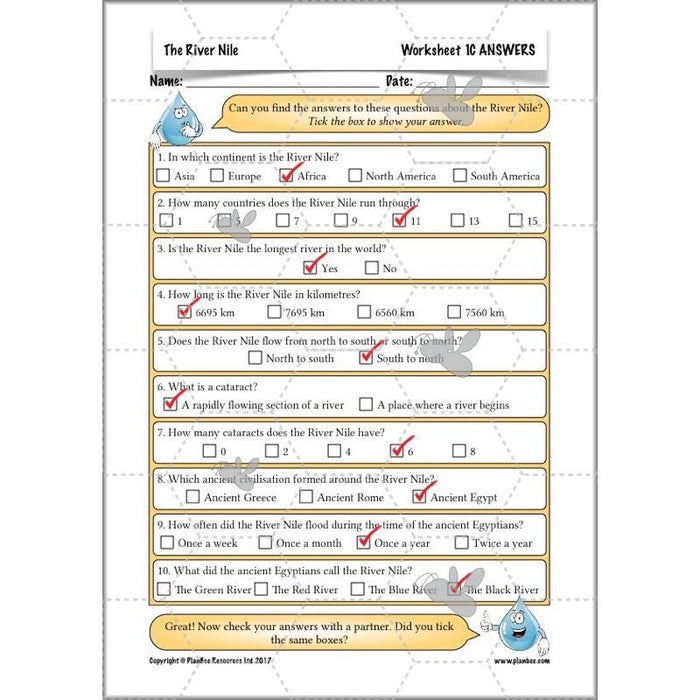
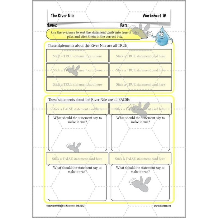
- Differentiated worksheets
- Differentiated statement cards
- Blank statement cards
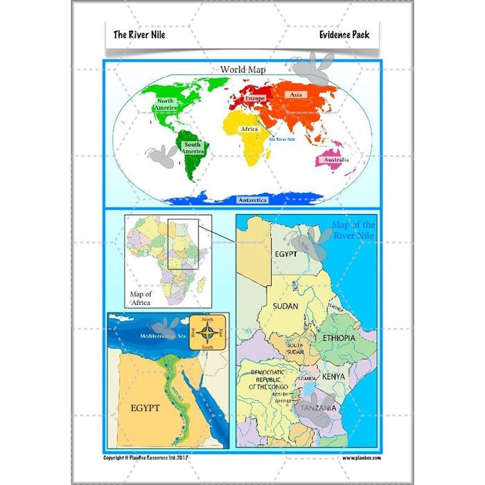
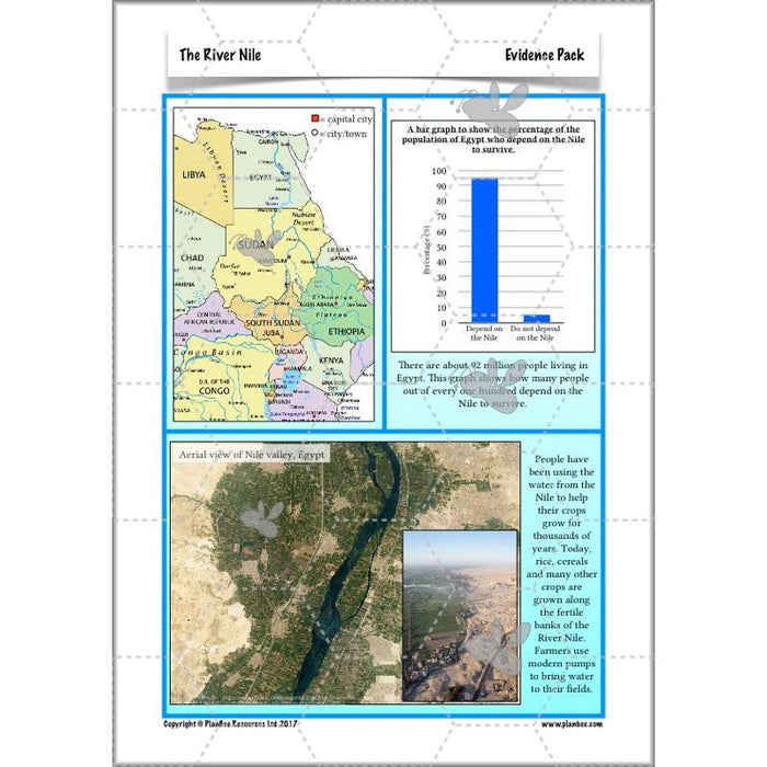
- Evidence pack
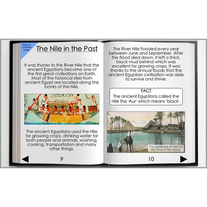
- River Nile eBook
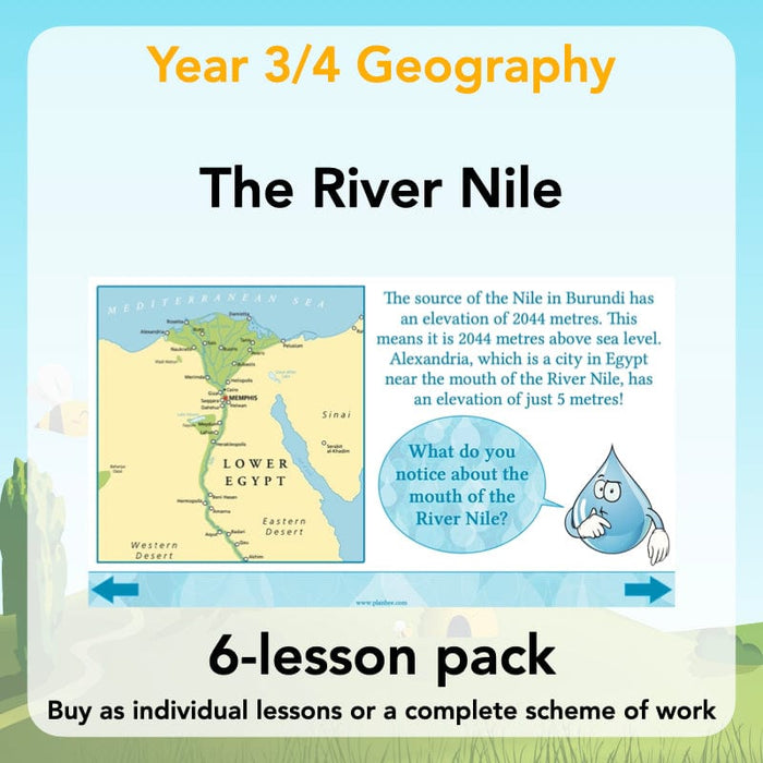
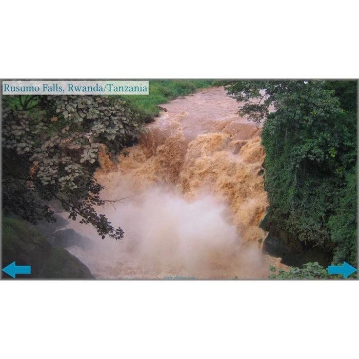
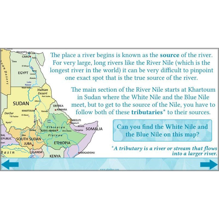
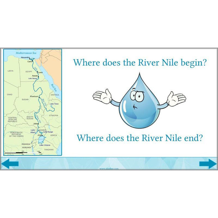
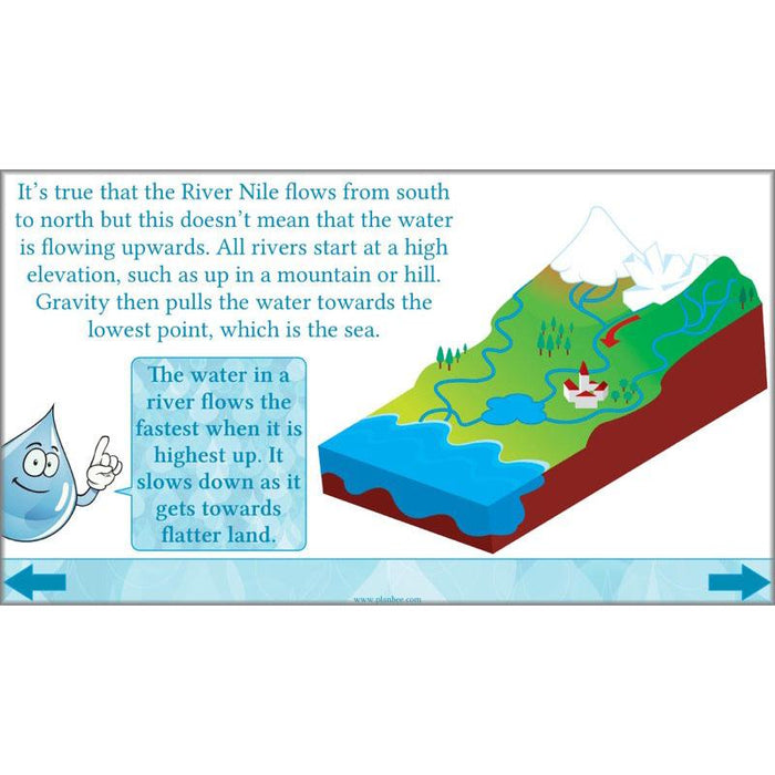
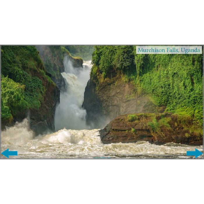
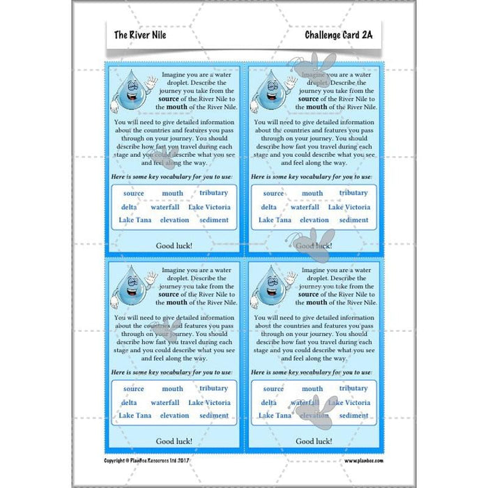
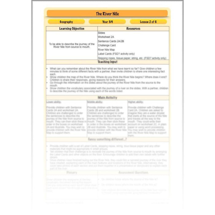
This River Nile Source to Mouth lesson will teach your class both where the River Nile begins and ends, as well as looking at its journey from source to mouth. Starting from its source all the way to the Mediterranean Sea, your class will discover tributaries, waterfalls, and the Nile Delta along the way. During their independent activities, they can then describe the journey of the Nile from source to mouth in a variety of engaging ways.
What's included:
- Lesson plan
- Slides
- Activity ideas
- Worksheet
- Differentiated sentence cards
- Challenge card
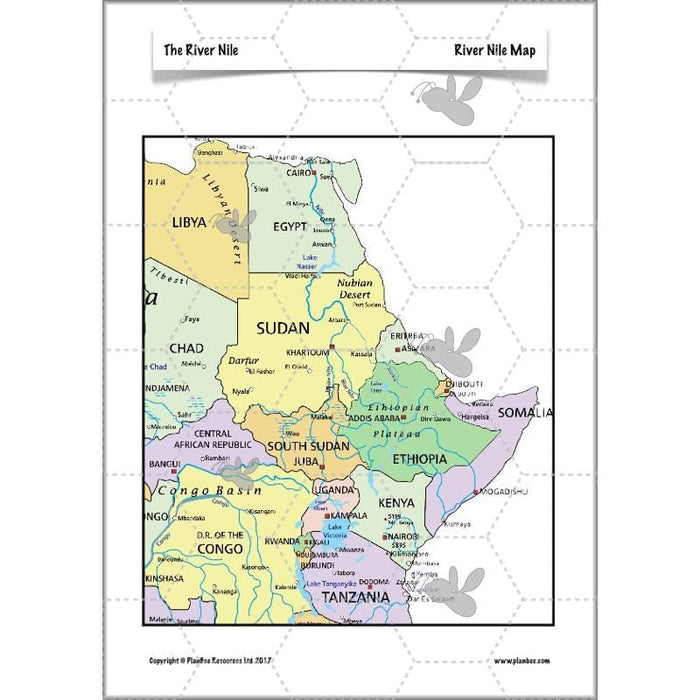
- River Nile map
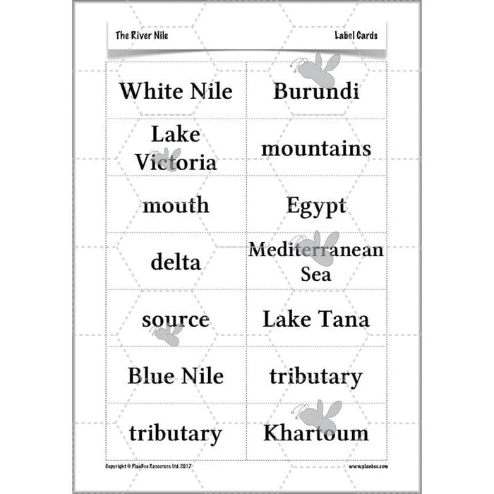
- Label cards
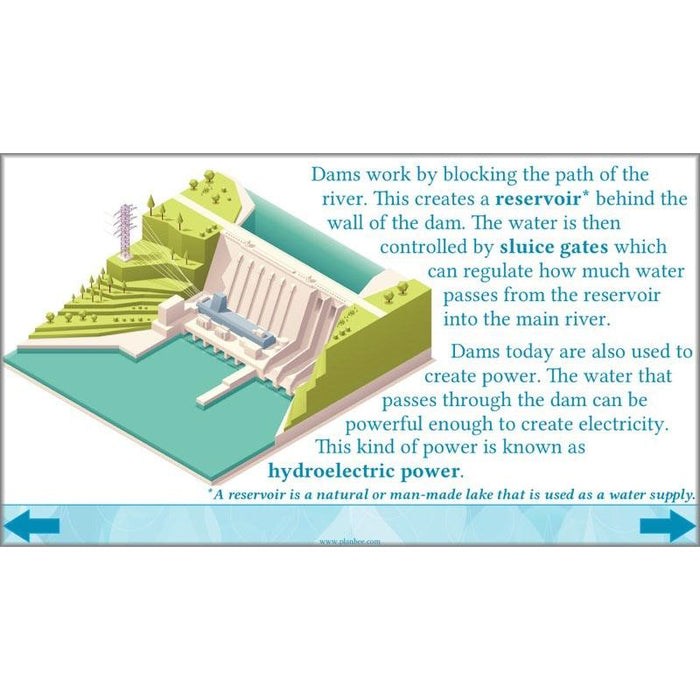
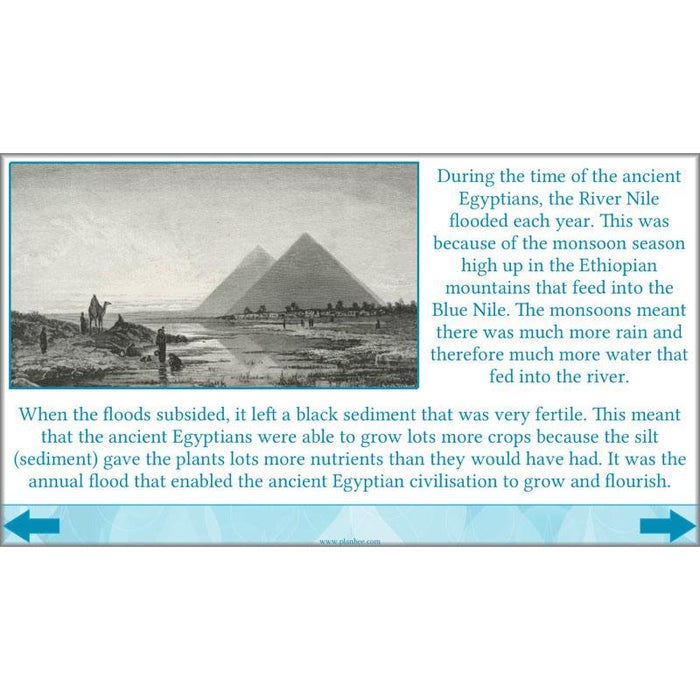
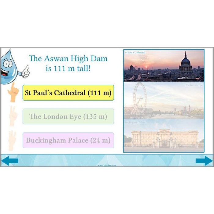
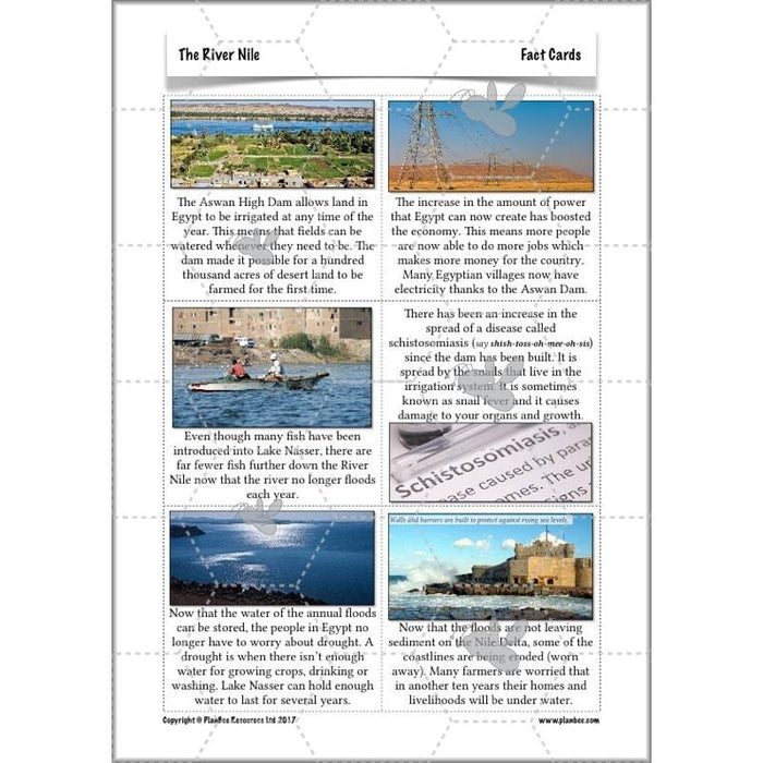
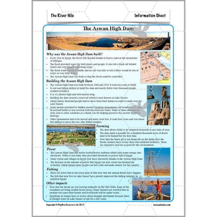
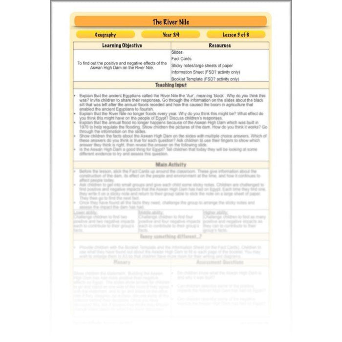
This lesson starts by finding out more about the annual flooding of the Nile and goes on to explore why this no longer happens since the construction of the Aswan High Dam in 1970. They will consider both the positive and negative effects that the dam has had on Egypt, as well as learning about how dams work and what impact they have on the environment.
What's included:
- Lesson plan
- Slides
- Activity ideas
- Fact cards
- Information sheet
- Booklet templates
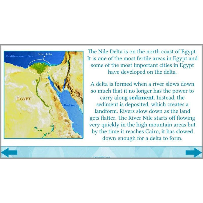
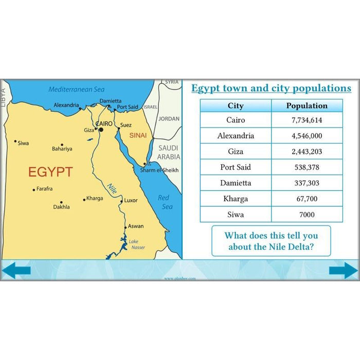
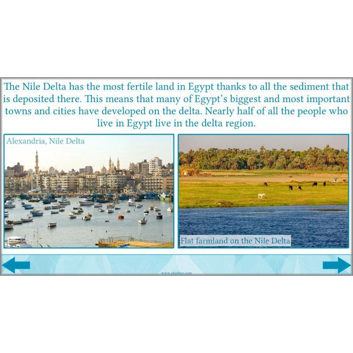
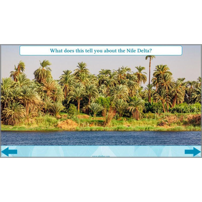
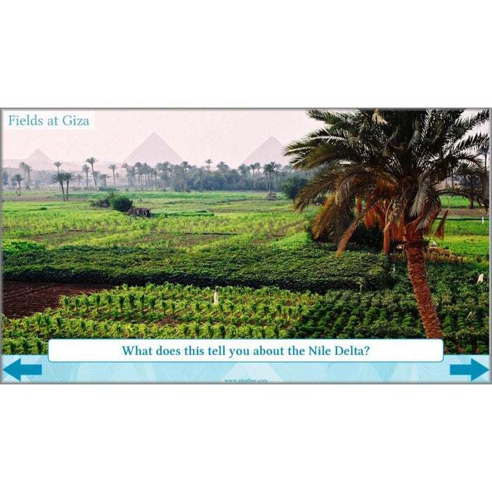
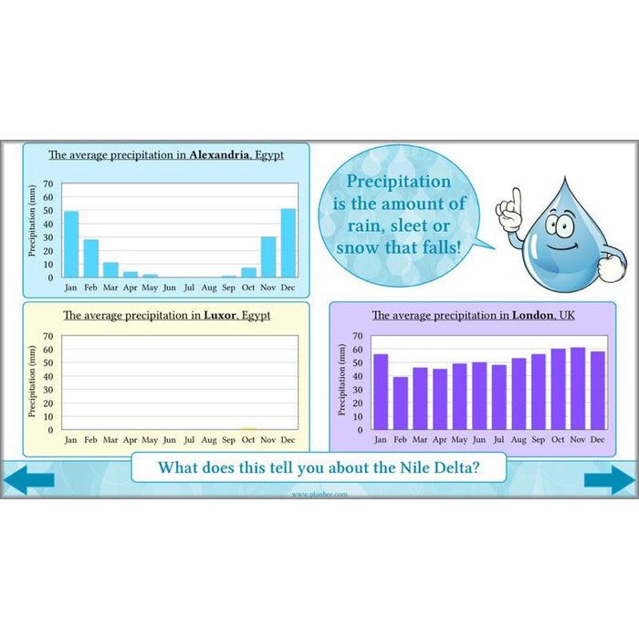
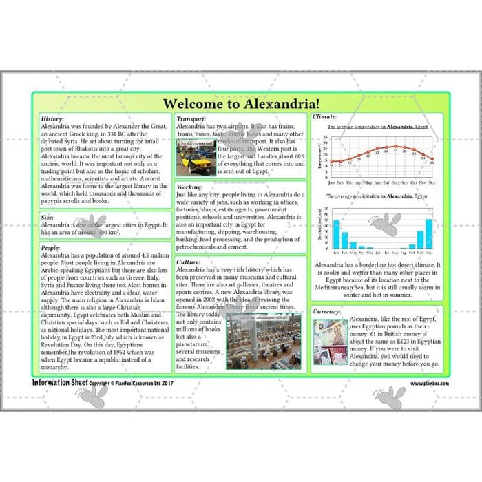
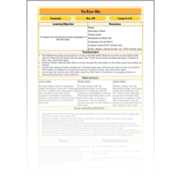
Children will recap what a delta is and how deltas are formed at the beginning of this lesson, before looking at some of the physical and human features of the Nile Delta. They will use photographs to discuss what the delta is like, as well as using climate data and other sources to consider what it is like to live in the Nile Delta region.
What's included:
- Lesson plan
- Slides
- Activity ideas
- Information sheet
- Picture cards
- Differentiated worksheets
- Differentiated challenge cards
- Question cards
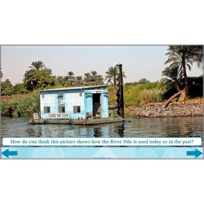
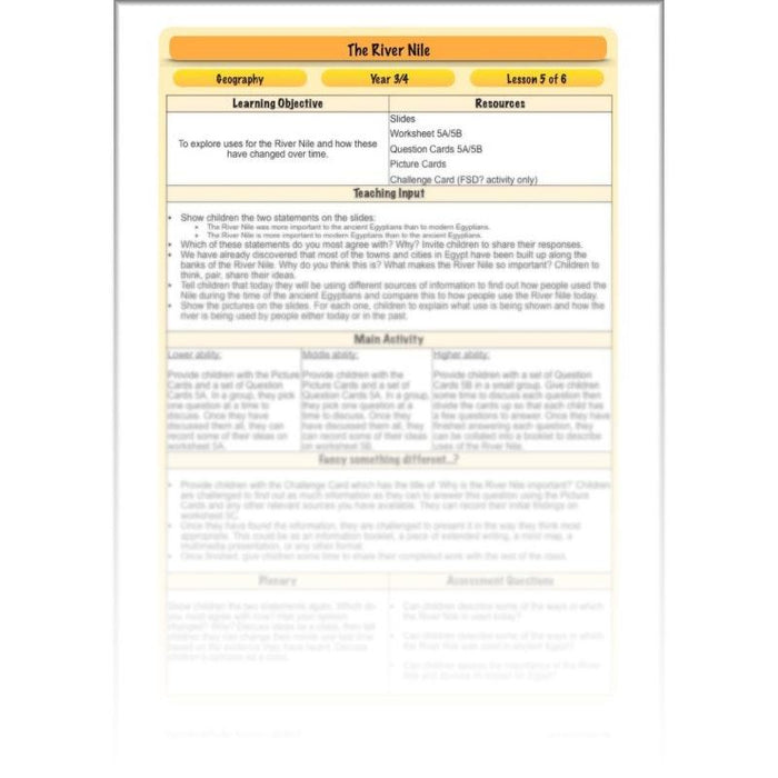
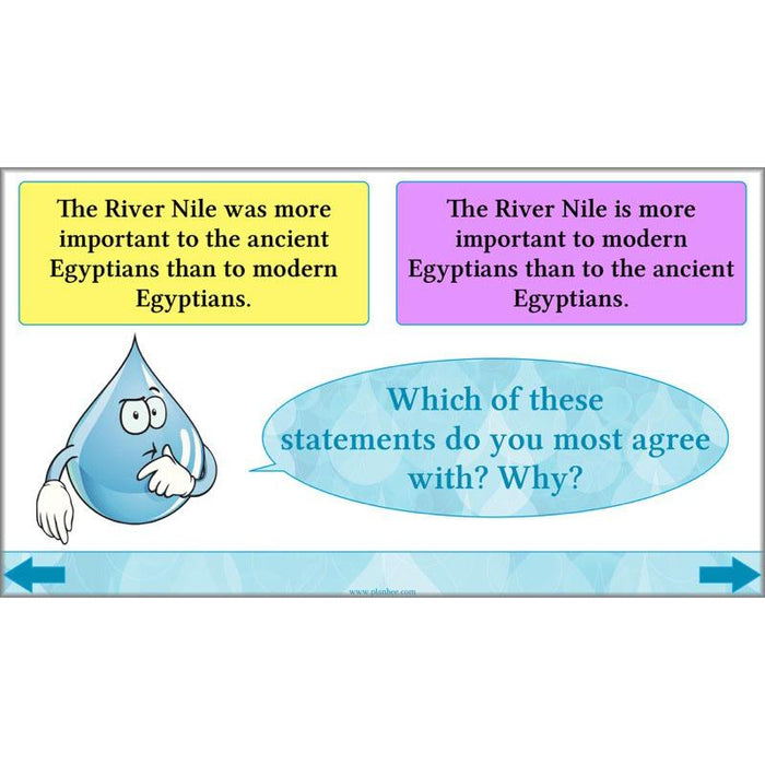
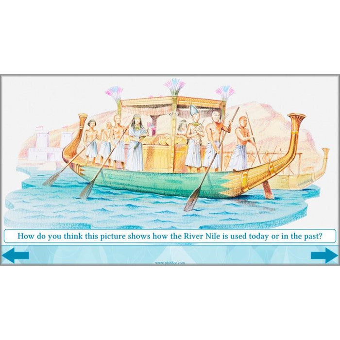
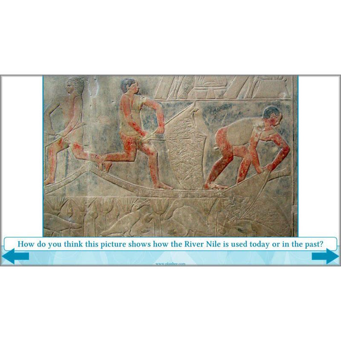
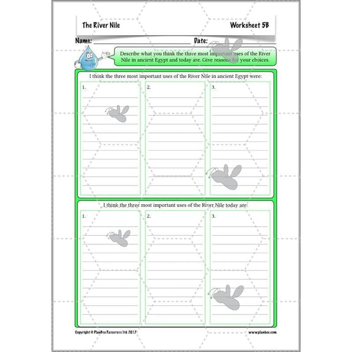
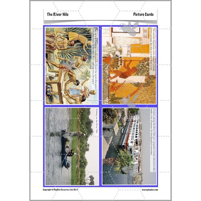
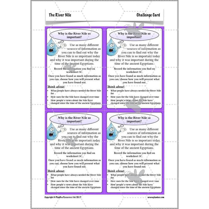
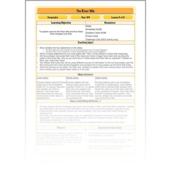
Children will consider the many River Nile uses in this lesson as they consider the question of whether the River Nile was more important in ancient times than it is today. Children will research the many ways in which people use the River Nile, both today and during the ancient Egyptian civilisation. They will think about why some of the River Nile uses have changed over time and discuss which they think the most important uses were in the past and today.
What's included:
- Lesson plan
- Slides
- Activity ideas
- Differentiated worksheets
- Differentiated question cards
- Picture cards
- Challenge card
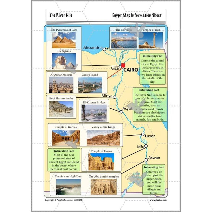
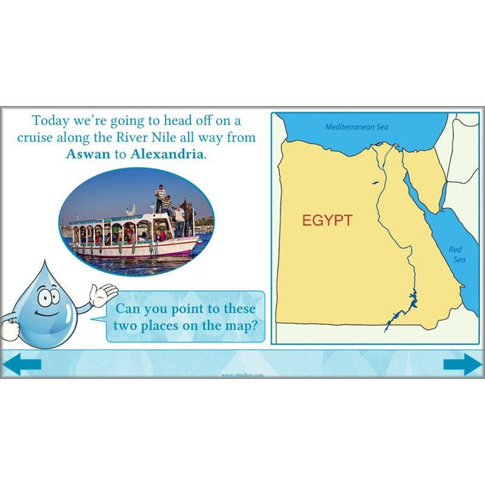
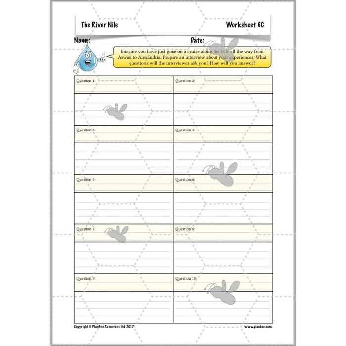
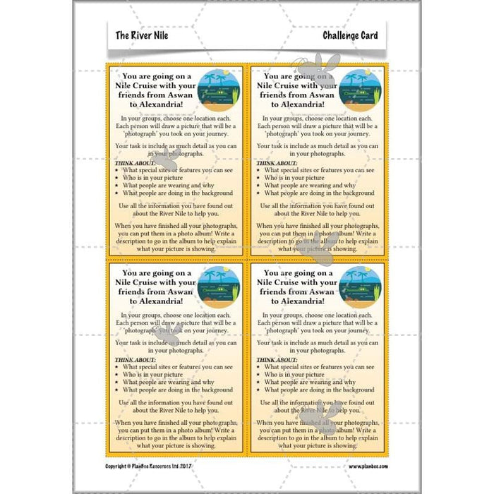
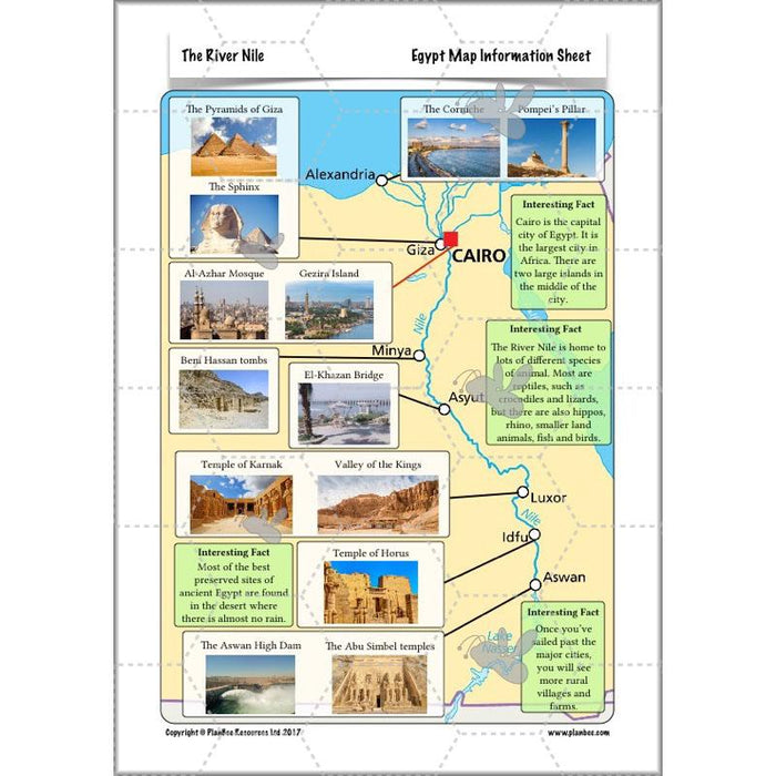
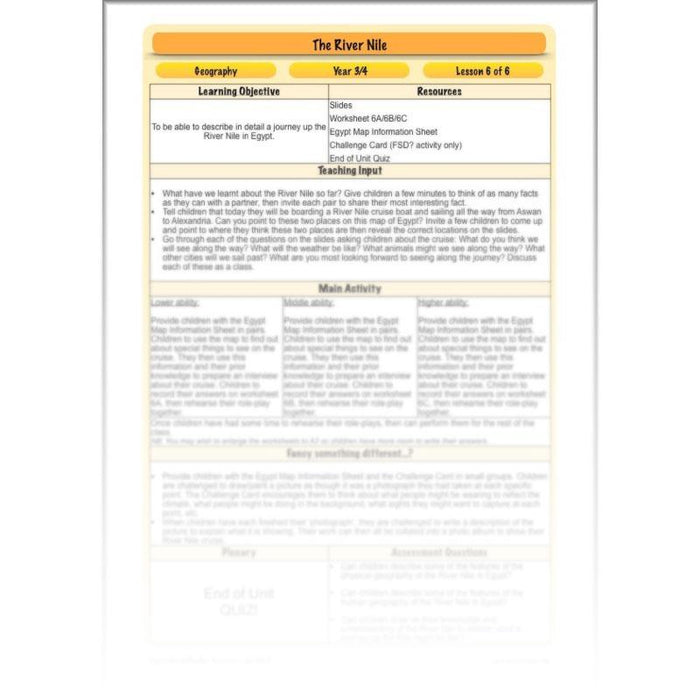
The final lesson in this series gives your class the chance to consolidate their knowledge of the River Nile by describing an imaginary river cruise from Aswan all the way to Alexandria. They will consider what and who they might see along the way and draw on their prior learning to describe in detail what a River Nile cruise would be like.
What's included:
- Lesson plan
- Slides
- Activity ideas
- Differentiated worksheets
- Egypt map information sheet
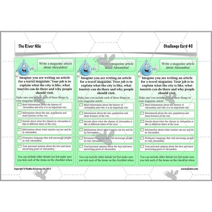
- Challenge card
- End of unit quiz
<<
-
free overview (medium-term plan)
...
-
free assessment grid
...
-
curriculum objectives covered
...
>>
Download a free overview to support your teaching of this scheme of work.
Download a free, editable assessment grid to support your teaching of this scheme of work.
- KS2 - locate the world’s countries, using maps to focus on Europe (including the location of Russia) and North and South America, concentrating on their environmental regions, key physical and human characteristics, countries, and major cities
- KS2 - describe and understand key aspects of physical geography, including: climate zones, biomes and vegetation belts, rivers, mountains, volcanoes and earthquakes, and the water cycle
- KS2 - describe and understand key aspects of human geography, including: types of settlement and land use, economic activity including trade links, and the distribution of natural resources including energy, food, minerals and water
- KS2 - use maps, atlases, globes and digital/computer mapping to locate countries and describe features studied
