#TheCompleteSeries6lessons
Detailed lesson plan, informative and engaging slides, activity ideas, differentiated worksheet, fact cards, maps and much more, provide all you need to teach this great KS2 Geography scheme of work, leaving you free to enjoy the journey with your class!
This scheme of work is also part of a Topic Bundle. Perfect if you are teaching 'The Vikings' as a cross-curricular topic.
#Lesson1Location
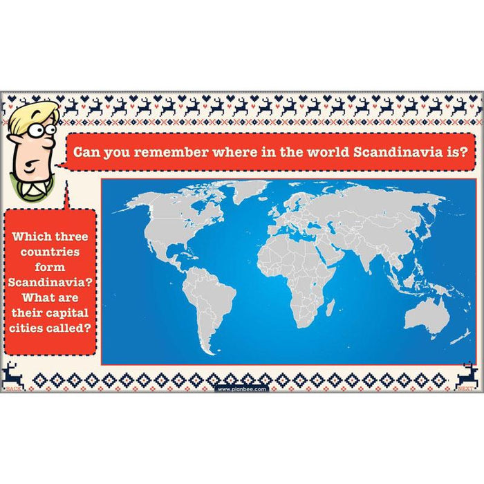
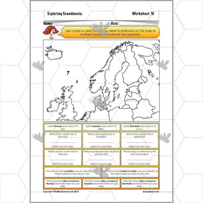
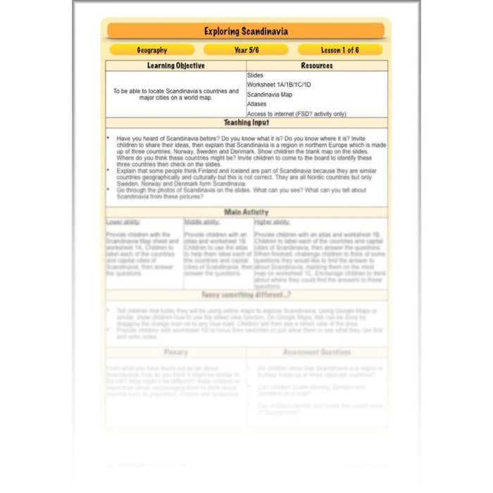
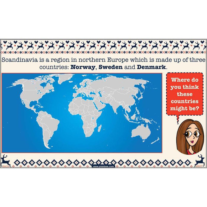
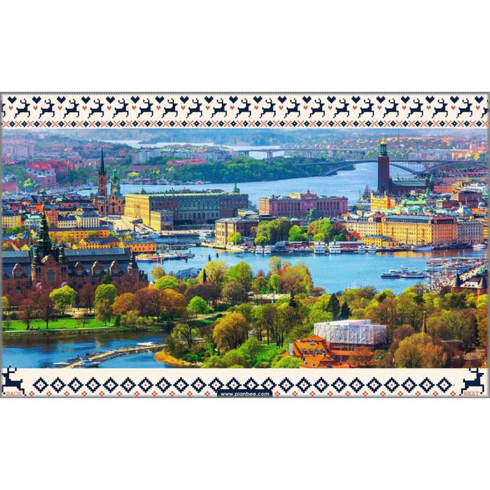
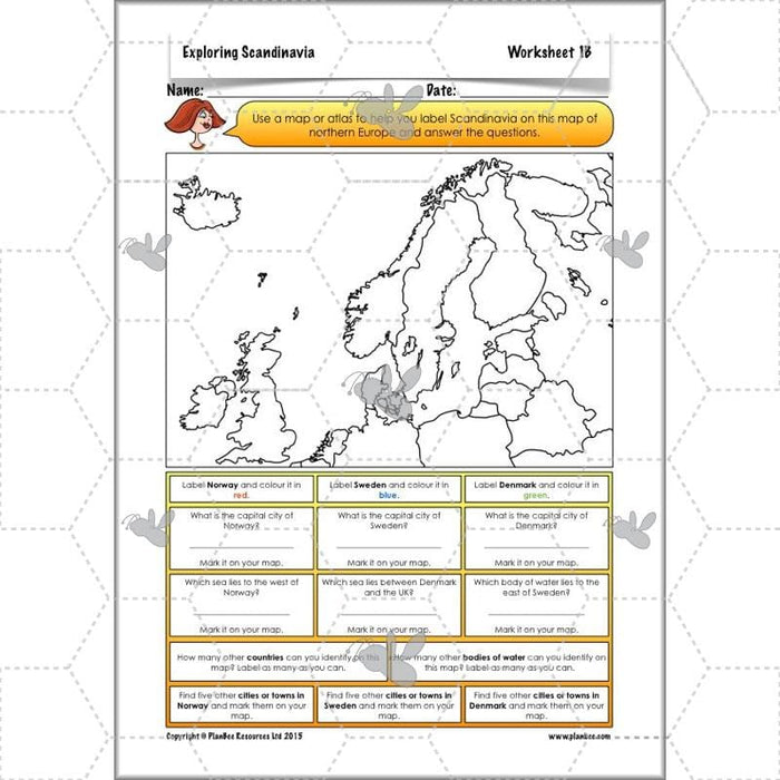
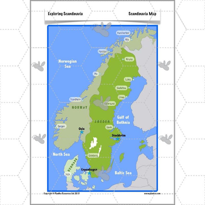
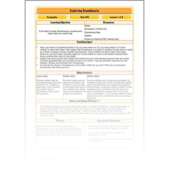
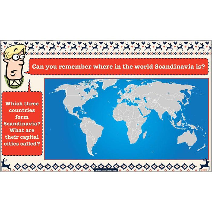
The first lesson in this series starts by defining exactly what and where Scandinavia is. Your class will learn how to locate Norway, Sweden and Denmark on a world map before looking at a variety of photographs to hunt for clues as to what Scandinavia is like.
What's included:
- Lesson plan
- Slides
- Activity ideas
- Differentiated worksheets
- Scandinavia map
#Lesson2Climate
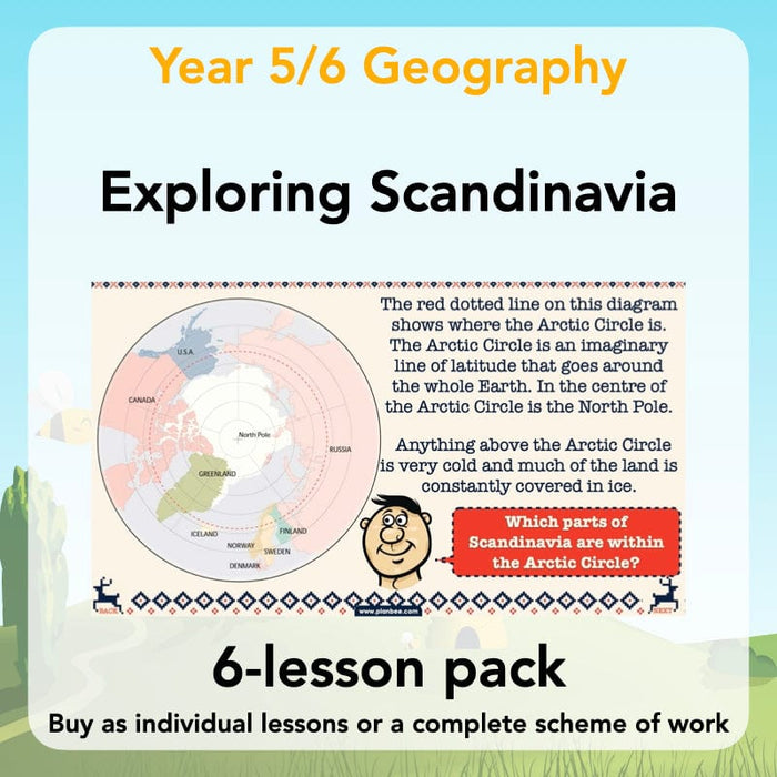
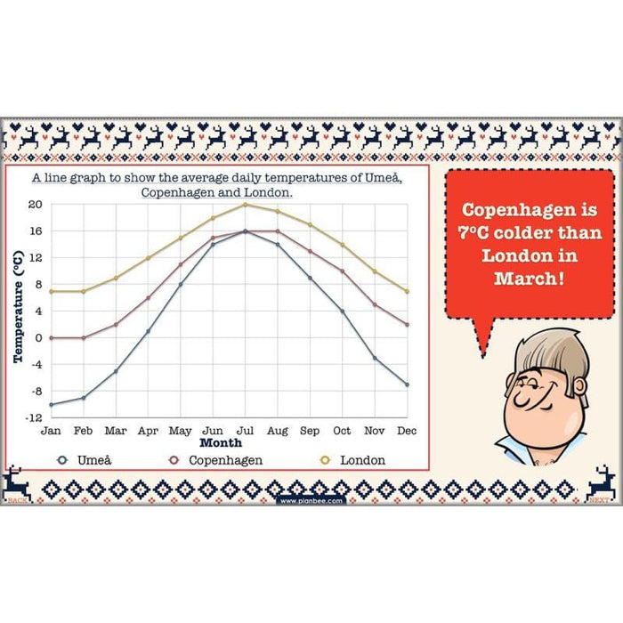
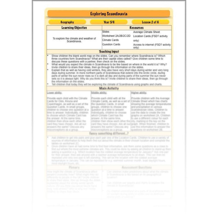
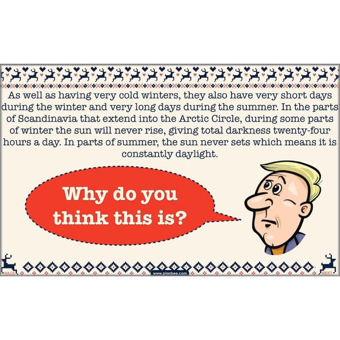
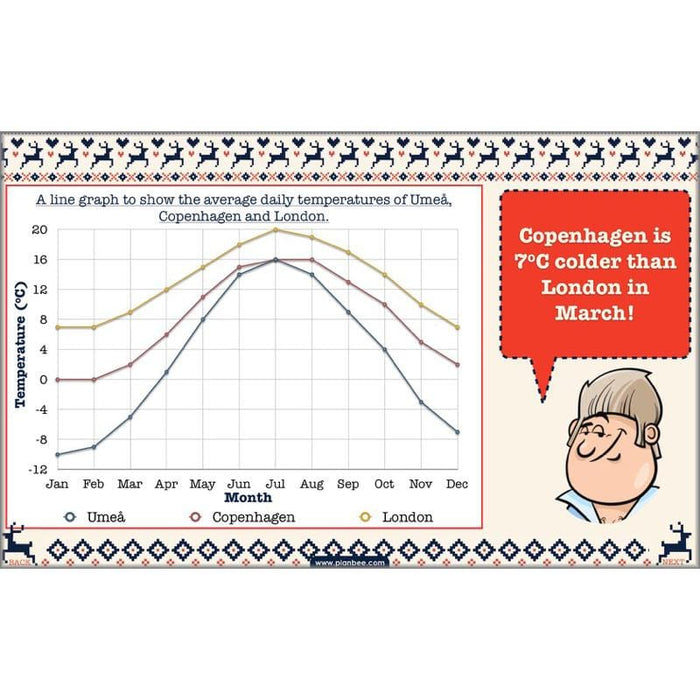
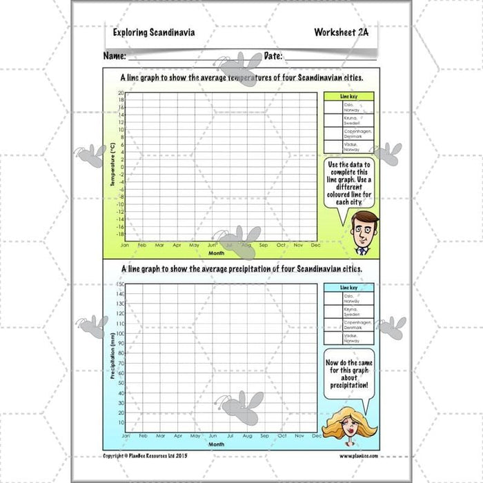
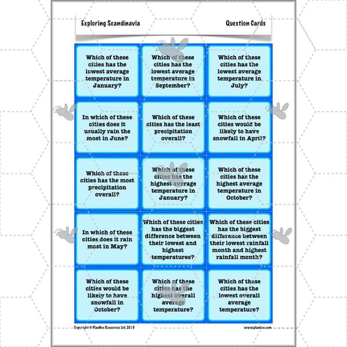
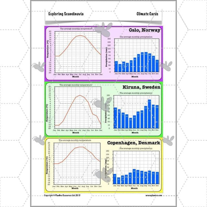
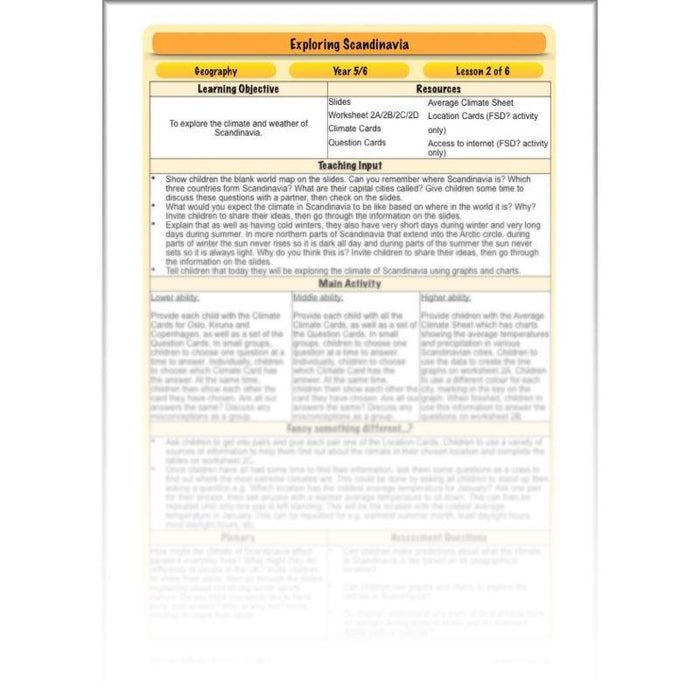
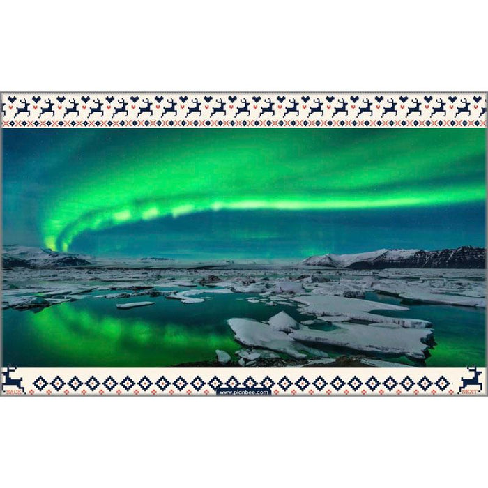
This lesson explores the different climates in Scandinavia and teaches your class why some areas are colder than others by identifying areas of Norway and Sweden that are in the Arctic Circle. As well as exploring the effect the Arctic has on the weather, they will also explore how this affects the hours of daylight across the seasons. They will then go on to use graphs and charts to find out about the climate in different cities in Scandinavia.
What's included:
- Lesson plan
- Slides
- Activity ideas
- Differentiated worksheets
- Climate cards
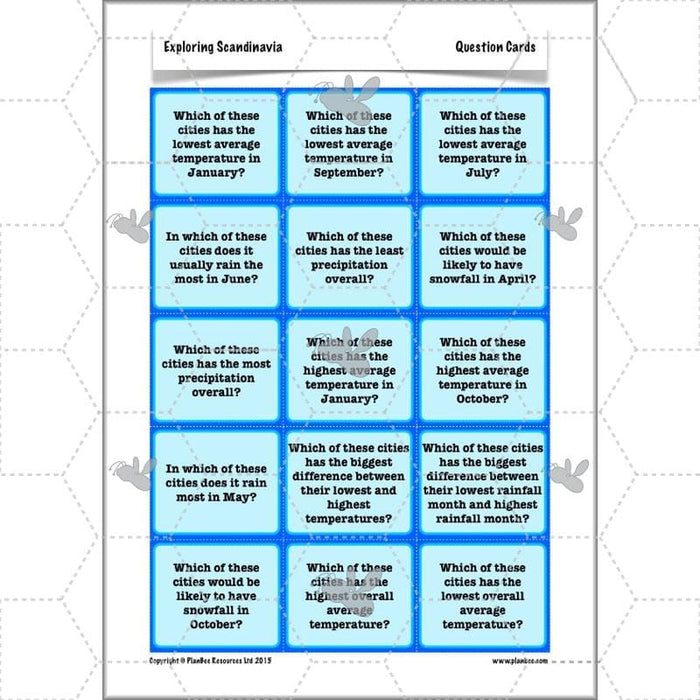
- Question cards
- Average climate sheet
- Location cards
#Lesson3PhysicalFeatures
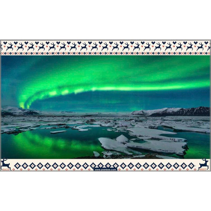
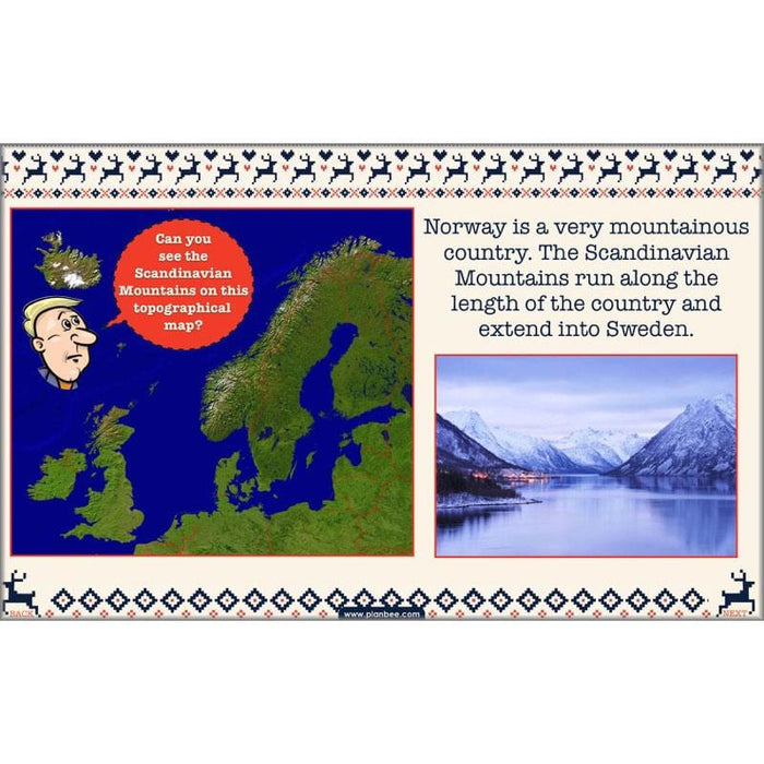
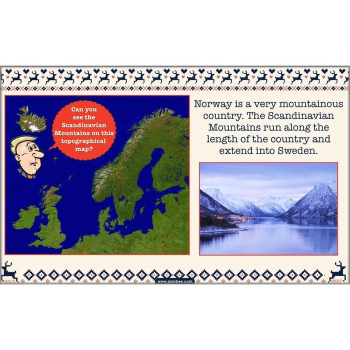
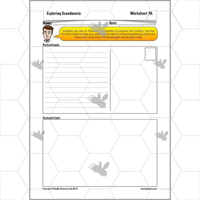
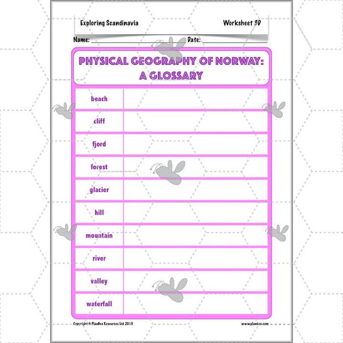
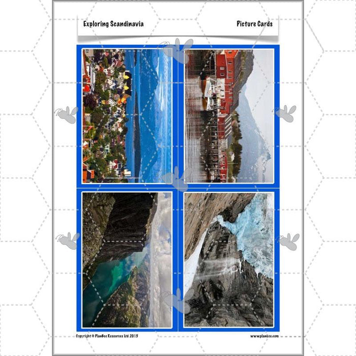
This lesson shows your class the stunning scenery of Norway as they explore a variety of its distinctive physical features, including glaciers, fjords and waterfalls. It then goes on to compare Norway's physical features with those of Sweden and Denmark.
What's included:
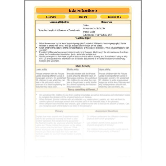
- Lesson plan
- Slides
- Activity ideas
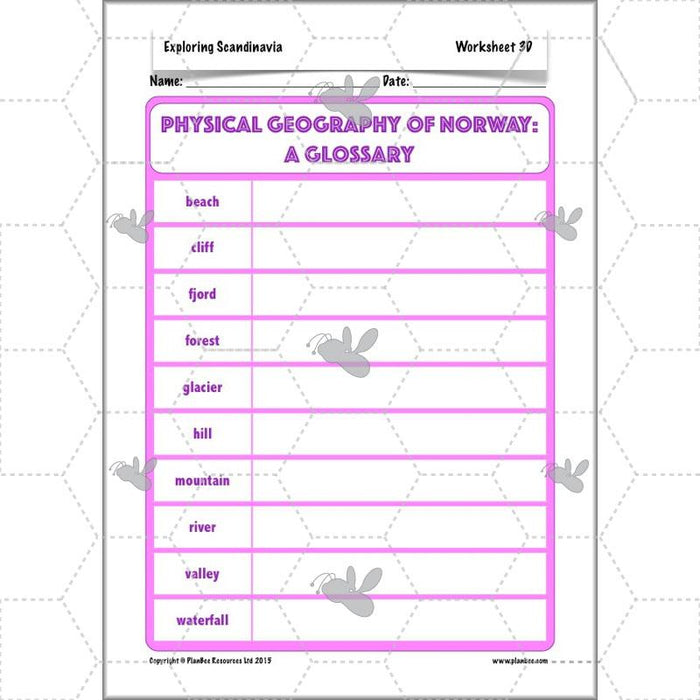
- Differentiated worksheets
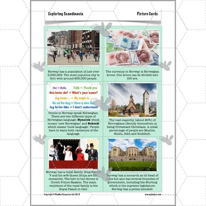
- Picture cards
#Lesson4HumanFeatures
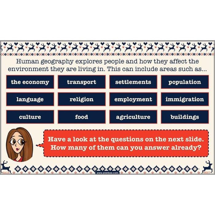
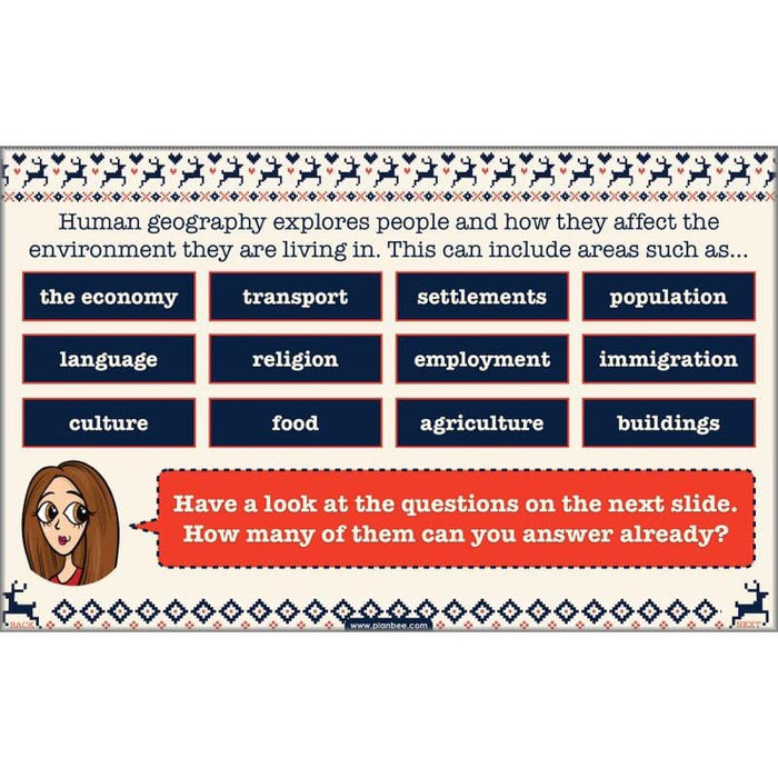
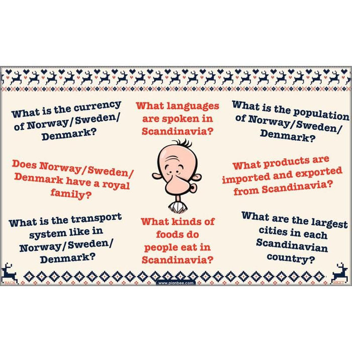
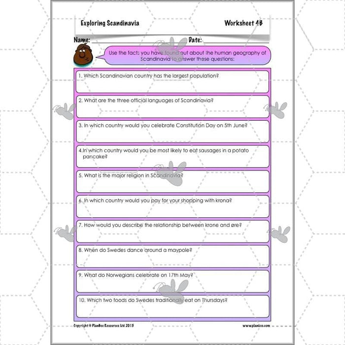
Now that your class know about the physical geography of Scandinavia it is time for them to explore the human geography! This lesson helps your class to explore the human features of Norway, Sweden and Denmark, including language, population, currency, culture, cities and settlements. Your class will be able to put their research skills to the test as they learn about life in Scandinavia.
What's included:
- Lesson plan
- Slides
- Activity ideas
- Differentiated worksheets
- Fact cards
- Fact files
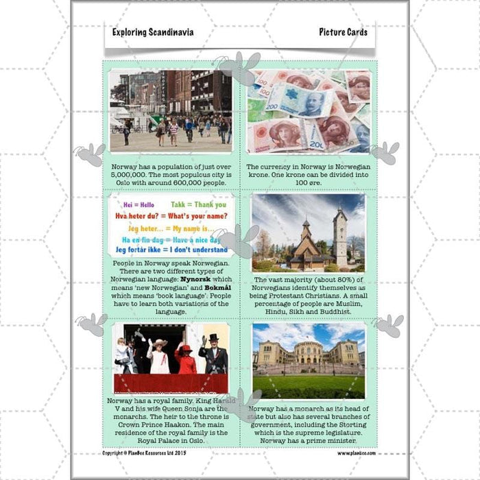
- Picture cards
#Lesson5ScandinaviavsUK
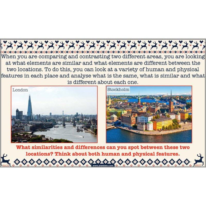
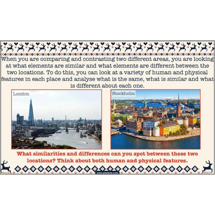
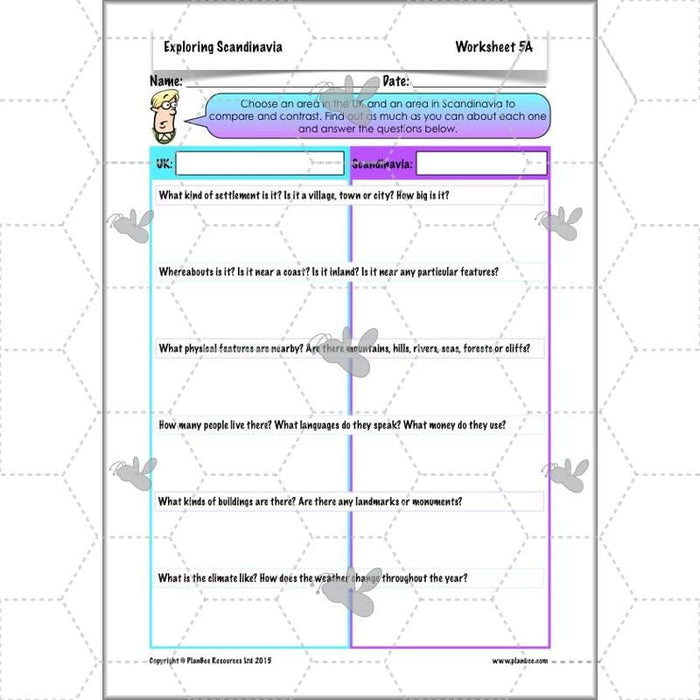
Your class should by now be familiar with both the physical and human geography of the different Scandinavian countries. This lesson now encourages them to put this into context as they compare an area in the UK with an area in Scandinavia. Working individually or in groups, your children will have the chance to use what they already know, as well as researching facts they don't, to compare and contrast different aspects of two locations.
What's included:
- Lesson plan
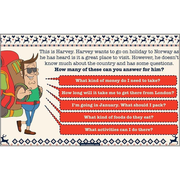
- Slides
- Activity ideas
- Differentiated worksheets
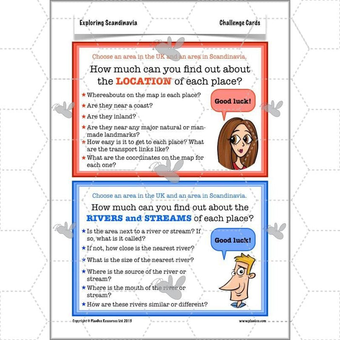
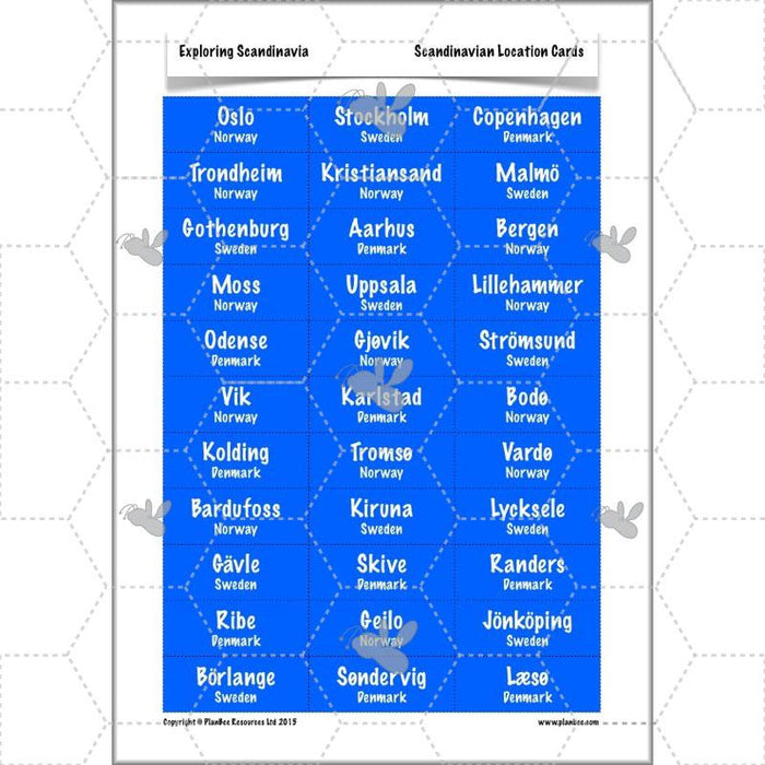
- UK and Scandinavia location cards
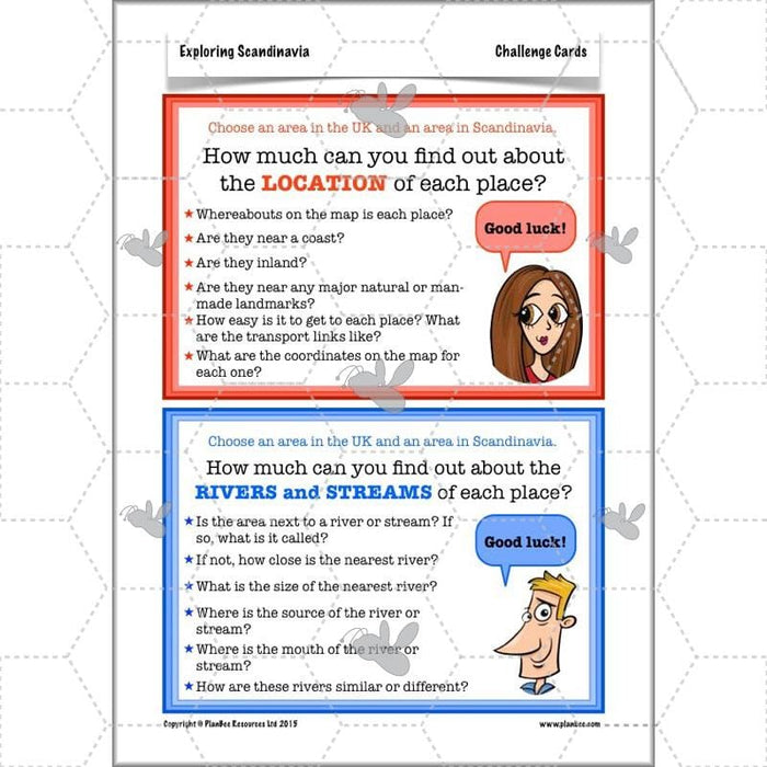
- Challenge cards
#Lesson6HolidayPlans
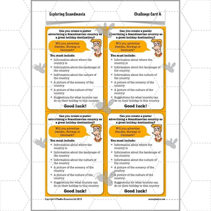
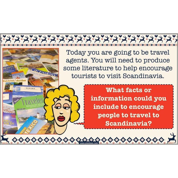
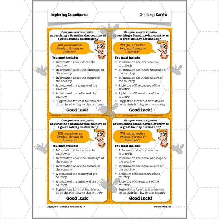
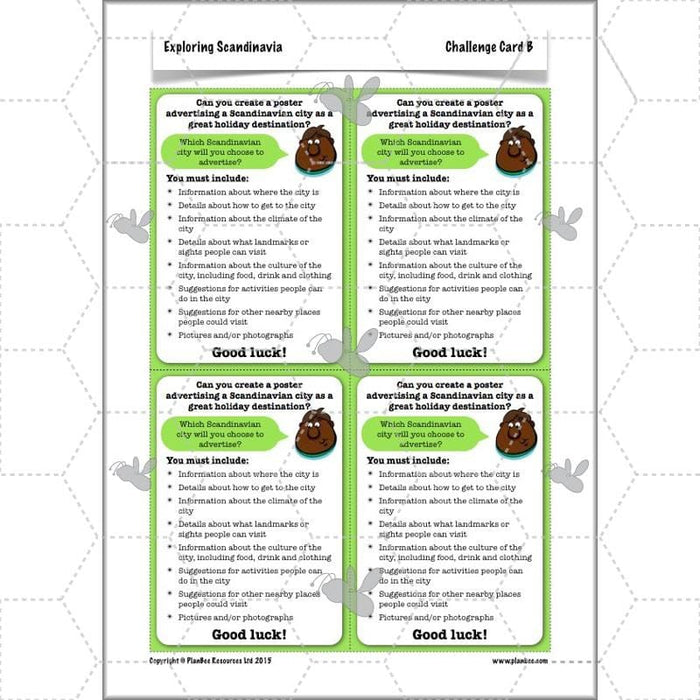
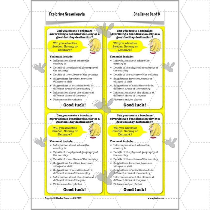
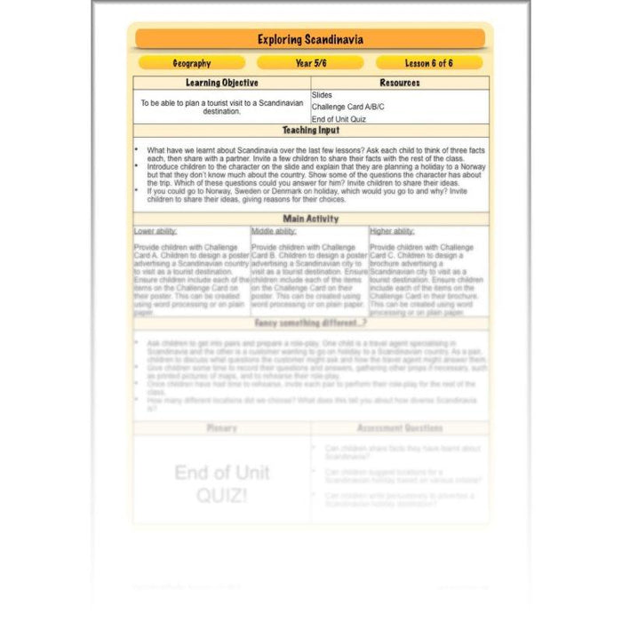
The final lesson in this series will see your children transformed into a travel agents as they produce a variety of literature encouraging tourists to visit a particular country or location in Scandinavia. To do this, they will need to draw on everything they have learnt, as well as employing their powers of persuasion!
What's included:
- Lesson plan
- Slides
- Activity ideas
- Differentiated challenge cards
- End of unit quiz
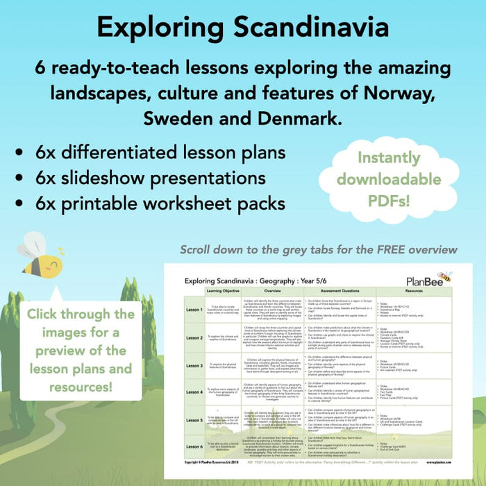
Free Overview (Medium-Term Plan)
Download a free overview to support your teaching of this scheme of work.
Free Assessment Grid
Download a free, editable assessment grid to support your teaching of this scheme of work.
Curriculum Objectives covered
- KS2 - locate the world’s countries, using maps to focus on Europe (including the location of Russia) and North and South America, concentrating on their environmental regions, key physical and human characteristics, countries, and major cities
- KS2 - identify the position and significance of latitude, longitude, Equator, Northern Hemisphere, Southern Hemisphere, the Tropics of Cancer and Capricorn, Arctic and Antarctic Circle, the Prime/Greenwich Meridian and time zones (including day and night)
- KS2 - understand geographical similarities and differences through the study of human and physical geography of a region of the United Kingdom, a region in a European country, and a region within North or South America
- KS2 - describe and understand key aspects of physical geography, including: climate zones, biomes and vegetation belts, rivers, mountains, volcanoes and earthquakes, and the water cycle
- KS2 - describe and understand key aspects of human geography, including: types of settlement and land use, economic activity including trade links, and the distribution of natural resources including energy, food, minerals and water
- KS2 - use maps, atlases, globes and digital/computer mapping to locate countries and describe features studied
