#TheCompleteSeries7lessons
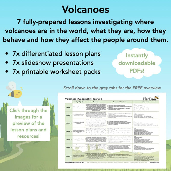
This Volcanoes KS2 planning pack comes with a set of detailed, easy-to-follow lesson plans, a slideshow presentation for each lesson, differentiated activity ideas and a range of printable volcanoes worksheets, picture cards, fact cards and many other colourful, engaging resources – everything you need to make your Geography teaching erupt with amazingness!
#Lesson1Whatandwherearevolcanoes
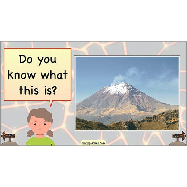
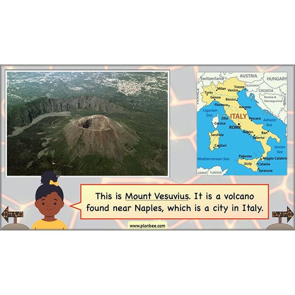
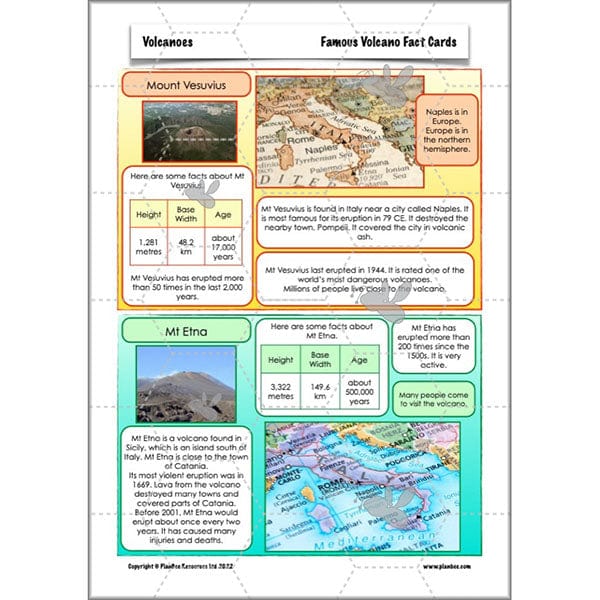
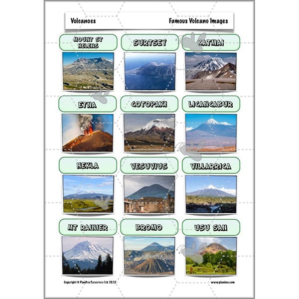
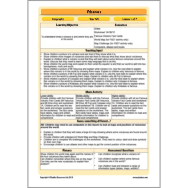
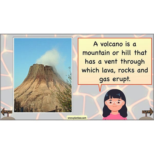
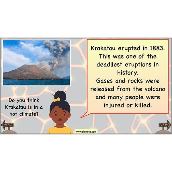
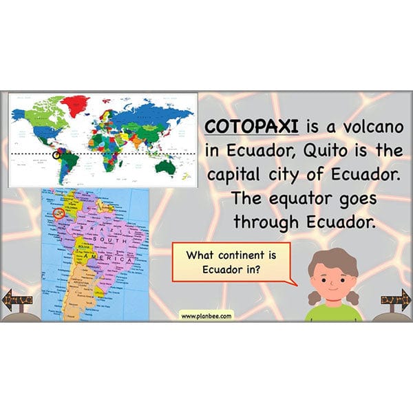
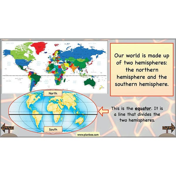
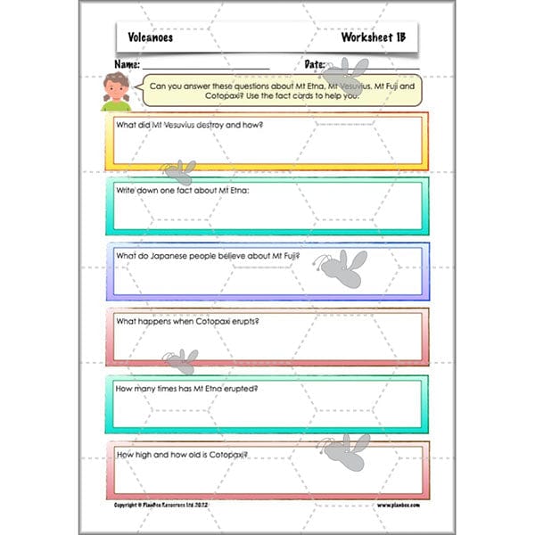
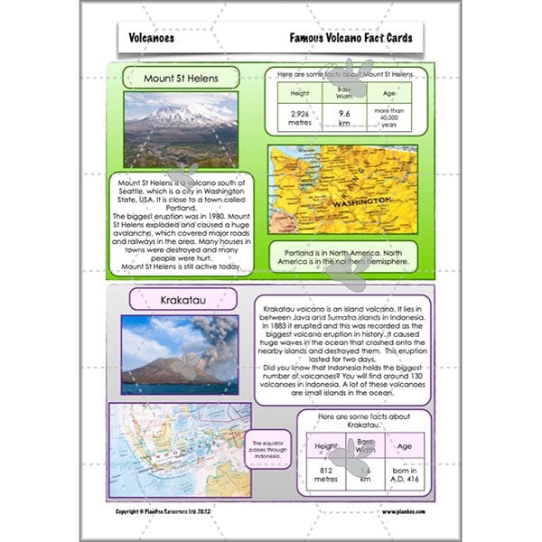
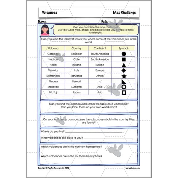
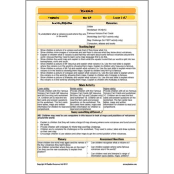
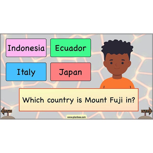
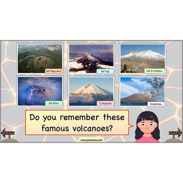
The first lesson in this volcano KS2 scheme of work will give your class the opportunity to explore a world map and identify the northern hemisphere, southern hemisphere and the equator. Your class will use geographical vocabulary and knowledge to find and locate some famous volcanoes around the world. They will learn interesting facts about different volcanoes and why they are famous.
This downloadable lesson contains planning, a slideshow, worksheets and teaching resources all in a ready-to-teach pack.
What's included:
- Lesson plan
- Slides
- Activity ideas
- Differentiated worksheets
- World map challenges
- Fact cards
#Lesson2Eruptions
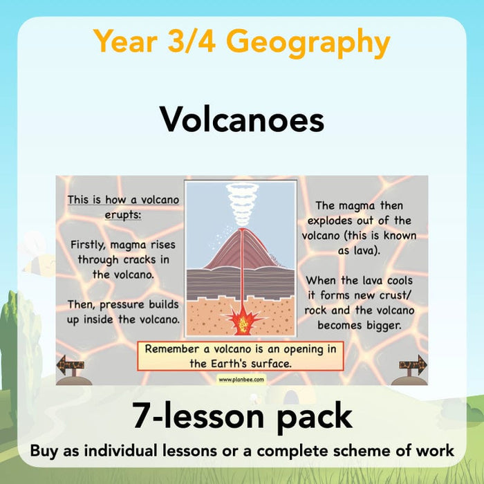
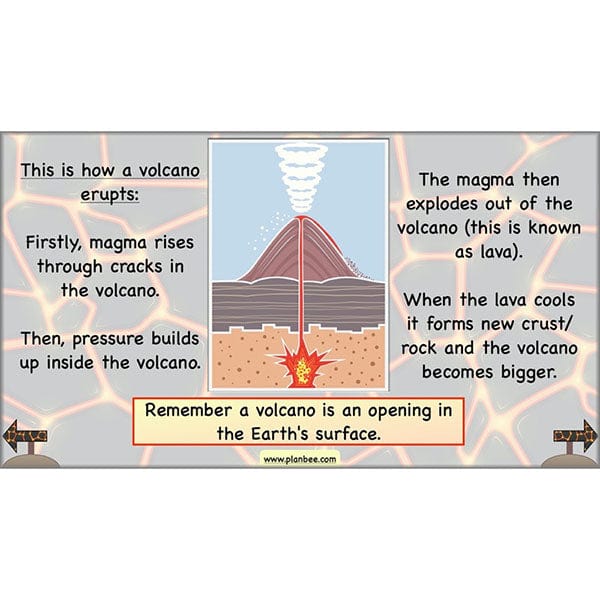
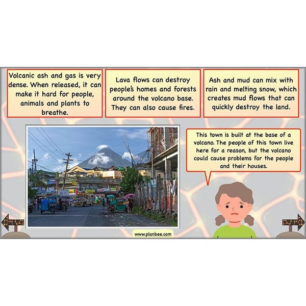
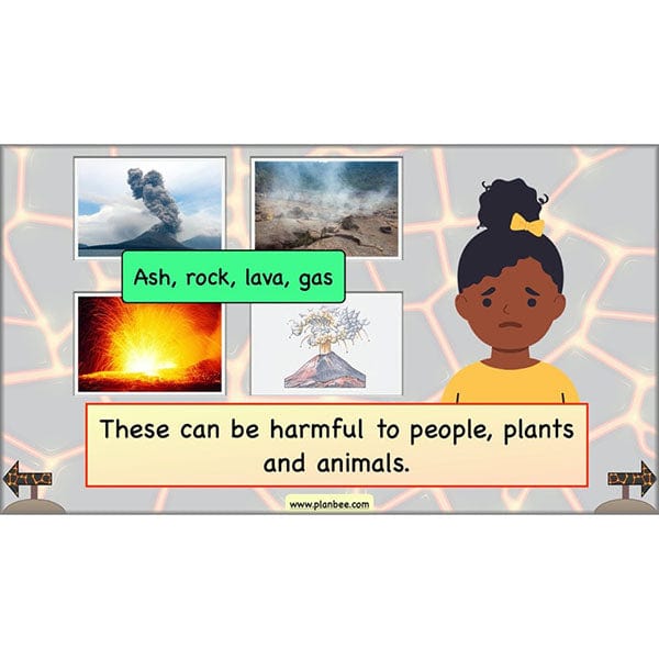
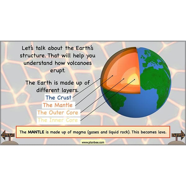
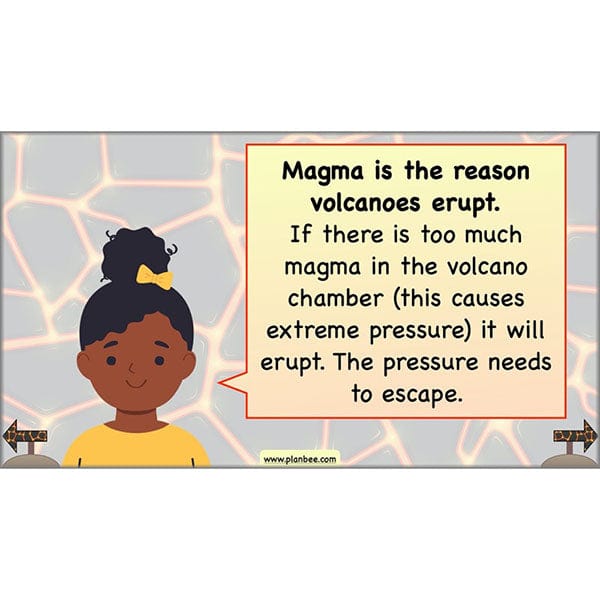
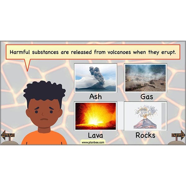
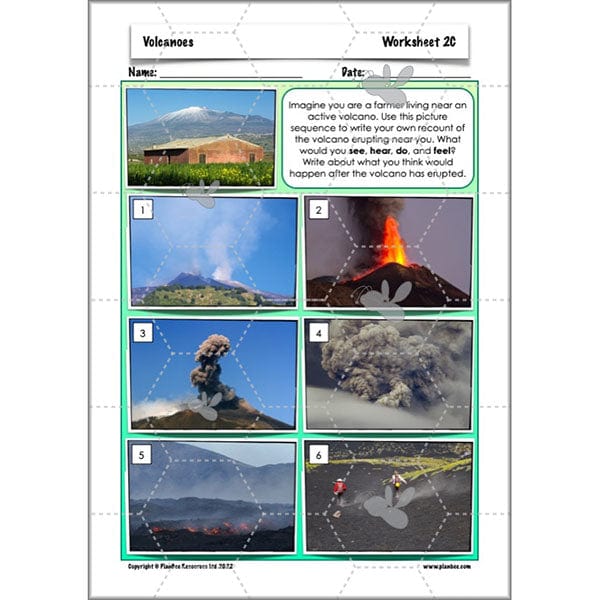
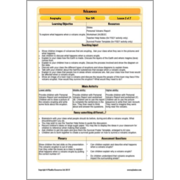
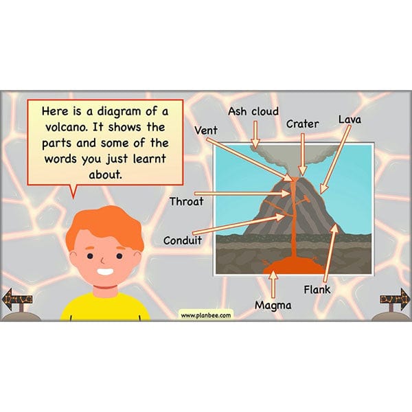
Learn how volcanoes are formed in this volcano eruption KS2 lesson. Your class will view detailed images of volcanoes erupting and discuss what it happening. They will learn what happens when a volcano erupt and what causes the eruption. Your class will have the chance to explore labelled diagrams and begin to understand the impact volcanic eruptions have on the surrounding environment.
This downloadable lesson contains a plan, slideshow, worksheets and teaching resources in a ready-to-teach pack.
What's included:
- Lesson plan
- Slides
- Activity ideas
- Differentiated worksheets
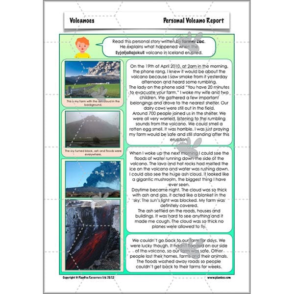
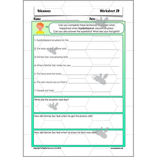
- Volcano eruption story
- Poster template
#Lesson3Featuresandtypesofvolcanoes
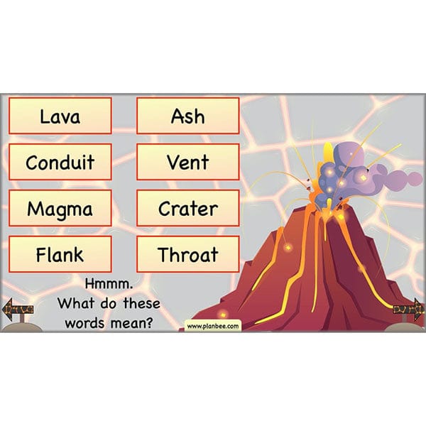
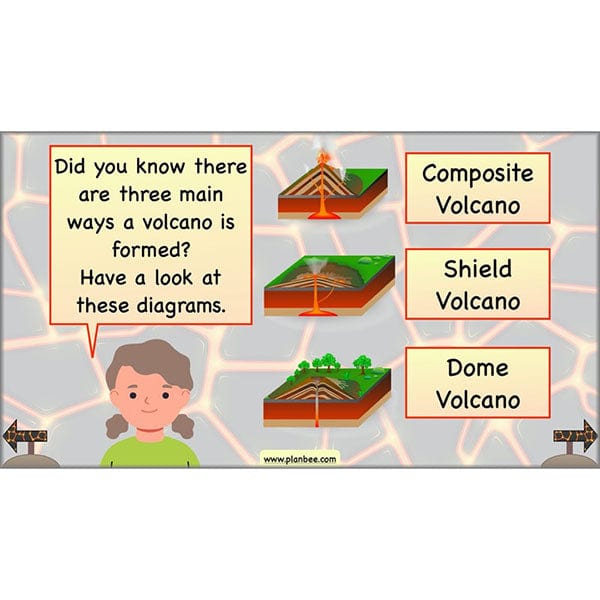
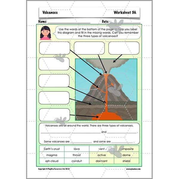
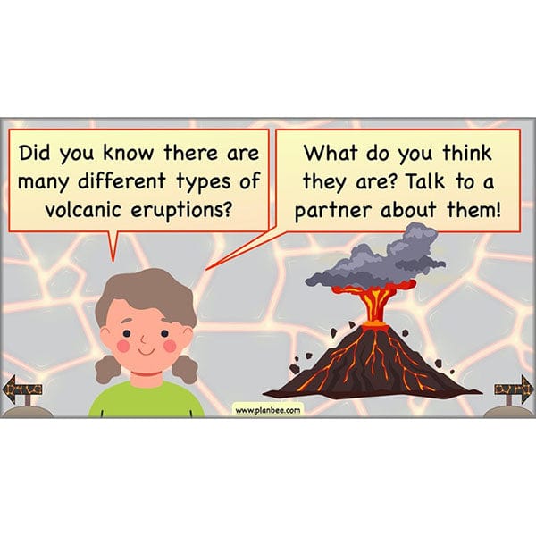
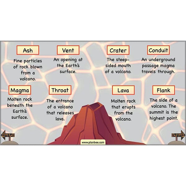
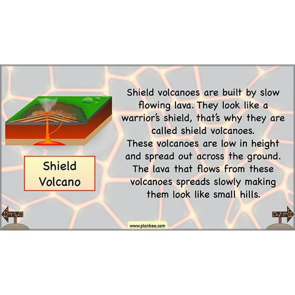
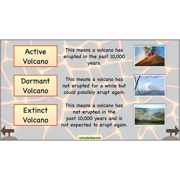
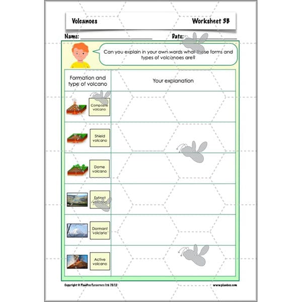
In this lesson your class learn and interpret new vocabulary associated with types of volcanoes. They will learn about the three types of volcanoes (composite, shield and dome), how they are formed and why they are different. Your class will also find out the difference between an extinct, active and dormant volcano and will be able to explain this to others.
This types of volcanoes KS2 downloadable lesson contains planning, a slideshow and teaching resources to help your class learn all about different types of volcanoes.
What's included:
- Lesson plan
- Slides
- Activity ideas
- Differentiated worksheets
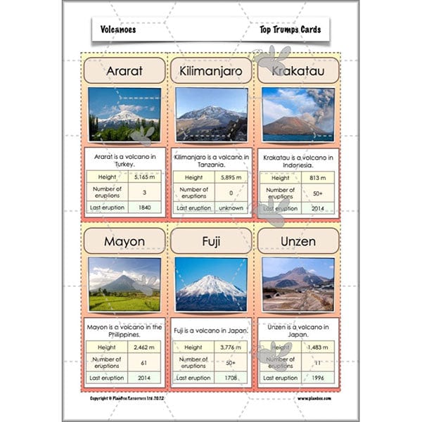
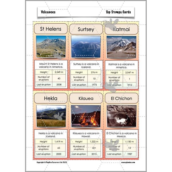
- Top Trumps game
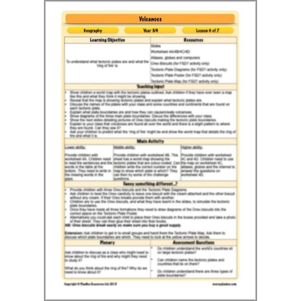
#Lesson4Tectonicplatesandtheringoffire
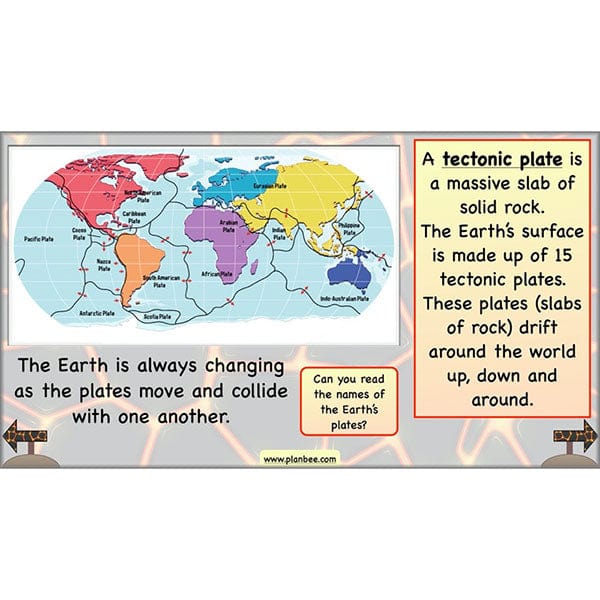
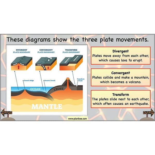
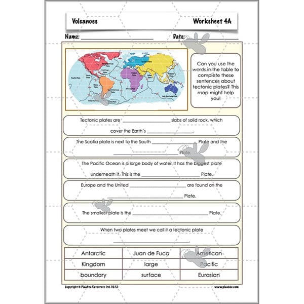
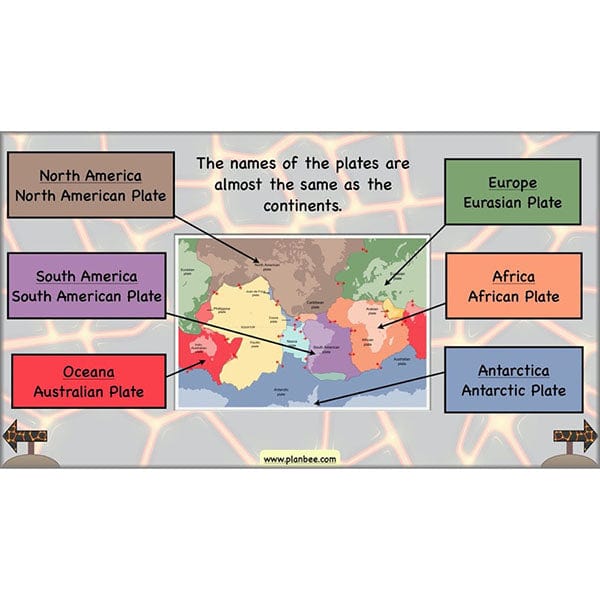
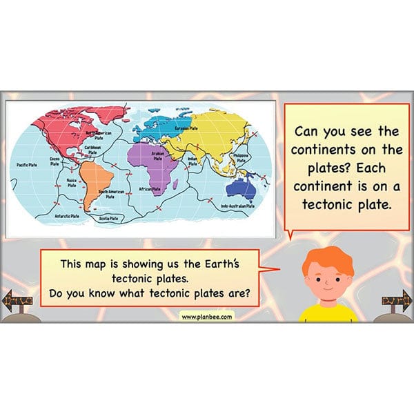
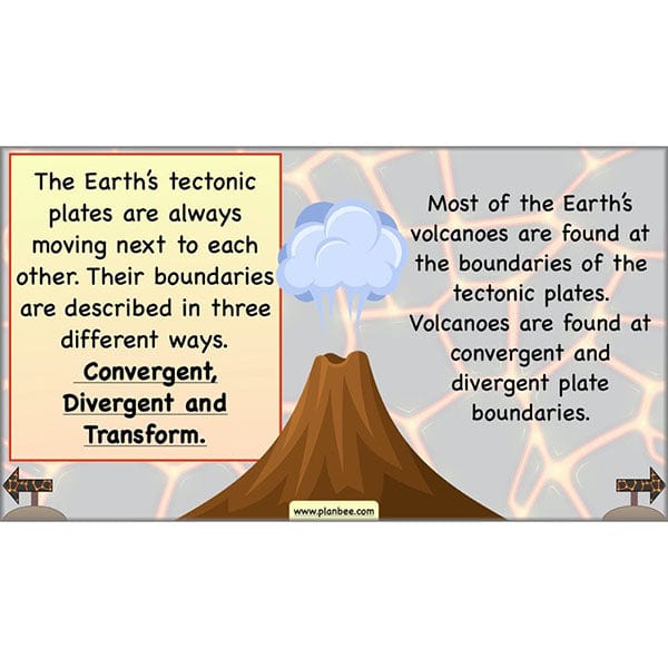
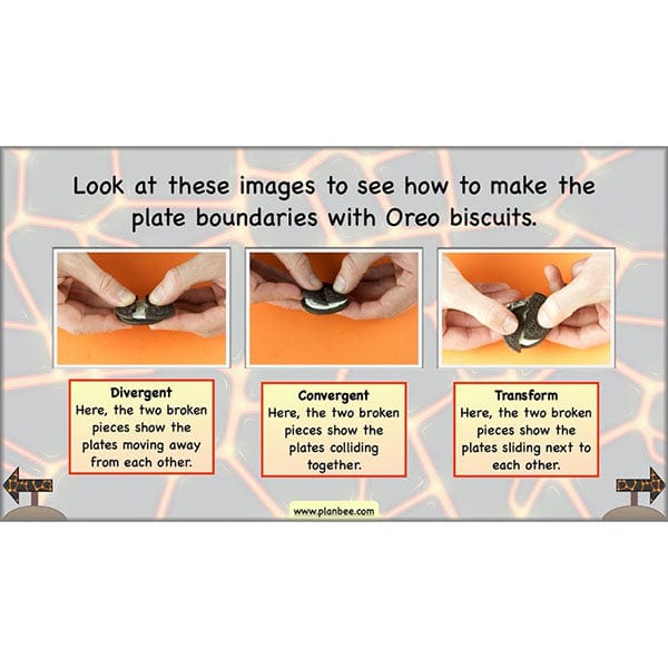
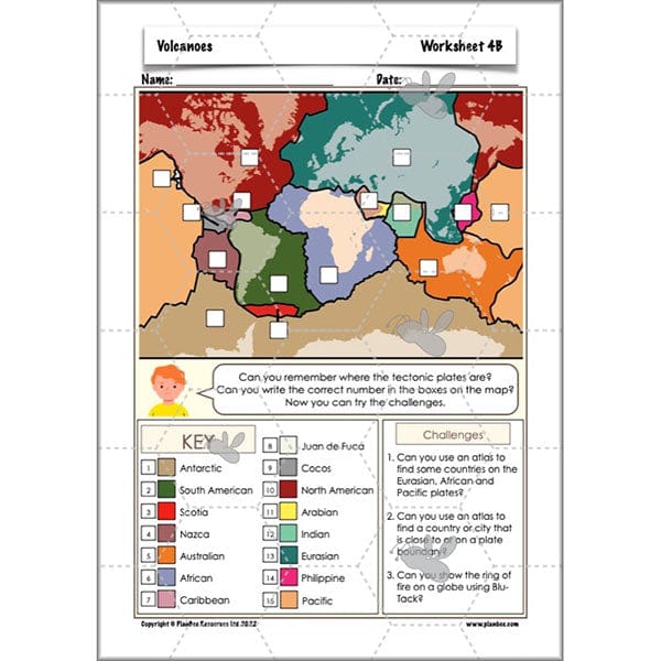
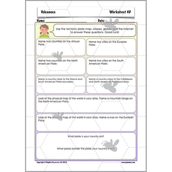
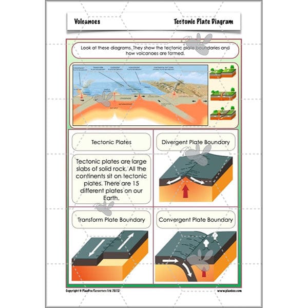
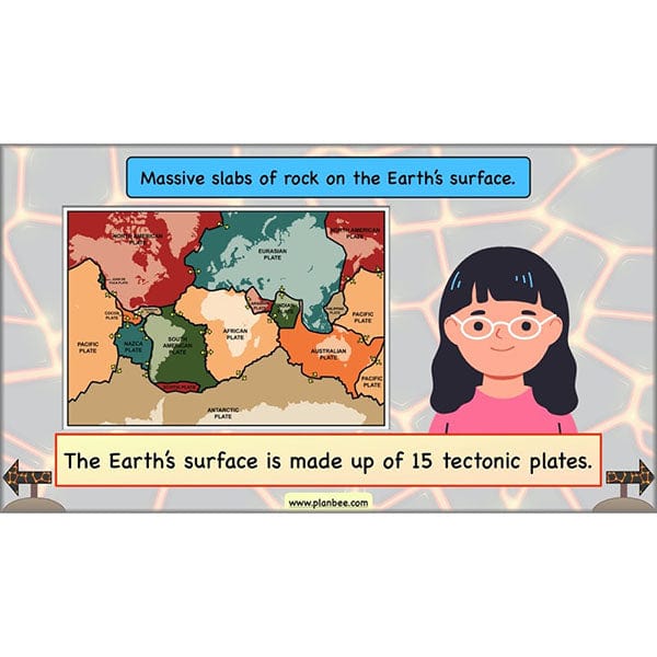
This lesson teaches your class that the Earth's crust is divided into large tectonic plates. Your children will learn about the names of the major plates and that volcanoes and other natural disasters occur at the boundaries of these plates. Using Oreo biscuits, your class will be able to simulate plate boundaries to improve their understanding. You will briefly describe the 'ring of fire' with your class, allowing them to see hot spots for volcanoes on a map.
This downloadable lesson contains a plan, slideshow, worksheets and teaching resources all in a ready-to-teach pack.
What's included:
- Lesson plan
- Slides
- Activity ideas
- Differentiated worksheets
- Tectonic plate diagrams
- Tectonic plate poster
- Tectonic plate map
#Lesson5Lifeinvolcanicareas
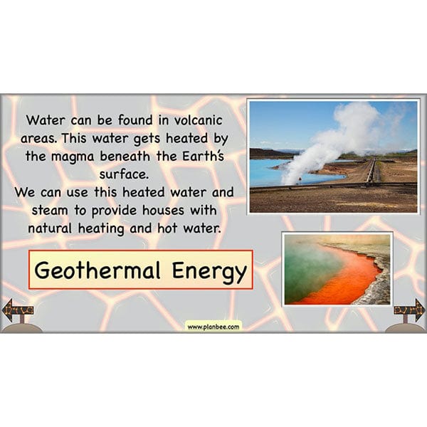
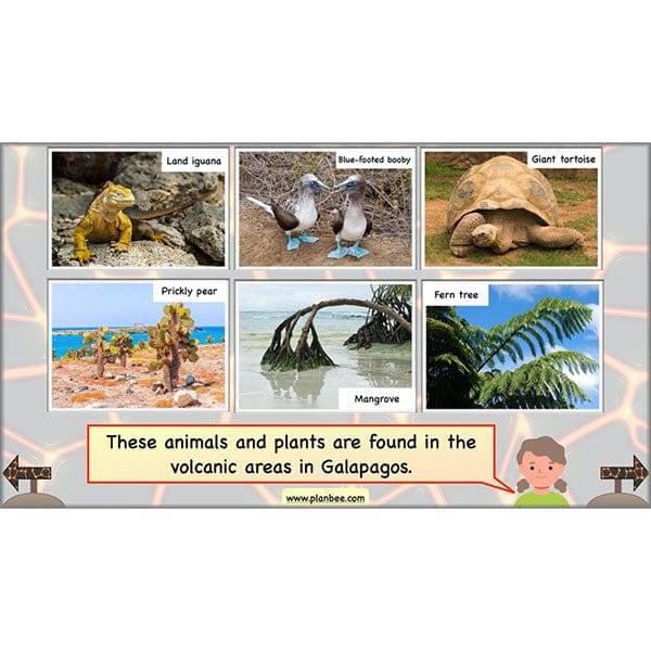
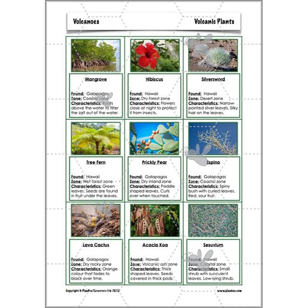
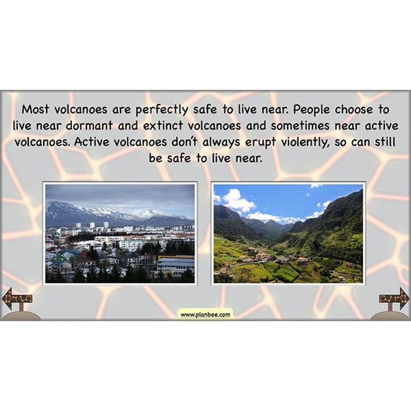
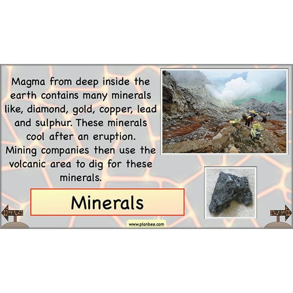
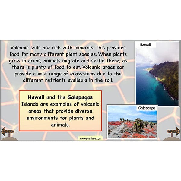
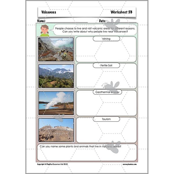
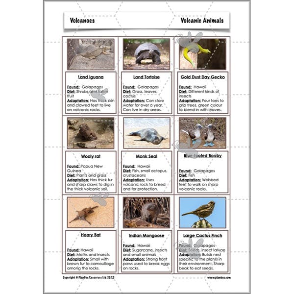
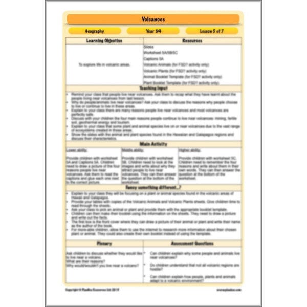
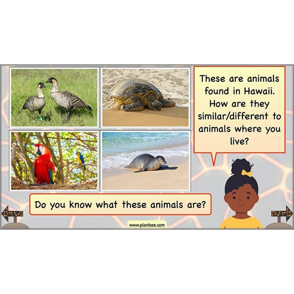
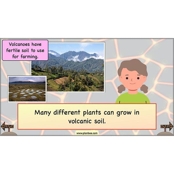
Your class will look closely at the flora and fauna found in Hawaii and the Galapagos Islands in this lesson. They will learn about the different species found in volcanic areas and why they continue to live there. Your class will also learn about the four main reasons people choose to live in volcanic areas, which are; mining, fertile soil for farming, geothermal energy and tourism.
This downloadable lesson contains a plan, slideshow and teaching resources all made by a teacher.
What's included:
- Lesson plan
- Slides
- Activity ideas
- Differentiated worksheets
- Animal and plant picture cards
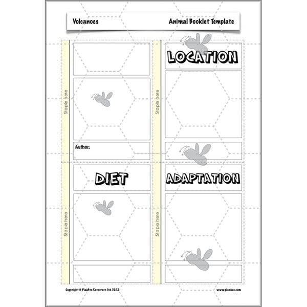
- Booklet templates
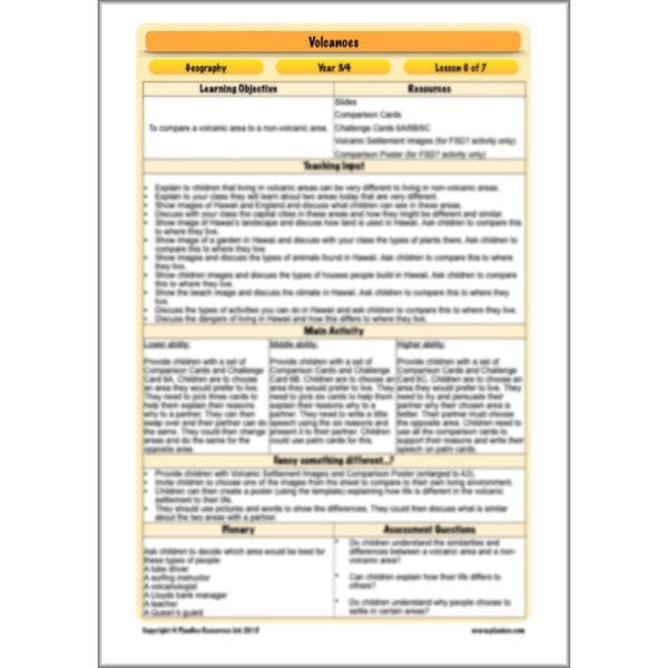
#Lesson6Comparingvolcanicandnonvolcanicareas
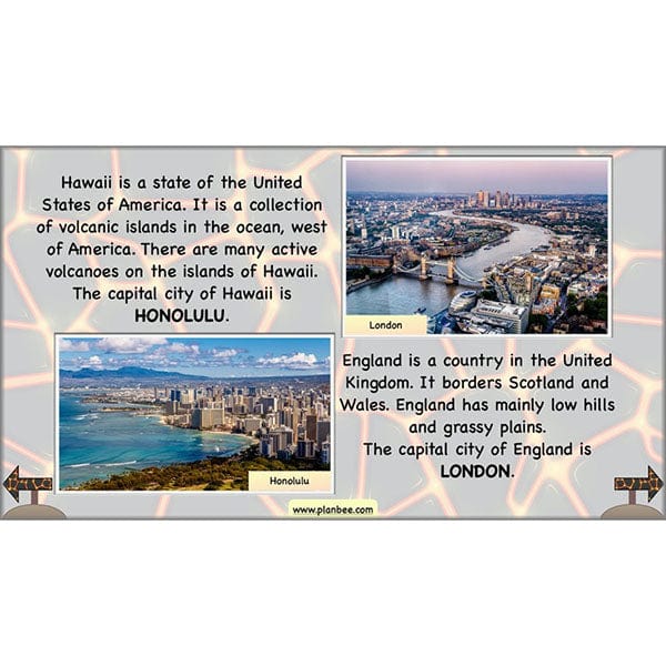
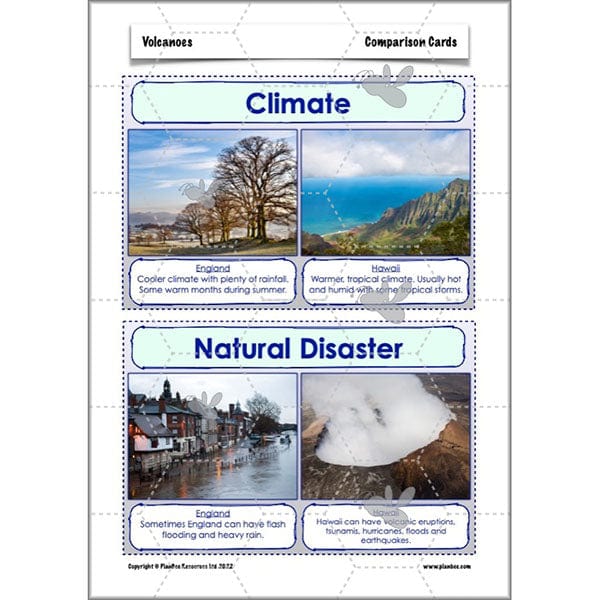
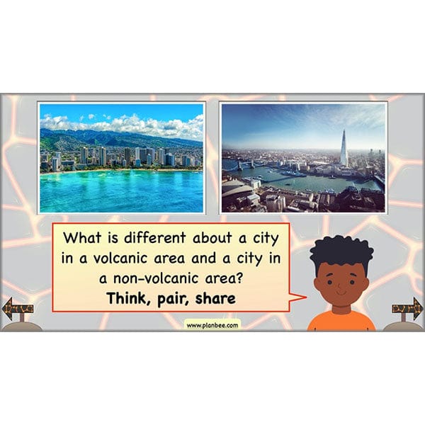
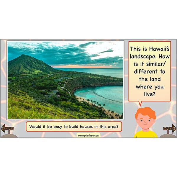
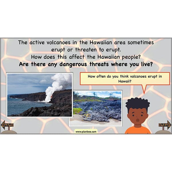
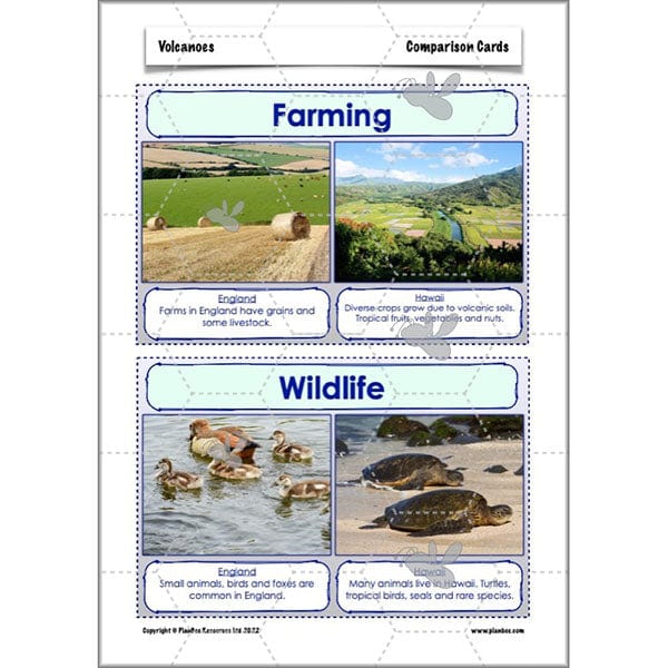
In this lesson, explore life in Hawaii and compare it to the lifestyles of children in your class. Allow your children to think about the similarities and differences between Hawaii's landscape, plants, animals, houses, climate, activities and dangers and their own home town. They will then consider where they would prefer to live.
This ready-to-teach lesson is downloadable and contains a plan, slideshow, worksheets and teaching resources.
What's included:
- Lesson plan
- Slides
- Activity ideas
- Comparison cards
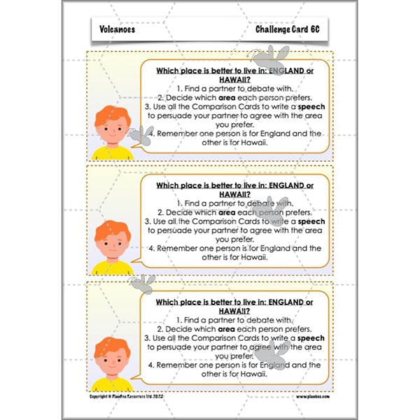
- Challenge cards
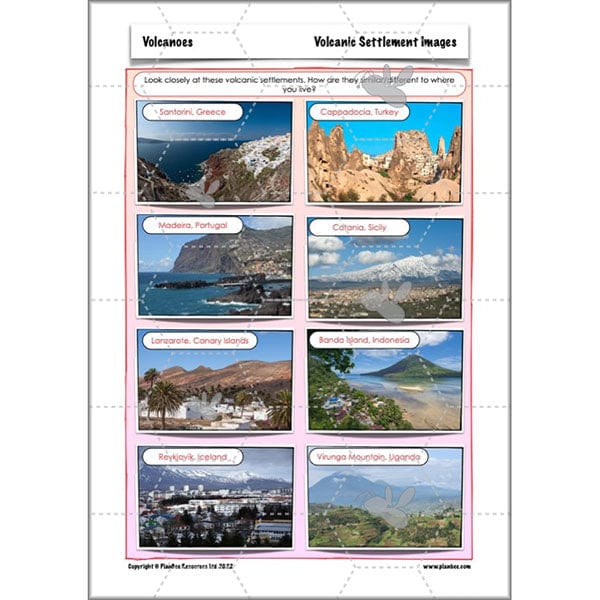
- Volcanic settlement images
- Comparison poster
#Lesson7Showwhatyouknow
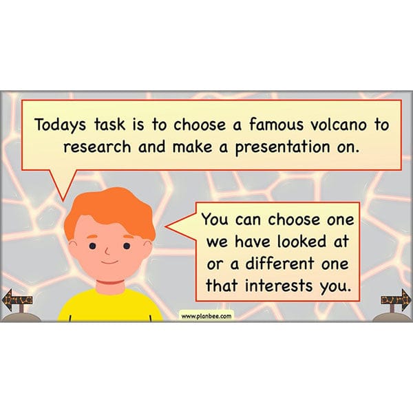
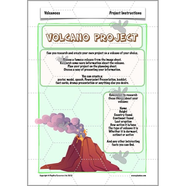
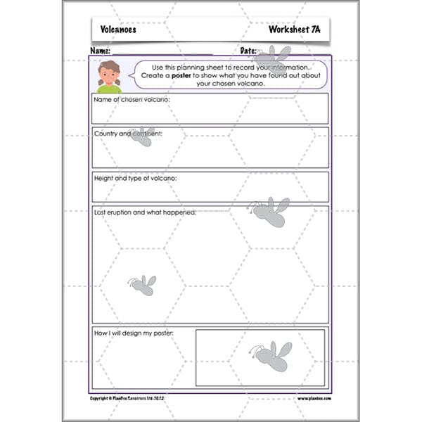
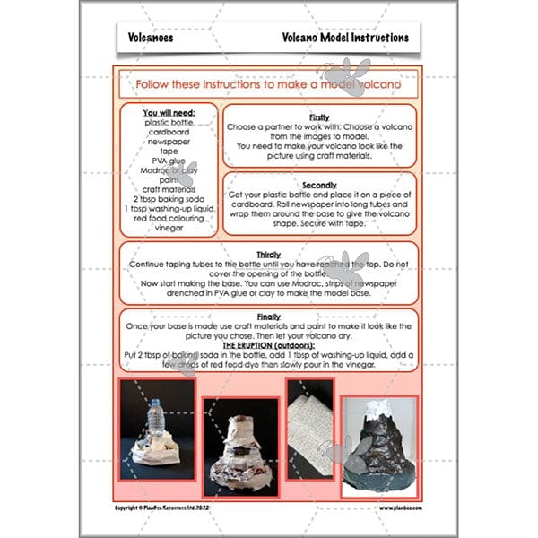
This lesson gives your class the opportunity to bring all their volcano knowledge together and present it in an engaging and creative way. Your children will choose a volcano to investigate and design a presentation on it. There is also the opportunity for children to create a model volcano and cause their own eruptions!
This downloadable lesson is packed full of resources. Scroll through the images to learn more!
What's included:
- Lesson plan
- Slides
- Activity ideas
- Differentiated worksheets
- Project instruction cards
- Volcanic model instructions
- Image cards
Free Overview (Medium-Term Plan)
Download a free overview to support your teaching of this scheme of work.
Free Assessment Grid
Download a free, editable assessment grid to support your teaching of this scheme of work.
Curriculum Objectives covered
- KS2 - identify the position and significance of latitude, longitude, Equator, Northern Hemisphere, Southern Hemisphere, the Tropics of Cancer and Capricorn, Arctic and Antarctic Circle, the Prime/Greenwich Meridian and time zones (including day and night)
- KS2 - understand geographical similarities and differences through the study of human and physical geography of a region of the United Kingdom, a region in a European country, and a region within North or South America
- KS2 - describe and understand key aspects of physical geography, including: climate zones, biomes and vegetation belts, rivers, mountains, volcanoes and earthquakes, and the water cycle
- KS2 - describe and understand key aspects of human geography, including: types of settlement and land use, economic activity including trade links, and the distribution of natural resources including energy, food, minerals and water
- KS2 - use maps, atlases, globes and digital/computer mapping to locate countries and describe features studied
