#TheCompleteSeries6lessons
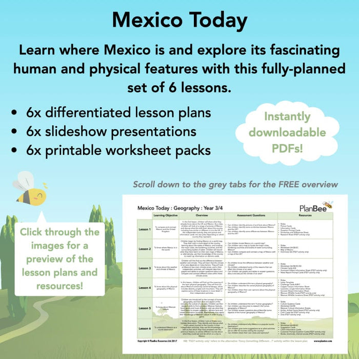
Children will compare and contrast Mexico and the UK, and then find out more about both the physical and human geography of the country, including the climate. They will immerse themselves in the culture of Mexico, and then advise tourists on how best to experience the country.
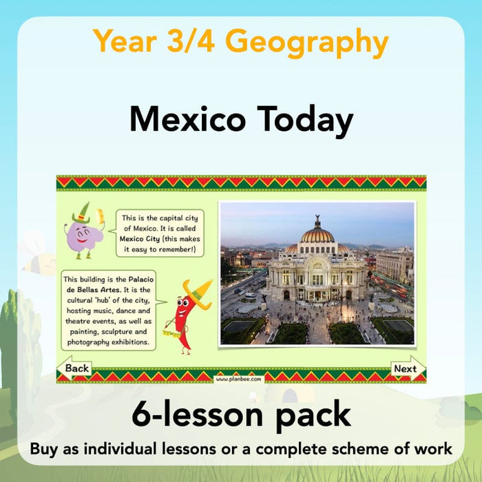
This downloadable ready-to-teach Geography lesson pack contains lesson plans, slideshow presentations and printable teaching resources.
#Lesson1ComparingMexicototheUK
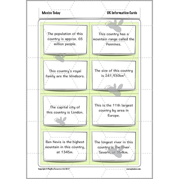
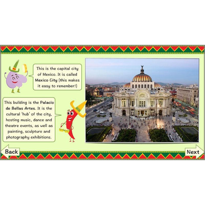
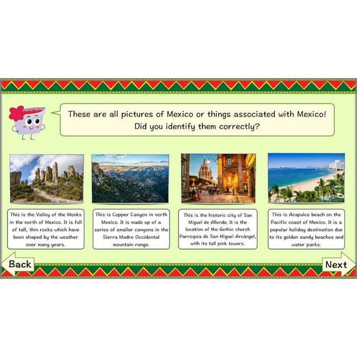
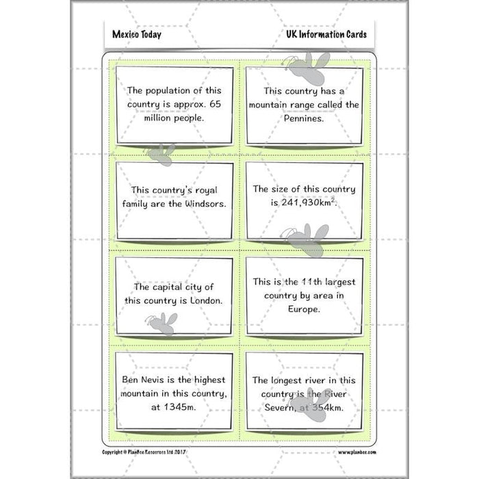
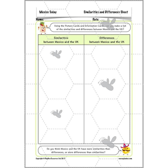
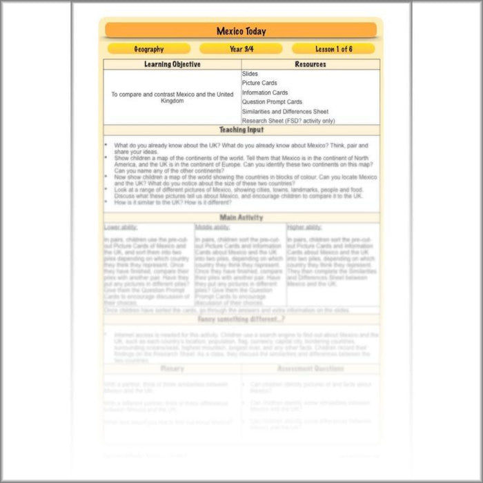
How is Mexico similar or different to the UK? In this first lesson, children will begin by sharing what they already know about the two countries. As a class, they then look at a range of pictures of Mexico, and discuss what this tells them about the country, including how similar or different it is to the UK. In their independent activities, children sort picture and information cards into two piles depending on which country they think they represent and explain their reasoning.
What's included:
- Lesson plan
- Slides
- Activity ideas
- Picture Cards
- Information Cards
- Question Prompt Cards
- Similarities and Differences Sheet
- Research Sheet
#Lesson2WhereintheworldisMexico
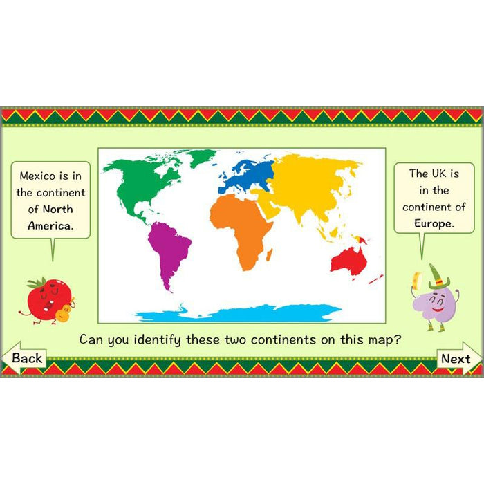
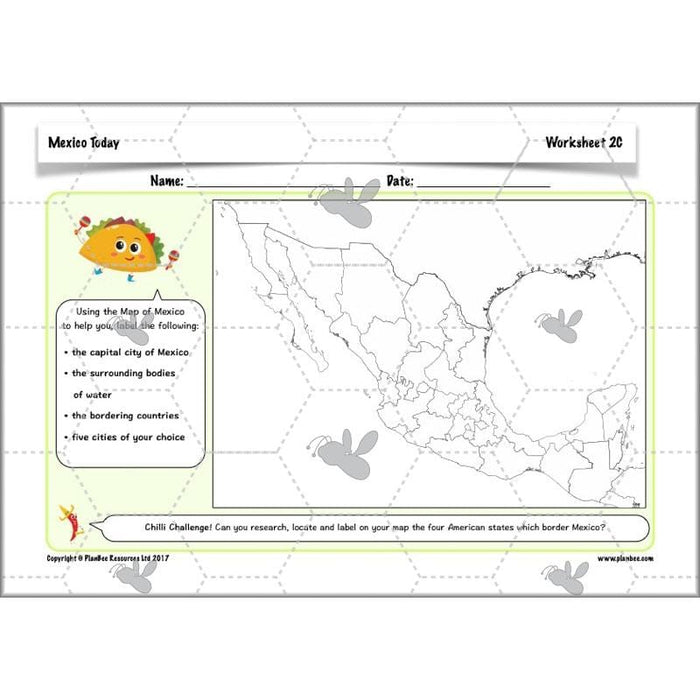
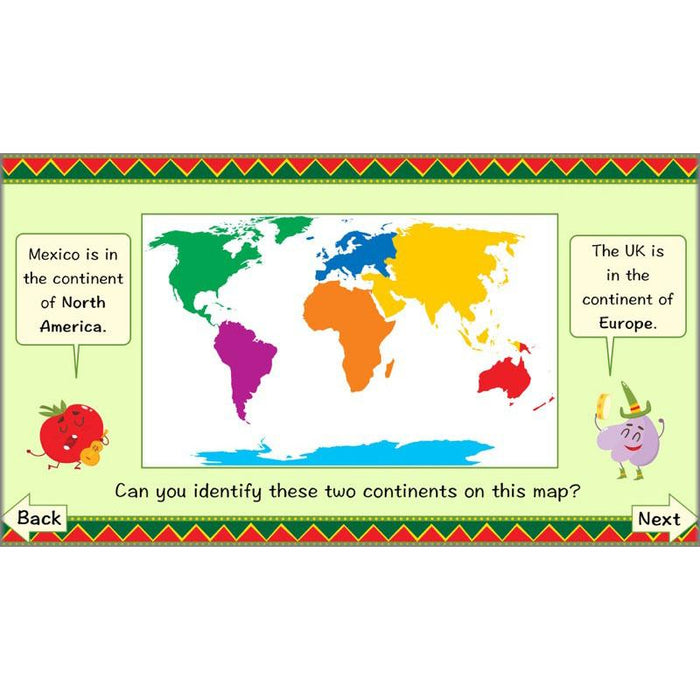
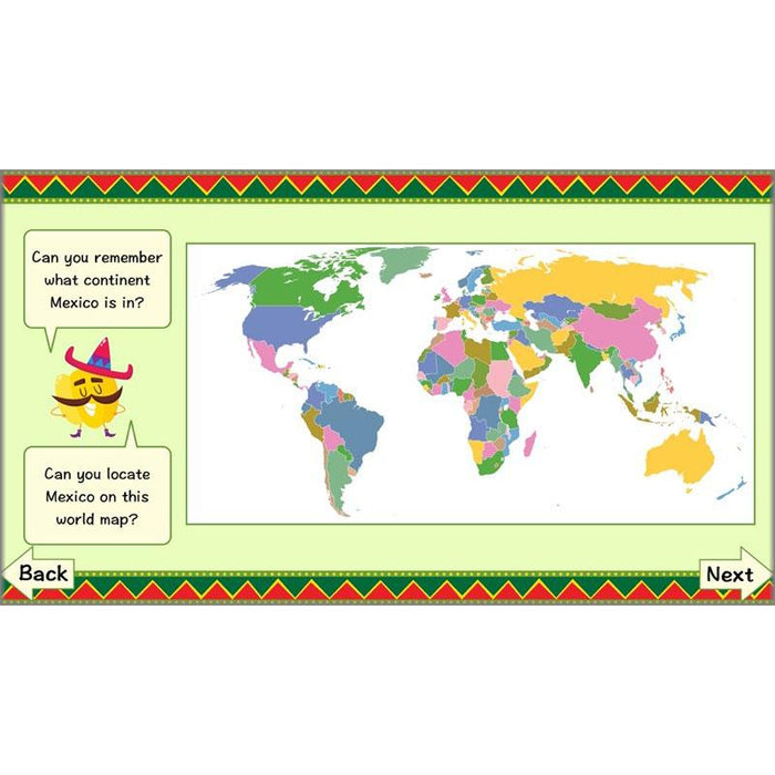
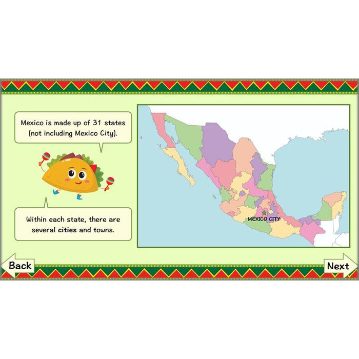
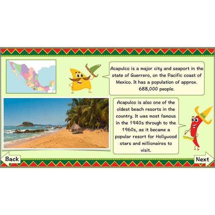
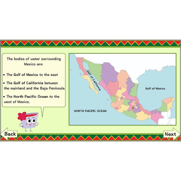
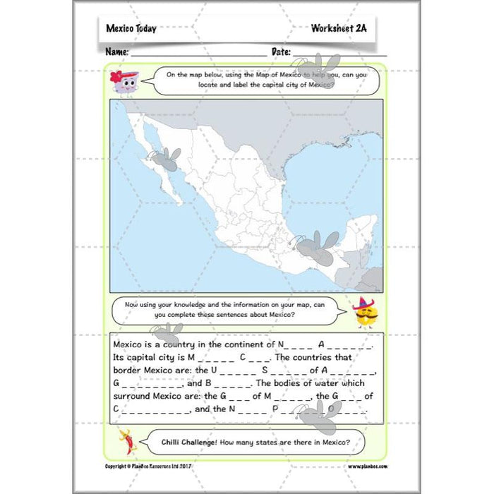
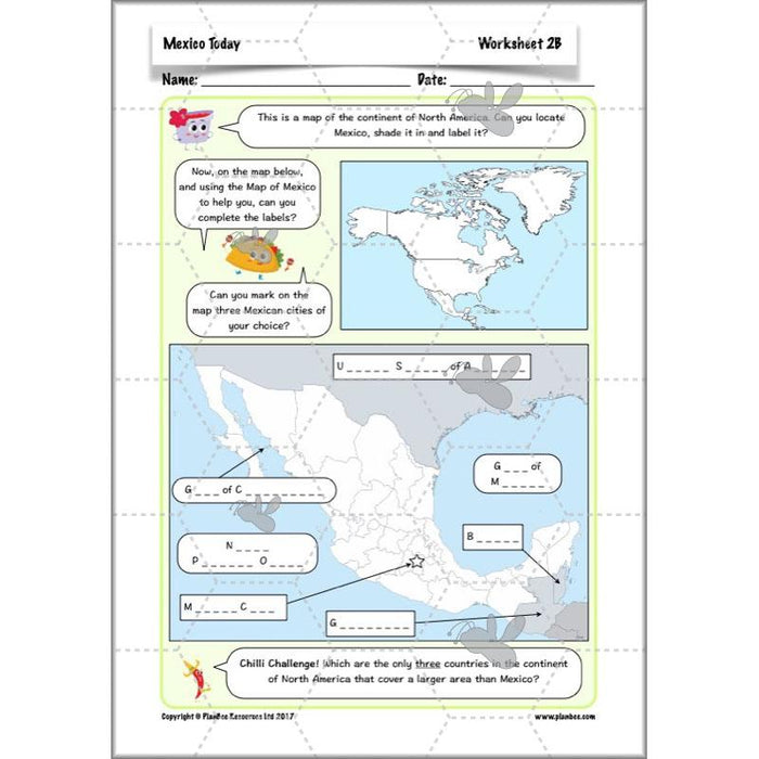
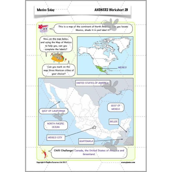
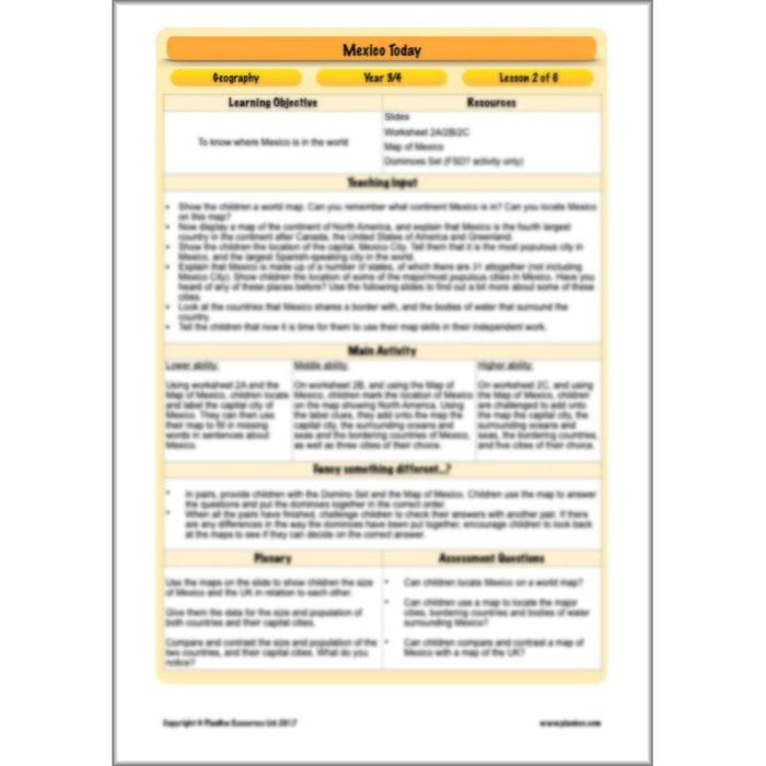
Where in the world is Mexico? Children begin this lesson by finding the country on a world map. As a class, they will then look in more detail at the country, learning about the main regions of Mexico, and locating the major cities, the bordering countries, and the surrounding bodies of water. In their independent activities, children record what they have learnt on their own maps of Mexico, or in the alternate activity, use their knowledge of the country to match up information on domino cards.
What's included:
- Lesson plan
- Slides
- Activity ideas
- Differentiated worksheets
- Mexico Labels
- Map of Mexico
- Dominoes Sets
#Lesson3WeatherandClimate
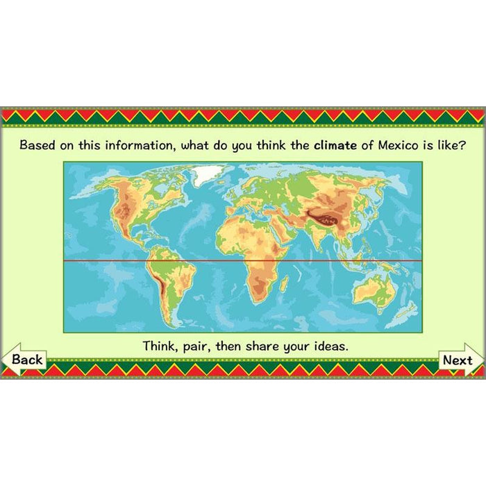
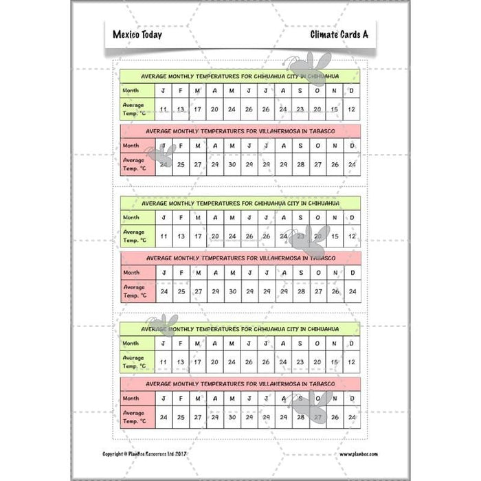
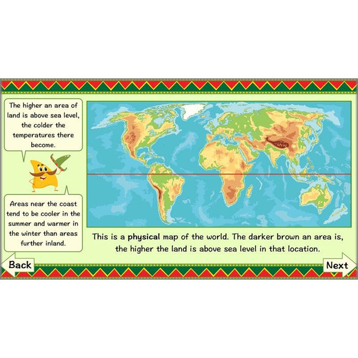
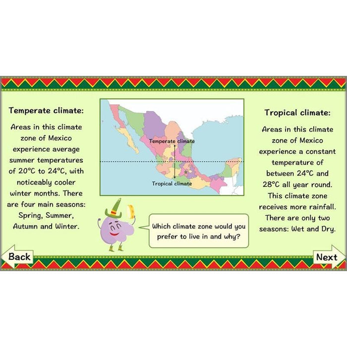
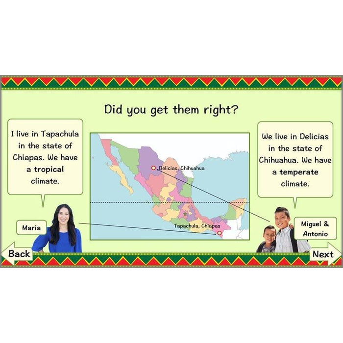
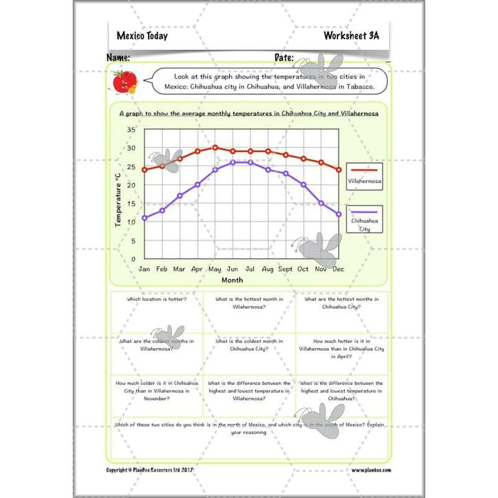
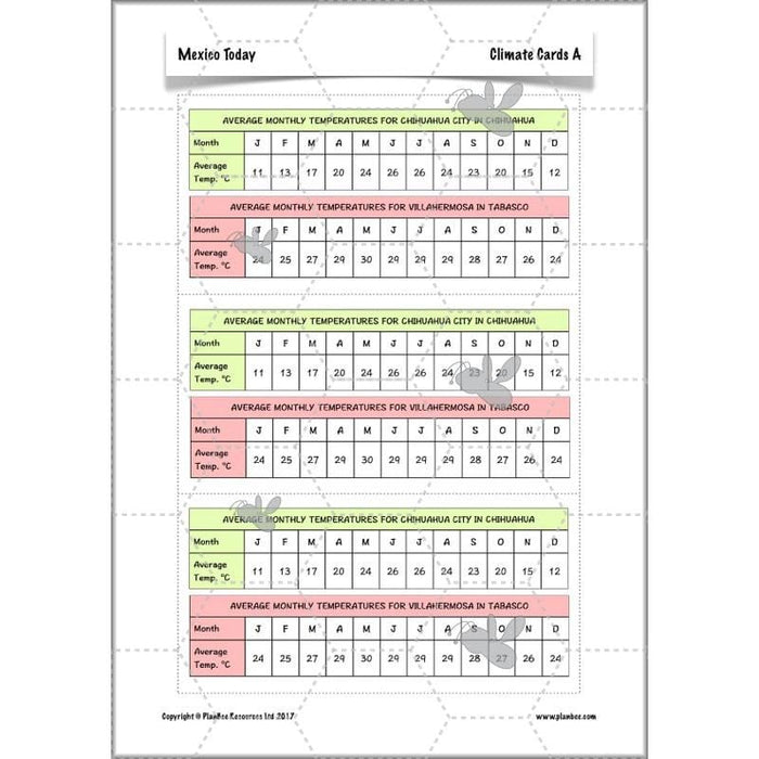
What is the weather like in Mexico? Children first discuss the difference between weather and climate. They then look at the many different factors that affect what the climate of an area is like. Children find out about Mexico’s two main climate zones, and in their independent activities, interpret data from graphs and tables in order to answer questions about, and compare and contrast, different cities within these climate zones.
What's included:
- Lesson plan
- Slides
- Activity ideas
- Differentiated worksheets
- Climate Cards
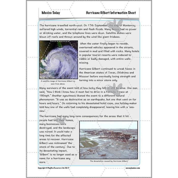
- Hurricane Gilbert Information Sheet
- News Report Prompt cards
#Lesson4PhysicalGeography
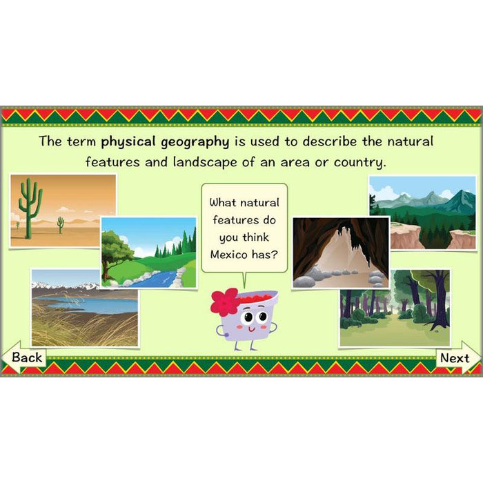
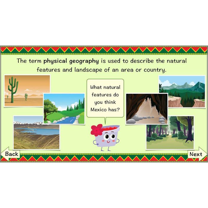
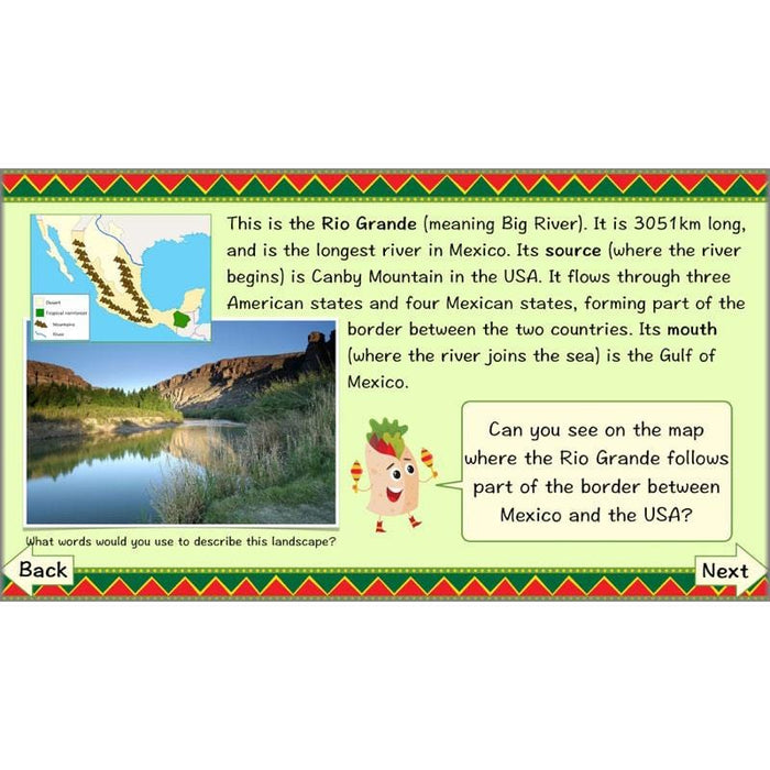
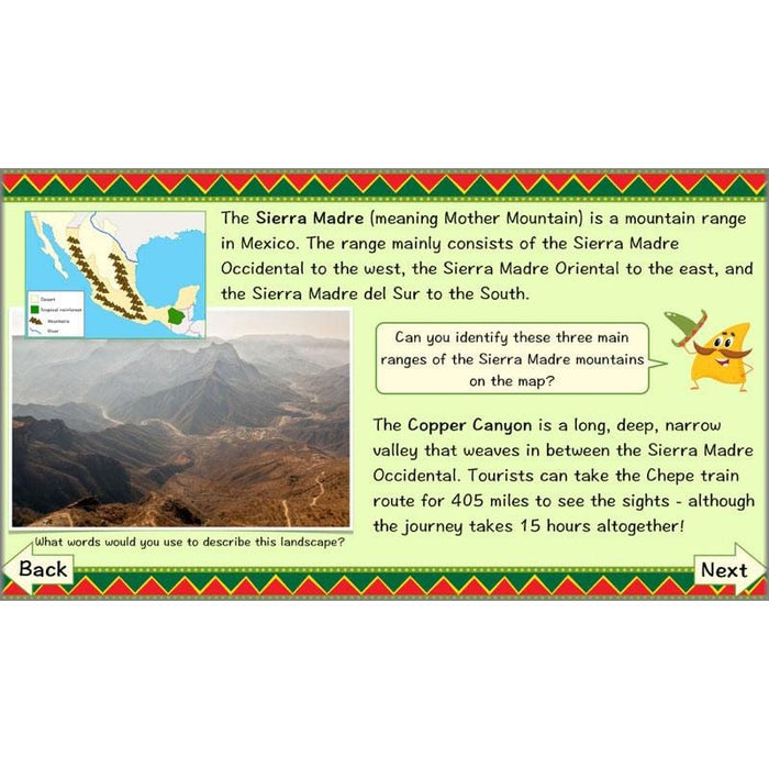
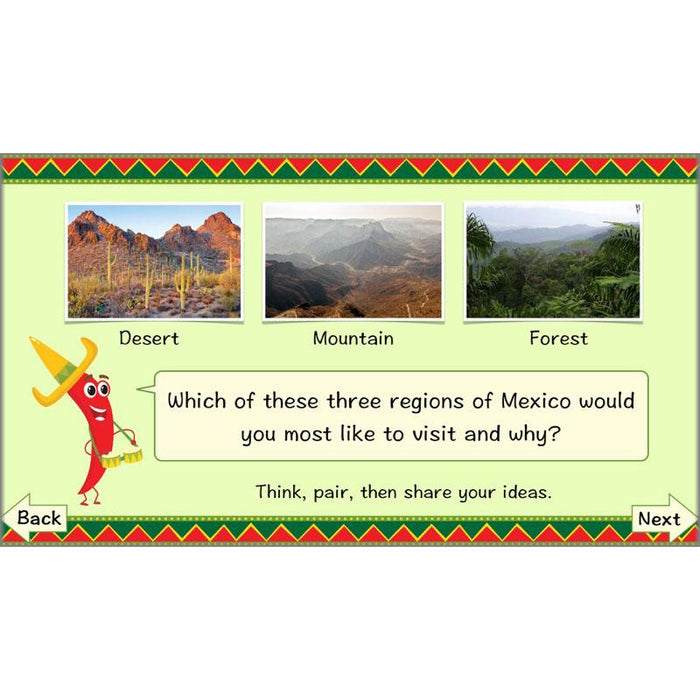
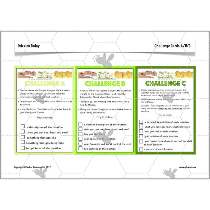
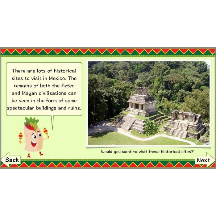
What is the physical geography of Mexico like? In this lesson, children will find out both the meaning of the term physical geography, as well as learning about Mexico’s extremely varied landscape, which includes deserts, jungles and mountains. They will explore these locations in more detail in their independent activities.
What's included:
- Lesson plan
- Slides
- Activity ideas
- Letter Template
- Challenge Cards
- Information Sheets
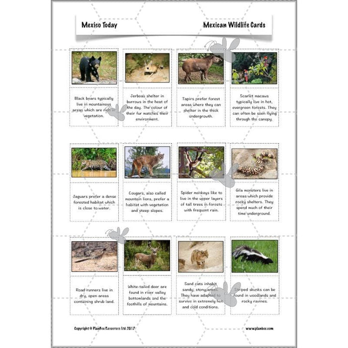
- Mexican Wildlife Cards
- Mexican Wildlife Locations Sheet
#Lesson5MexicanCulture
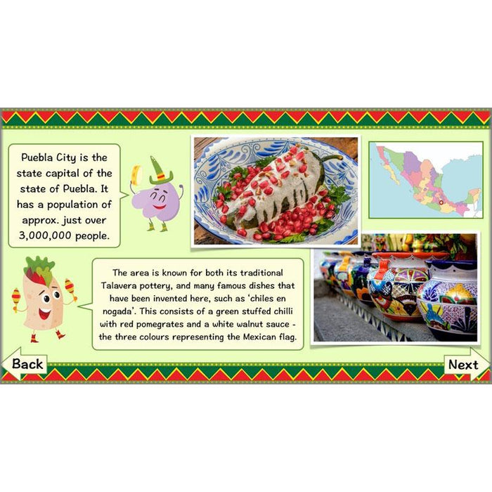
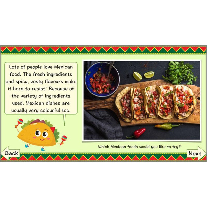
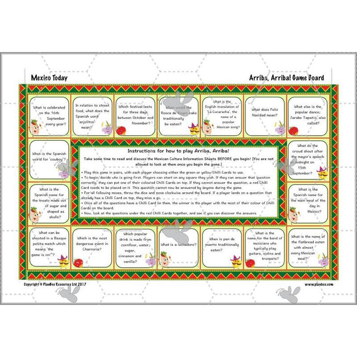
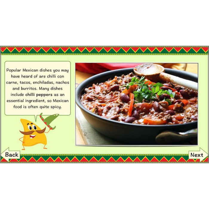
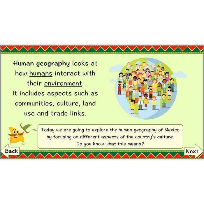
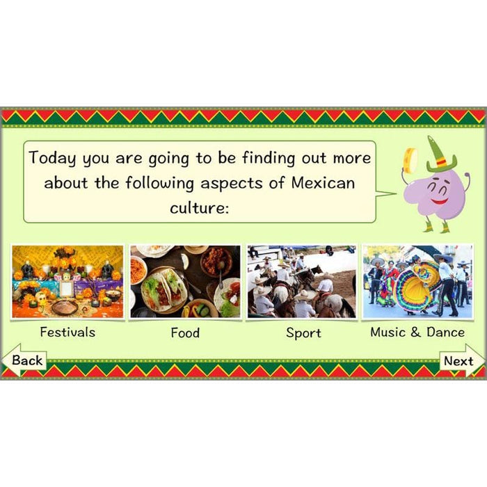
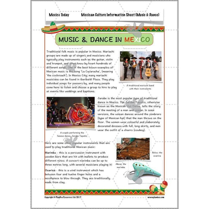
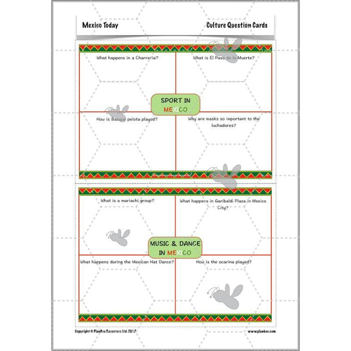
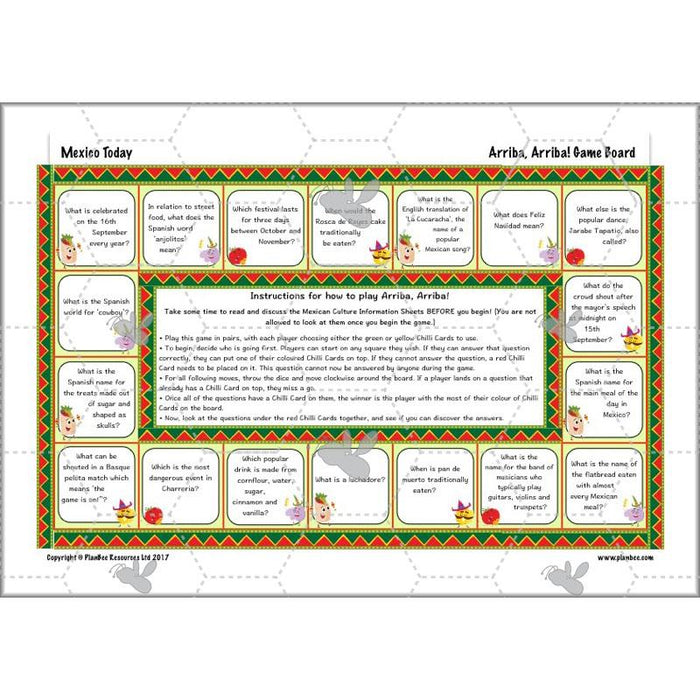
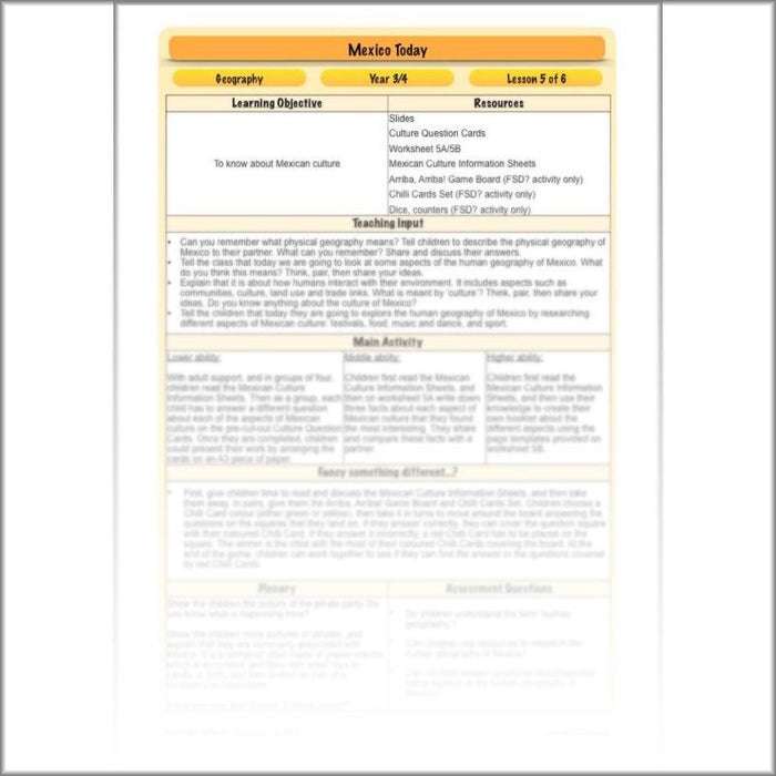
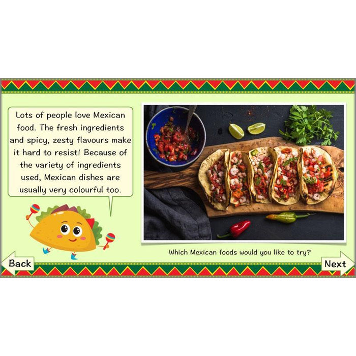
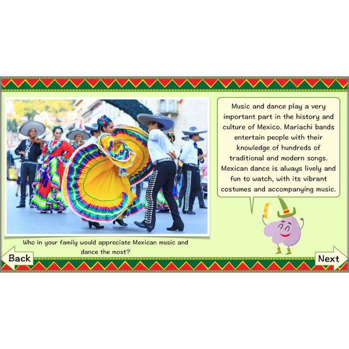
What is the culture of Mexico like? Children are first introduced to the concept of human geography, and learn that one aspect of this concerns the culture of a society. In their independent activities, children use their research skills to find out about Mexican festivals, food, sports and music & dance, and use what they have learnt to answer questions, retrieve facts or create information booklets. Alternatively, they apply their knowledge of Mexican culture in order to play a game.
What's included:
- Lesson plan
- Slides
- Activity ideas
- Differentiated worksheets
- Mexican Culture Information Sheets
- Arriba, Arriba! Board Game
- Chilli Cards Set
#Lesson6TouristDestination
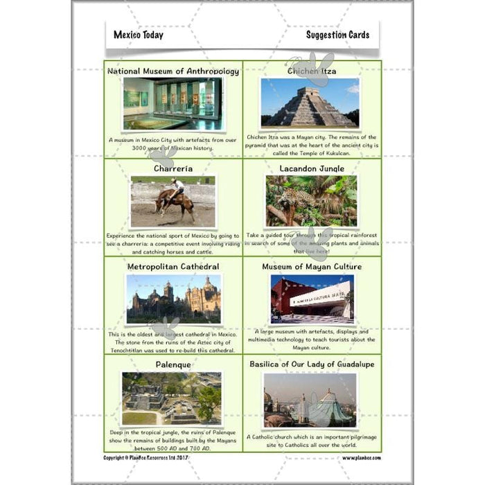
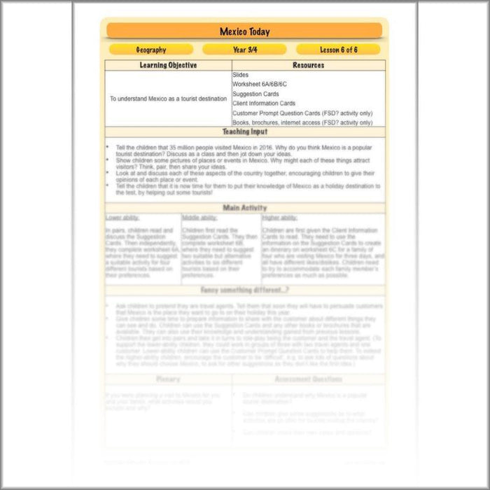
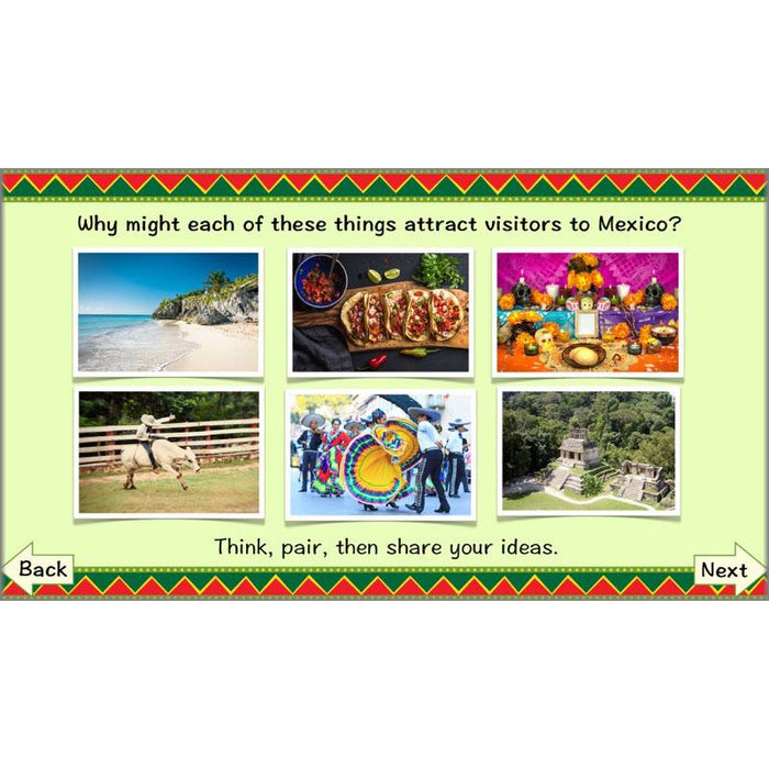
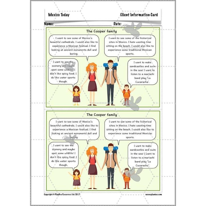
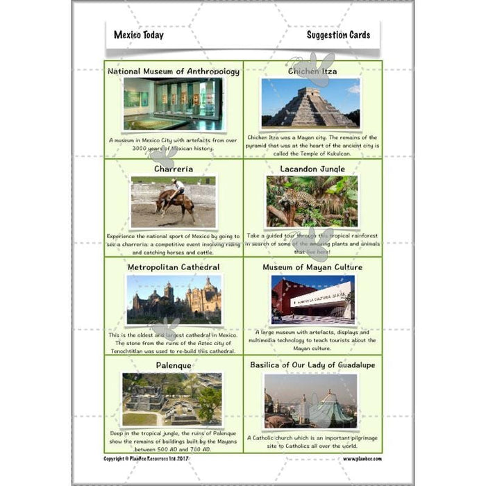
Why do people visit Mexico? In this final lesson, children look at Mexico as a holiday destination. They identify and discuss what might attract tourists to the country. In their independent activities, they use this knowledge, as well as that which they have amassed over the previous lessons, to advise different tourists about what they could see and do whilst on a trip to Mexico.
What's included:
- Lesson plan
- Slides
- Activity ideas
- Differentiated worksheets
- Suggestion Cards
- Client Information Cards
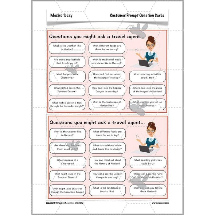
- Customer Prompt Question Cards
Free Overview (Medium-Term Plan)
Download a free overview to support your teaching of this scheme of work.
Free Assessment Grid
Download a free, editable assessment grid to support your teaching of this scheme of work.
Curriculum Objectives covered
- KS2 - locate the world’s countries, using maps to focus on Europe (including the location of Russia) and North and South America, concentrating on their environmental regions, key physical and human characteristics, countries, and major cities
- KS2 - understand geographical similarities and differences through the study of human and physical geography of a region of the United Kingdom, a region in a European country, and a region within North or South America
- KS2 - describe and understand key aspects of physical geography, including: climate zones, biomes and vegetation belts, rivers, mountains, volcanoes and earthquakes, and the water cycle
- KS2 - describe and understand key aspects of human geography, including: types of settlement and land use, economic activity including trade links, and the distribution of natural resources including energy, food, minerals and water
- KS2 - use maps, atlases, globes and digital/computer mapping to locate countries and describe features studied
