#TheCompleteSeries7lessons
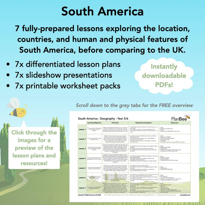
The lessons will lead your class on a voyage of discovery to South America as they learn about the countries, culture and geography of this fascinating continent. They will learn about the climate, the geographical features, the industries and the people of South America through a range of fun activities, giving them an insight into how life in South America is different to life here in the UK.
#Lesson1Countries
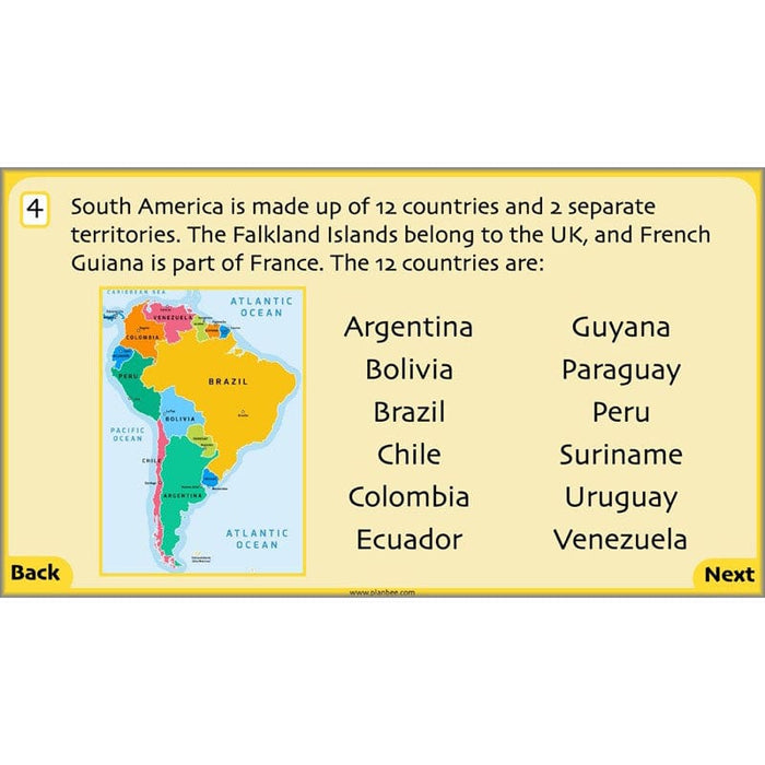
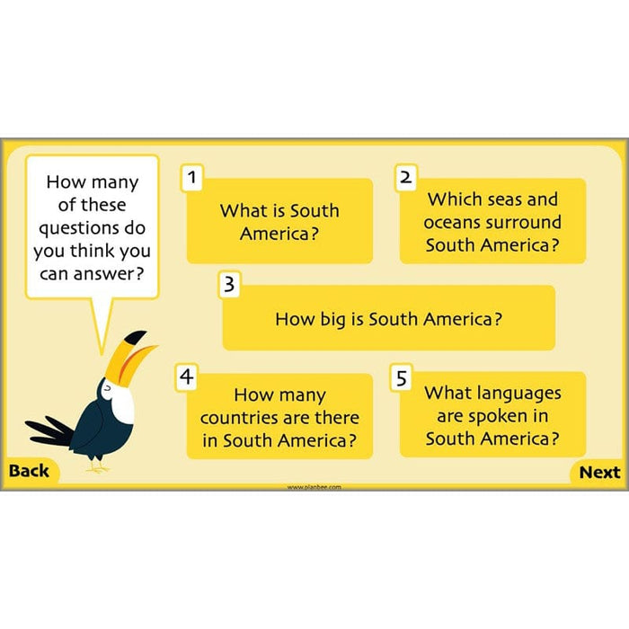
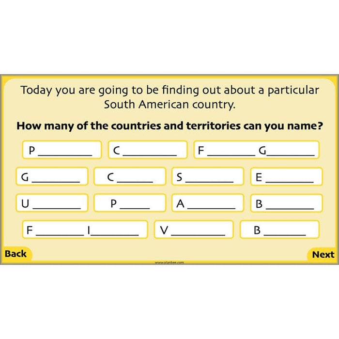
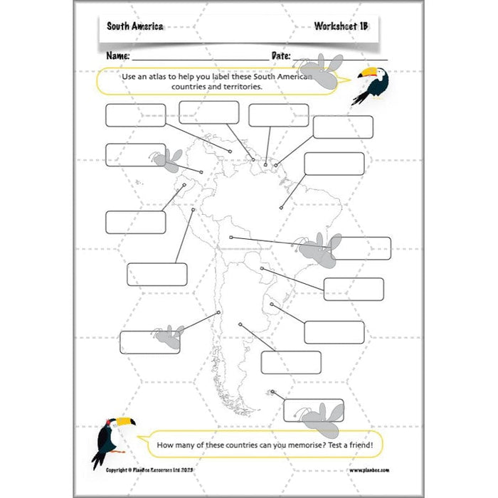
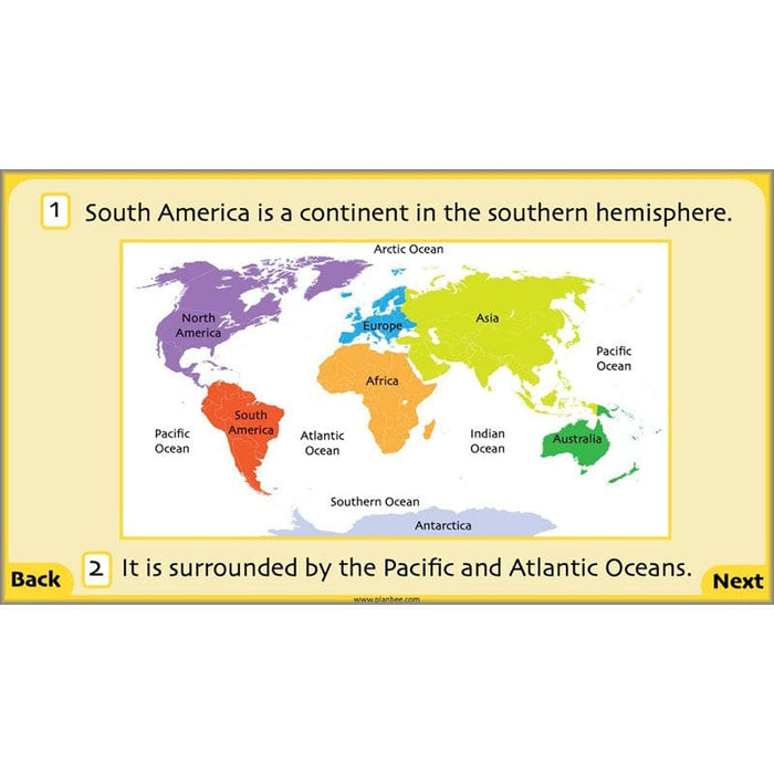
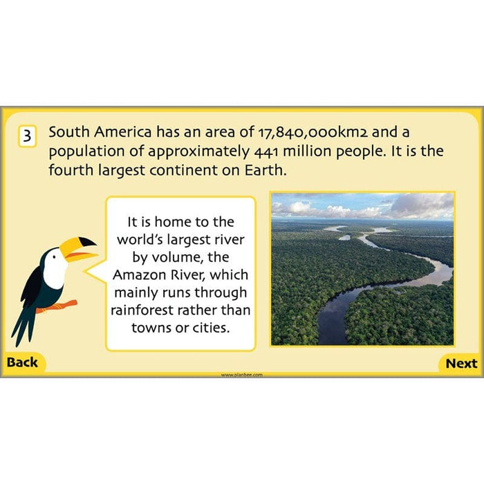
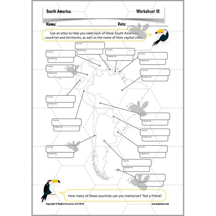
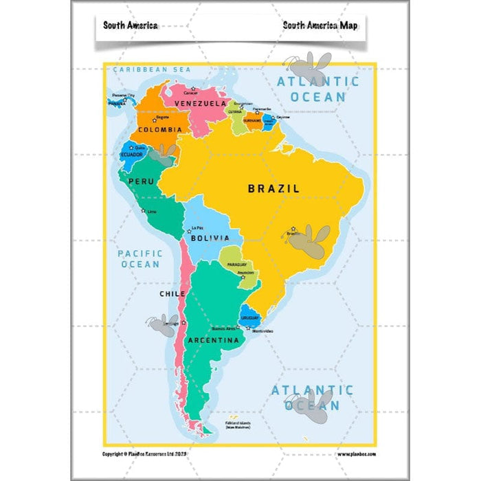
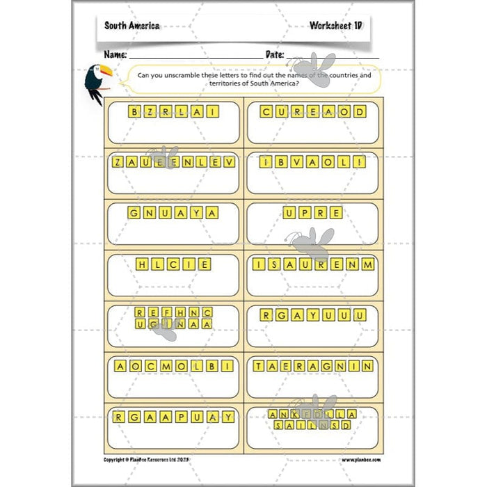
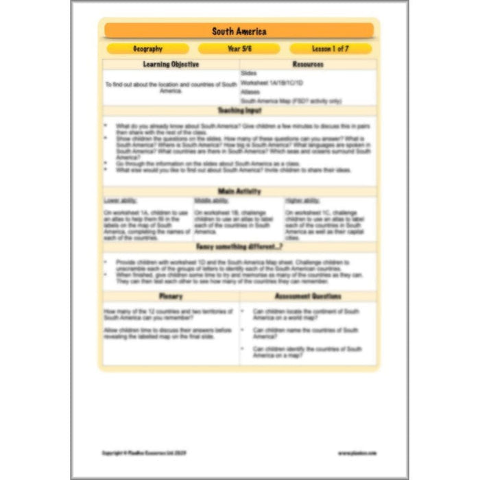
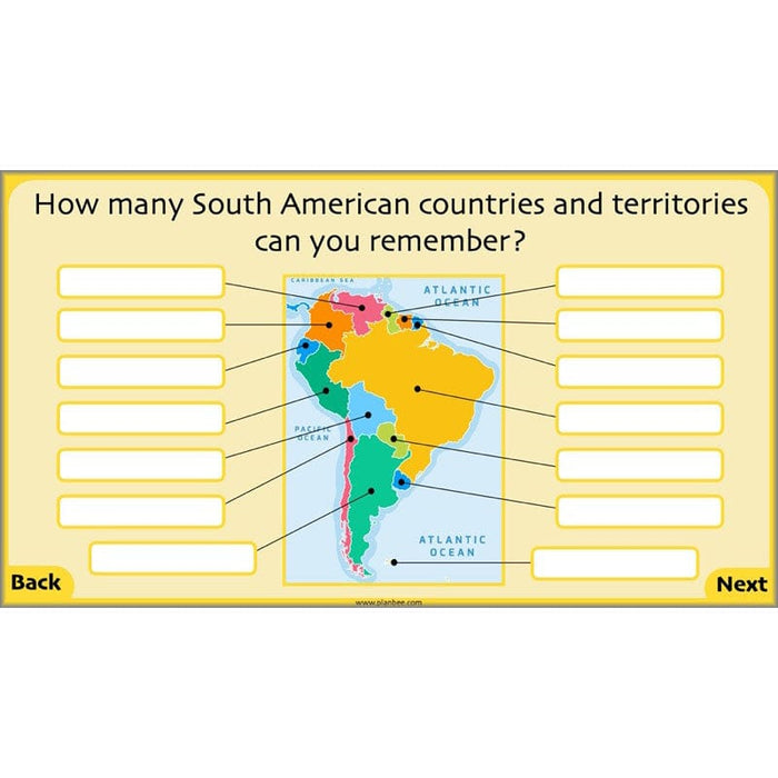
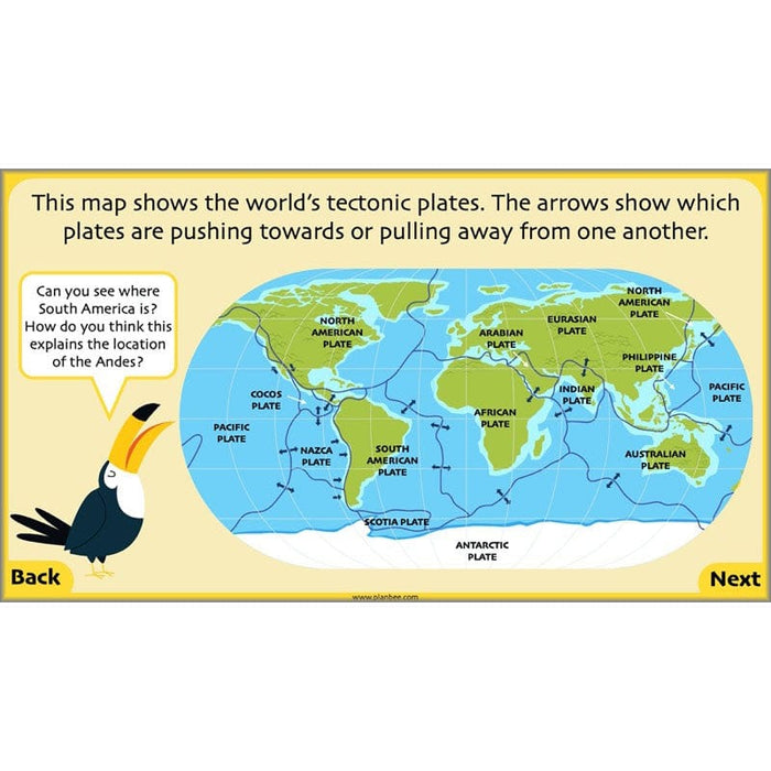
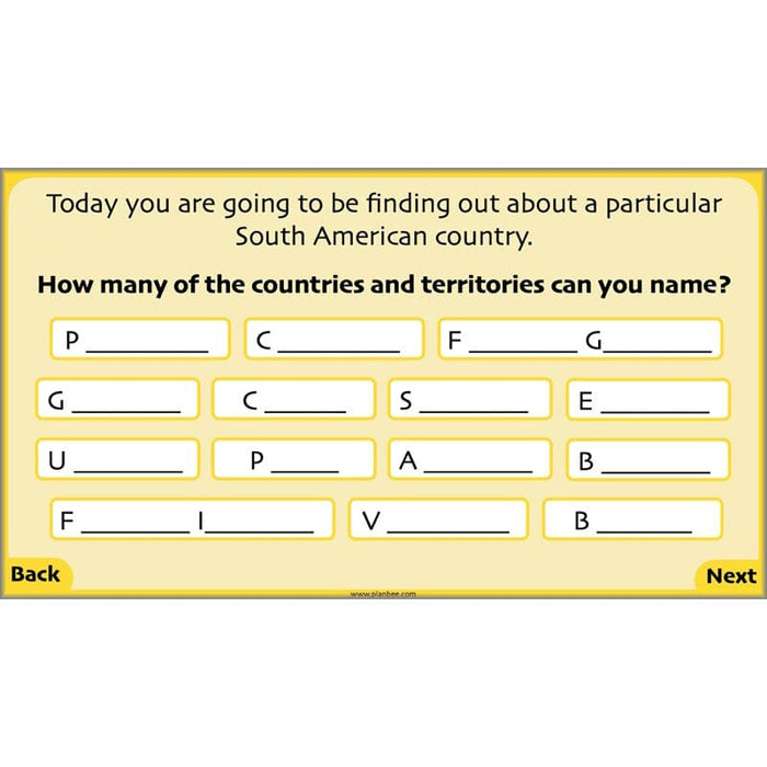
The first lesson on Countries in South America starts by asking your KS2 class what they already know about South America. They will then identify South America on a world map and find out about the twelve countries and two territories that make up the fourth largest continent in the world.
This downloadable lesson contains a lesson plan, slideshow presentation and printable teaching resources.
What's included:
- Lesson plan
- Slides
- Activity ideas
- Differentiated worksheets
- South America map
#Lesson2Climate
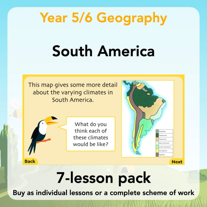
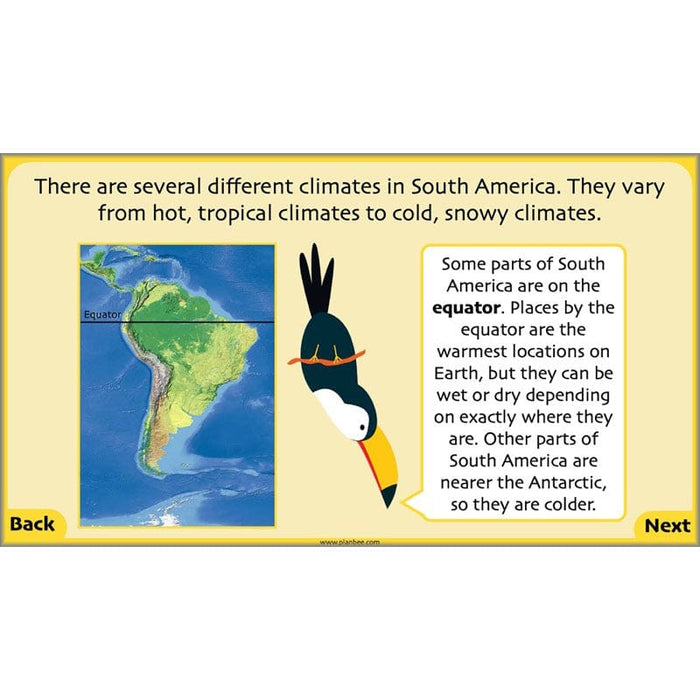
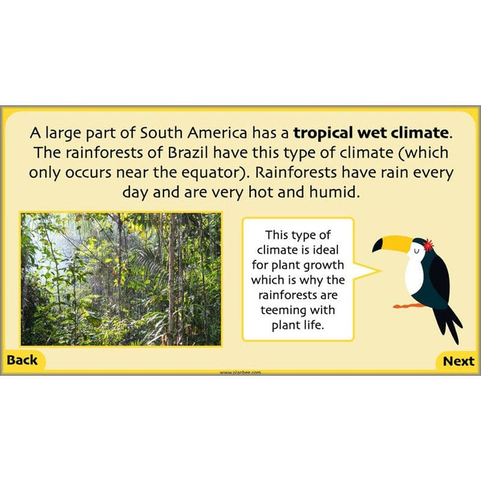
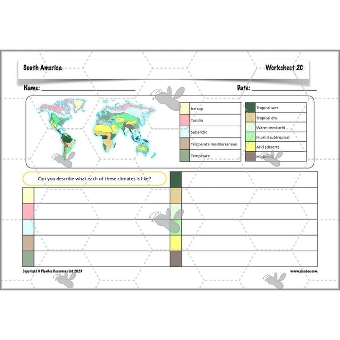
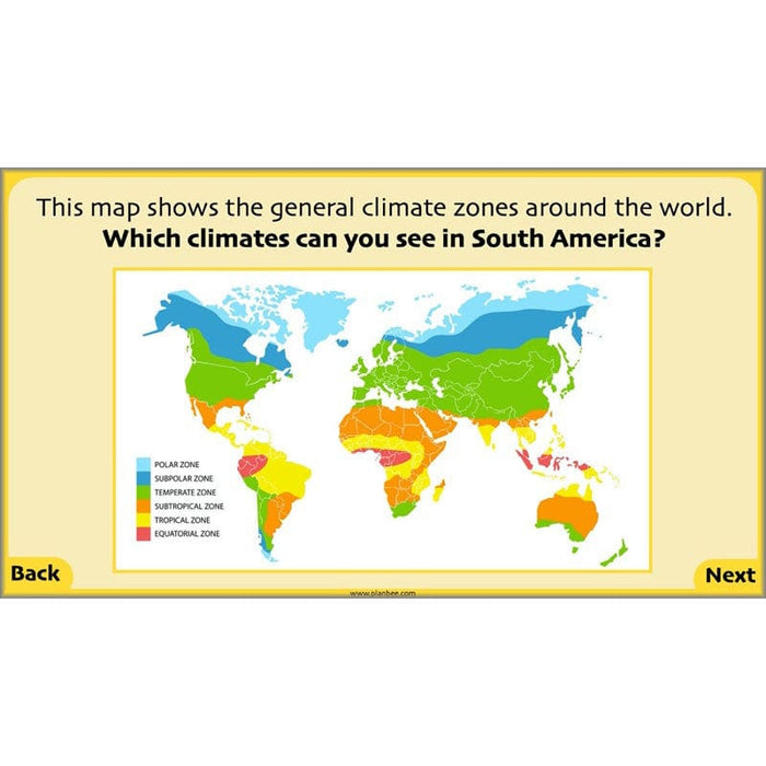
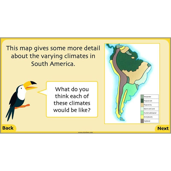
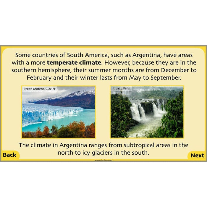
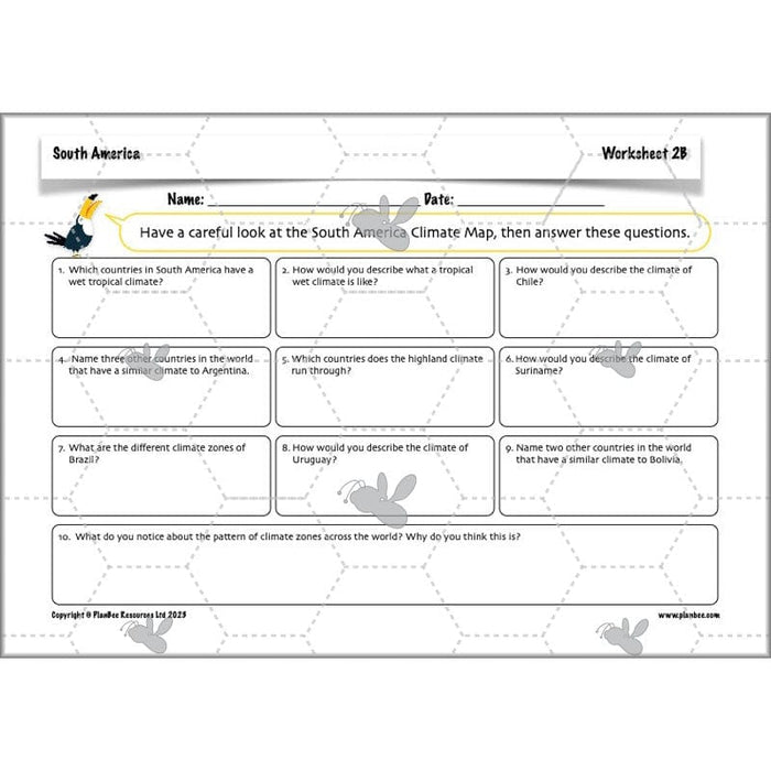
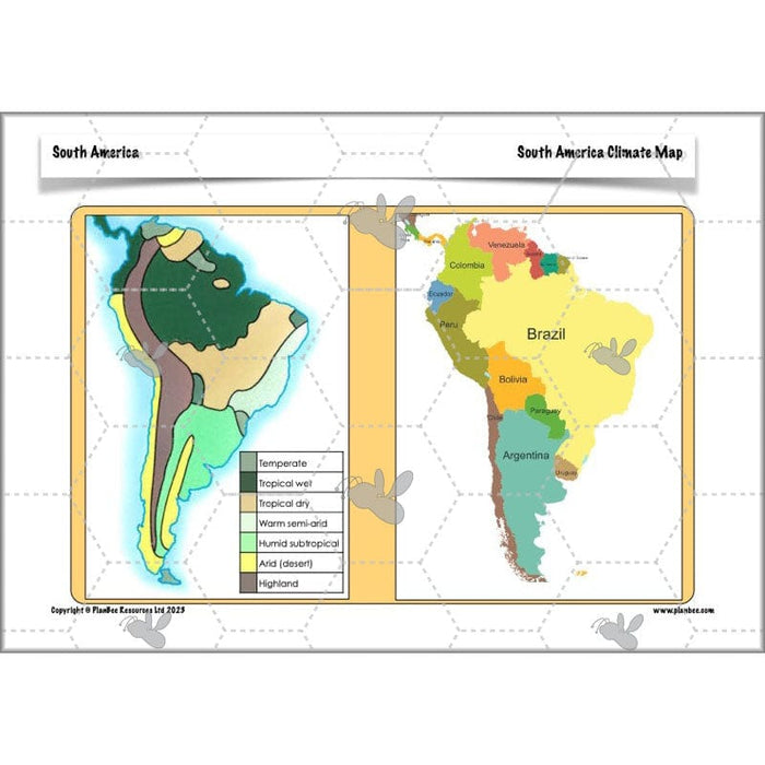
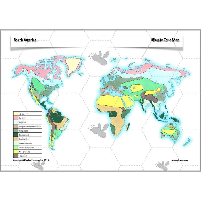
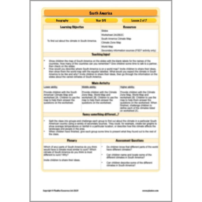
This Climate of South America lesson builds on the countries of South America lesson. Your class will find out about the various climates across South America using climate maps and keys. They will find out why different areas have different climates from the rainforests of Brazil to the deserts of Chile, identifying some of the characteristics of these different climates.
This downloadable lesson includes a lesson plan, slideshow presentation and printable teaching resources to support your teaching.
What's included:
- Lesson plan
- Slides
- Activity ideas
- Differentiated worksheets
- Climate zone map
- World map
- South America climate map
#Lesson3TheAndes
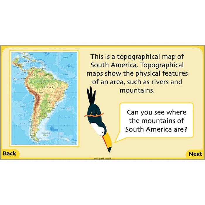
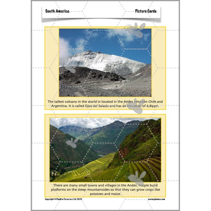
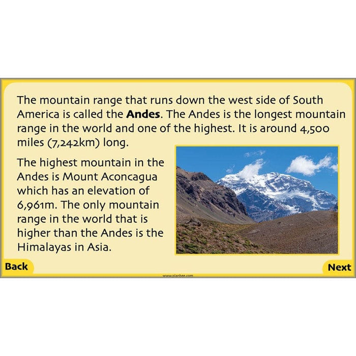
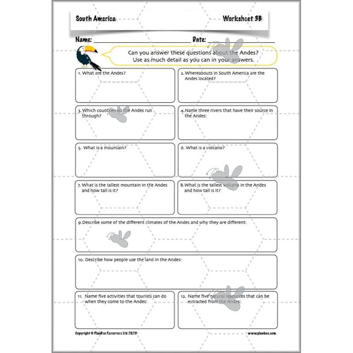
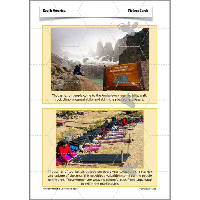
This interesting The Andes lesson introduces your class to the longest mountain range in the world, the Andes. They will find out the location, length and elevation of this major mountain range, as well as how the Andes are used by the people who live on or near them, from farming to tourism. They can then express their understanding of the Andes in different ways, including making a 3D mountain of information!
This downloadable lesson contains a lesson plan, slideshow presentation and teaching resources.
What's included:
- Lesson plan
- Slides
- Activity ideas
- Differentiated worksheets
- Picture cards
- 3D mountain template
- Challenge cards
#Lesson4HumanGeography
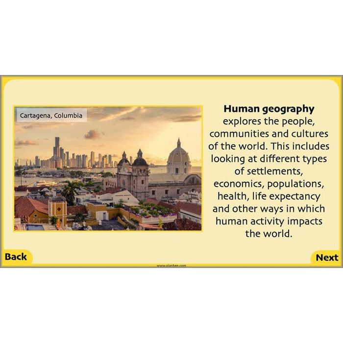
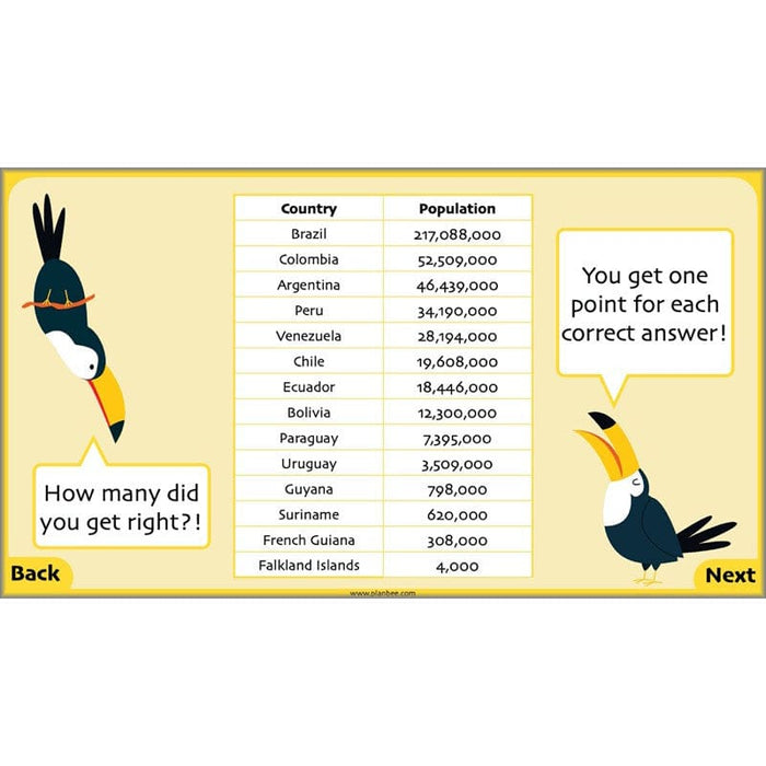
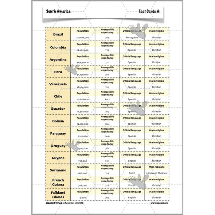
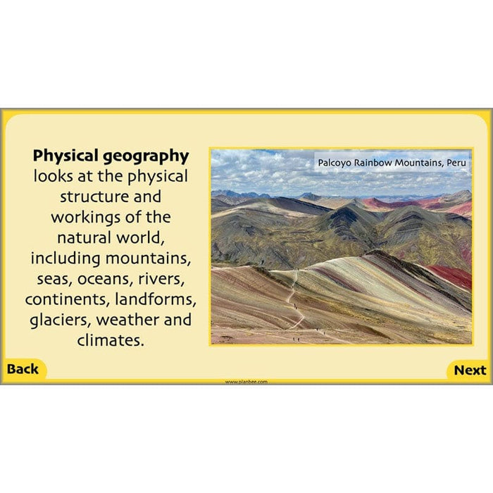
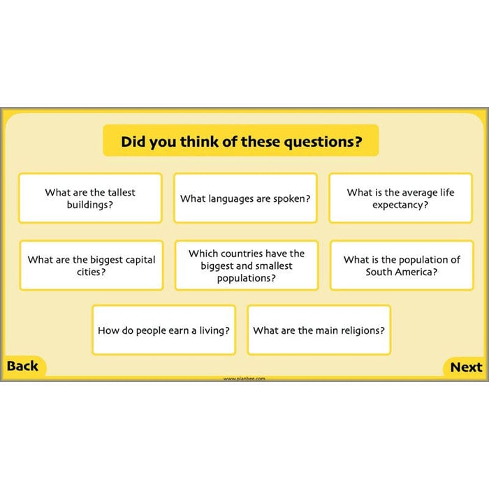
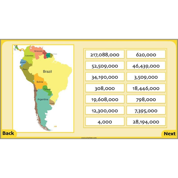
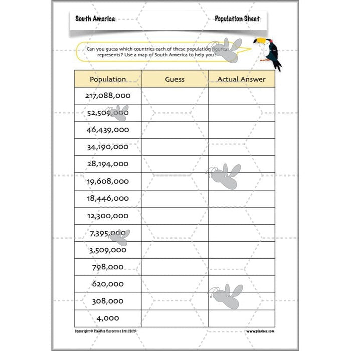
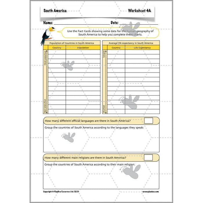
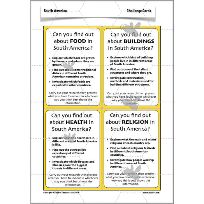
After defining the difference between human and physical geography, your class will have the chance to explore some of the aspects of human geography of South America, including populations, life expectancies, religions and capital cities. They can either compare the different countries of South America or choose one particular aspect of human geography to research for themselves.
This downloadable lesson on the human Geography of South America contains a lesson plan, slideshow presentation and printable teaching resources.
What's included:
- Lesson plan
- Slides
- Activity ideas
- Differentiated fact cards
- Population sheet
- South America map
- Challenge cards
#Lesson5TradeandIndustry
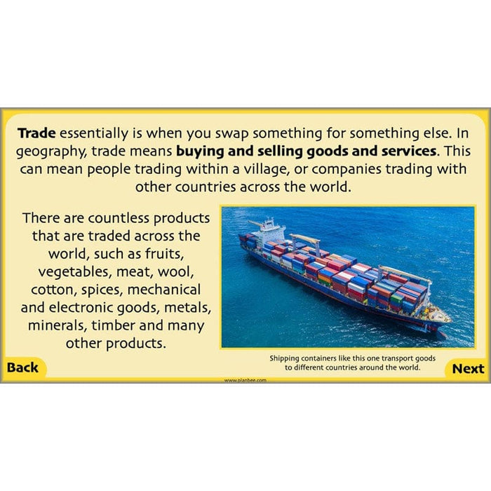
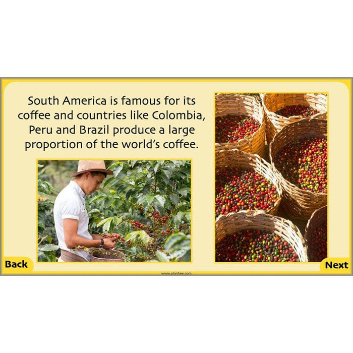
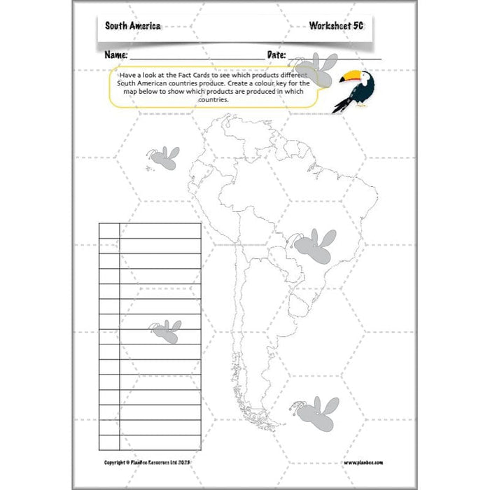
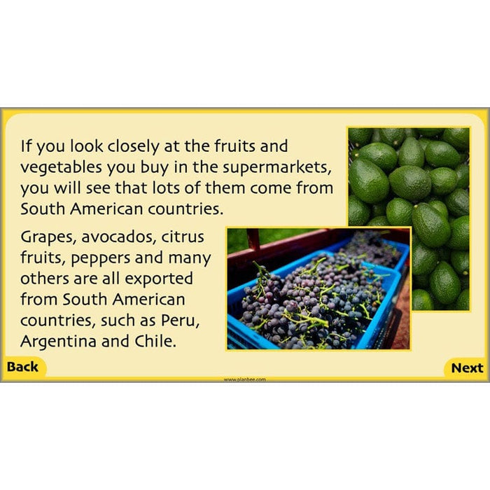
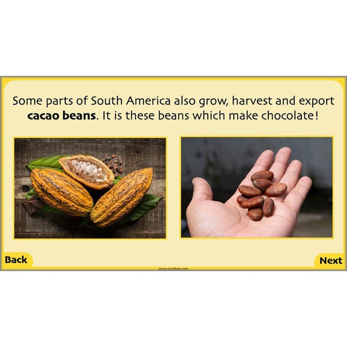
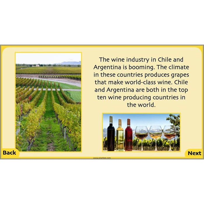
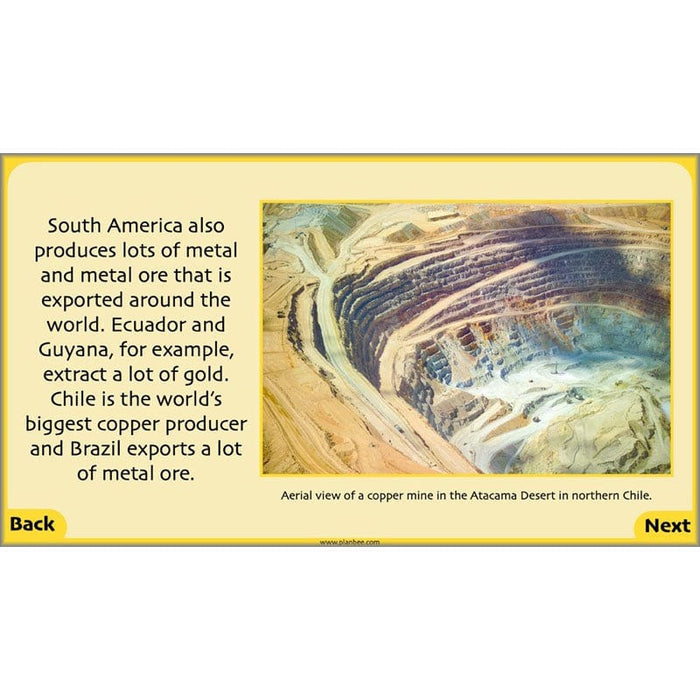
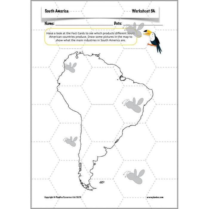
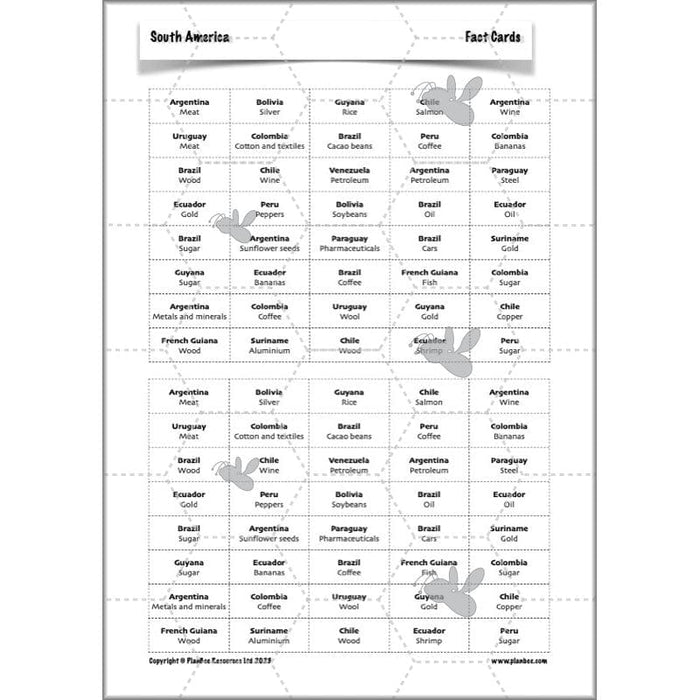
This lesson starts by exploring what world trade is and then goes on to look at some of the major industries in different South American countries and some of their main exports. Your class will find out which products they eat may have come from South America, as well as other products such from gold to salmon!
This downloadable ready-to-teach lesson contains a lesson plan, slideshow presentation and printable teaching resources.
What's included:
- Lesson plan
- Slides
- Activity ideas
- Differentiated worksheets
- Picture cards
#Lesson6CountryStudy
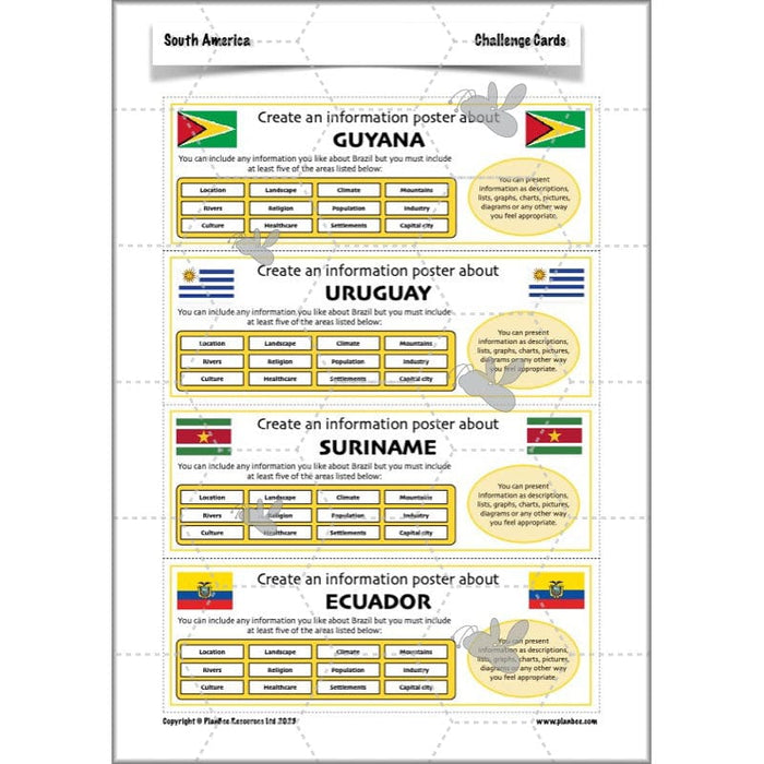
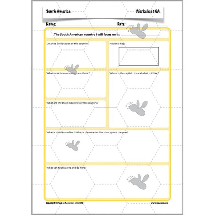
Now that your class have a good overview of the continent of South America, it is time for them to put their research skills to the test as they choose a particular South American country to investigate. They can choose the areas they wish to focus on and how they will find out the information. They can then present what they have found out in a variety of ways.
This downloadable lesson contains a lesson plan, slideshow presentation, activity ideas and printable teaching resources all in a handy downloadable ready-to-teach pack.
What's included:
- Lesson plan
- Slides
- Activity ideas
- Worksheet
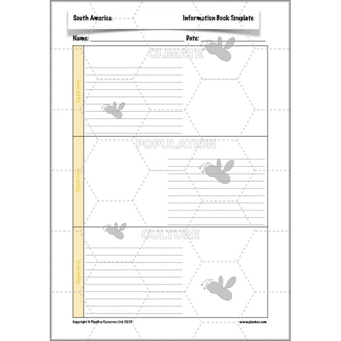
- Information book template
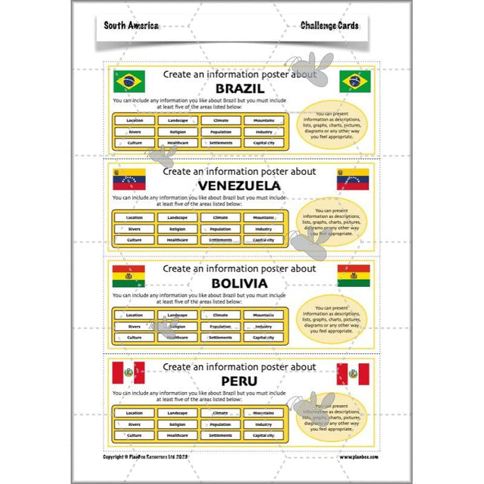
- Challenge cards
#Lesson7ComparisonstotheUK
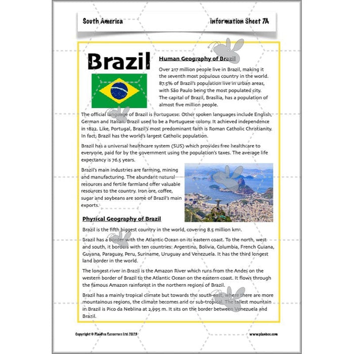
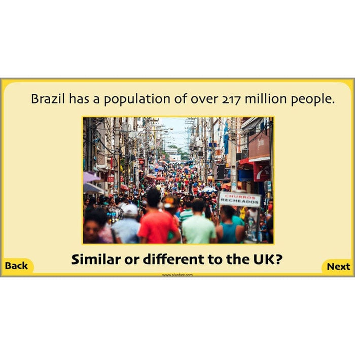
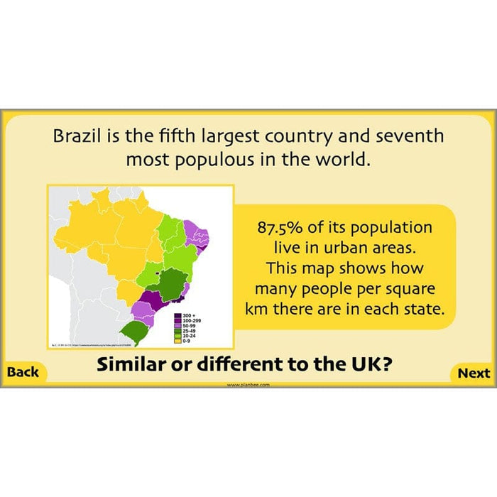
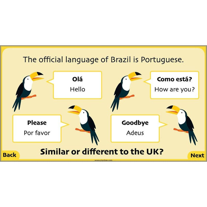
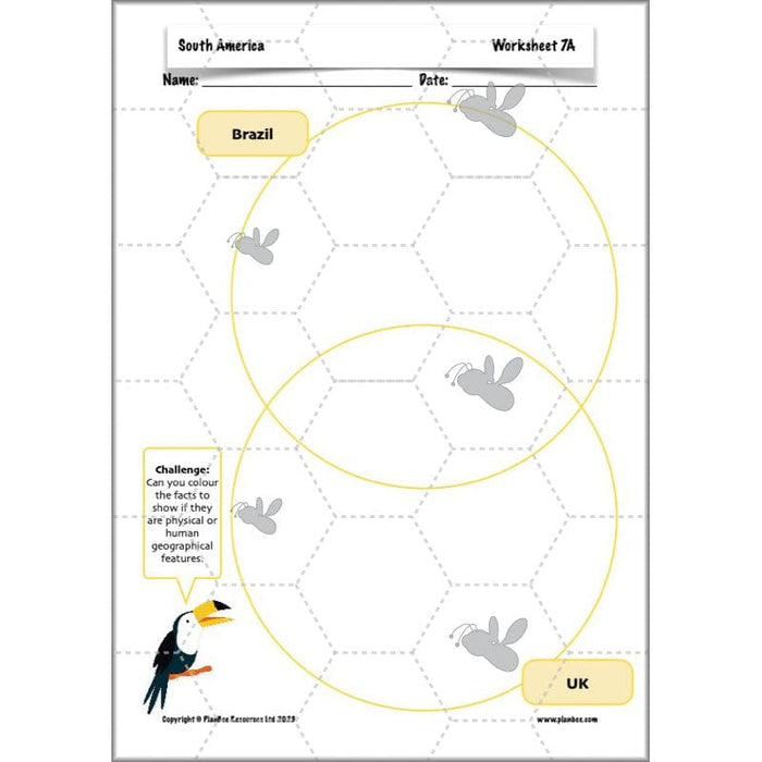
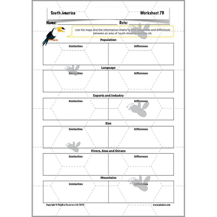
In this final lesson of the South American KS2 scheme, your class will be challenged to make some direct comparisons between the UK and Brazil or another region in South America.
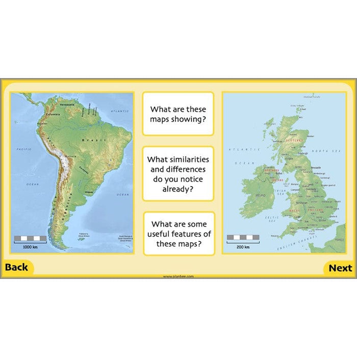
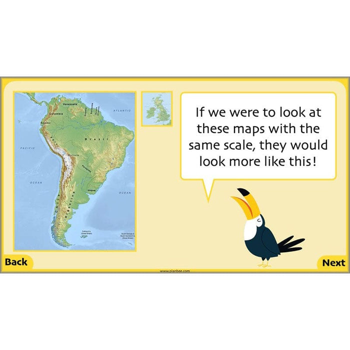
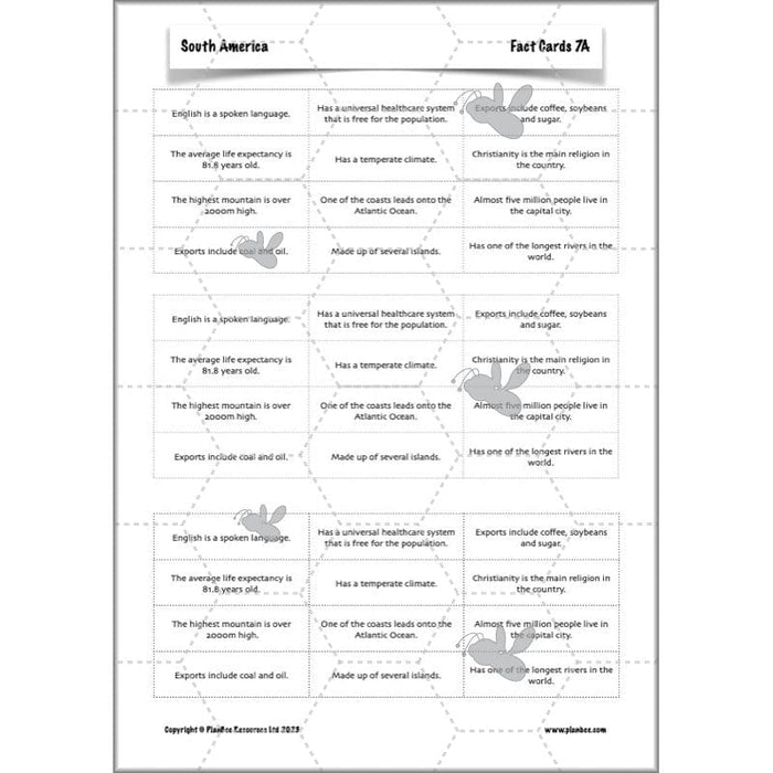
They will develop their mapwork skills as they study the way elevations are represented using colours on maps and use these maps to compare the two regions' physical geography.They will identify features of the regions, including using the scale of a map to make observations around the size of these two areas. The children will focus on facts about the human and physical geography of the places in order to find some similarities and differences. They will present their findings and research in different ways, including the use of Venn diagrams to show their comparisons.
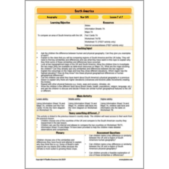
Instantly download this lesson pack which provides you with a detailed lesson plan and differentiated activity ideas as well as lesson slides and printable resources to support your class as they compare a region in South America with a region in the UK.
What's included:
- Lesson plan
- Slides
- Activity ideas
- Information sheets
- Maps
- Fact cards
- Differentiated worksheets
- End of unit quiz
Free Overview (Medium-Term Plan)
Download a free overview to support your teaching of this scheme of work.
Free Assessment Grid
Download a free, editable assessment grid to support your teaching of this scheme of work.
Curriculum Objectives covered
- KS2 - locate the world’s countries, using maps to focus on Europe (including the location of Russia) and North and South America, concentrating on their environmental regions, key physical and human characteristics, countries, and major cities
- KS2 - identify the position and significance of latitude, longitude, Equator, Northern Hemisphere, Southern Hemisphere, the Tropics of Cancer and Capricorn, Arctic and Antarctic Circle, the Prime/Greenwich Meridian and time zones (including day and night)
- KS2 - describe and understand key aspects of physical geography, including: climate zones, biomes and vegetation belts, rivers, mountains, volcanoes and earthquakes, and the water cycle
- KS2 - describe and understand key aspects of human geography, including: types of settlement and land use, economic activity including trade links, and the distribution of natural resources including energy, food, minerals and water
