#TheCompleteSeries7lessons
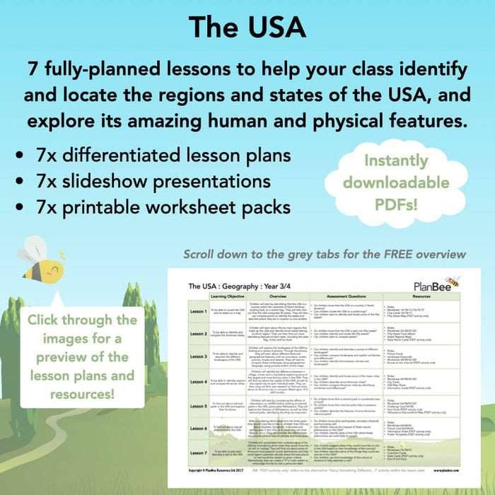
Containing seven individual lessons with everything you need to teach your class about the USA, including detailed lesson plans, presentations, differentiated activities and a range of printable resources, this scheme of work will open their eyes to the incredible and varied country that is America.
This scheme of work is also part of a Topic Bundle. Perfect if you are teaching 'The USA' as a cross-curricular topic.
#Lesson1StateyourLocation
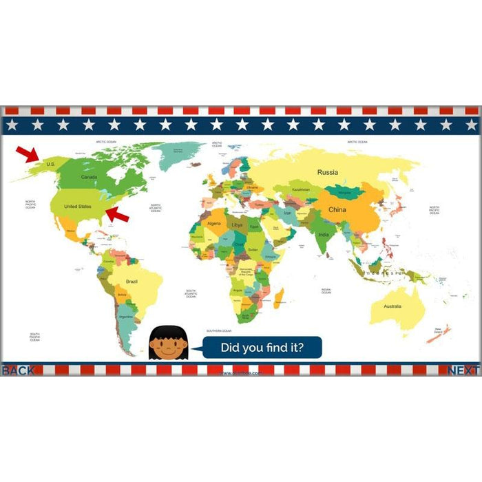
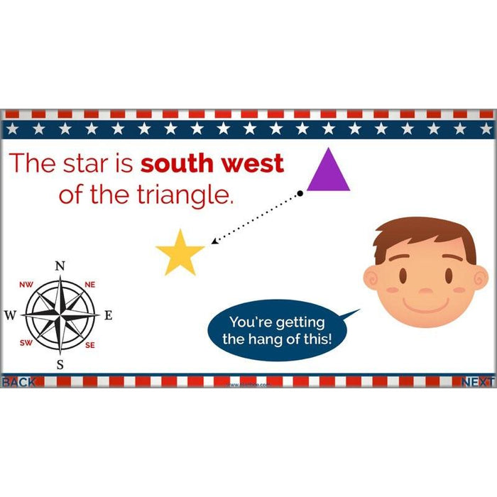
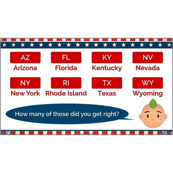
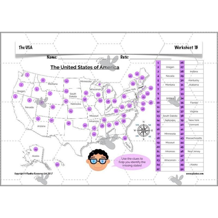
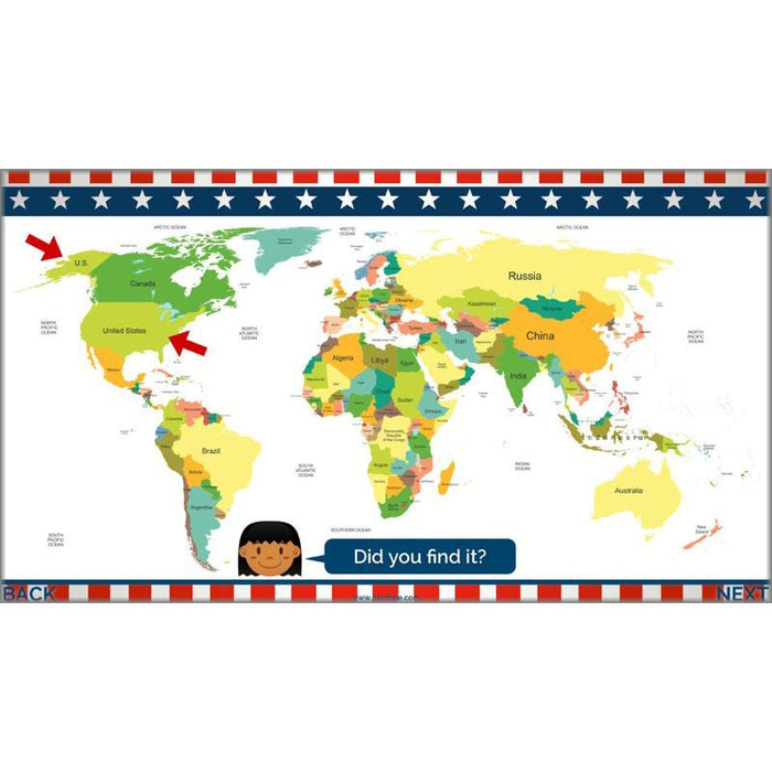
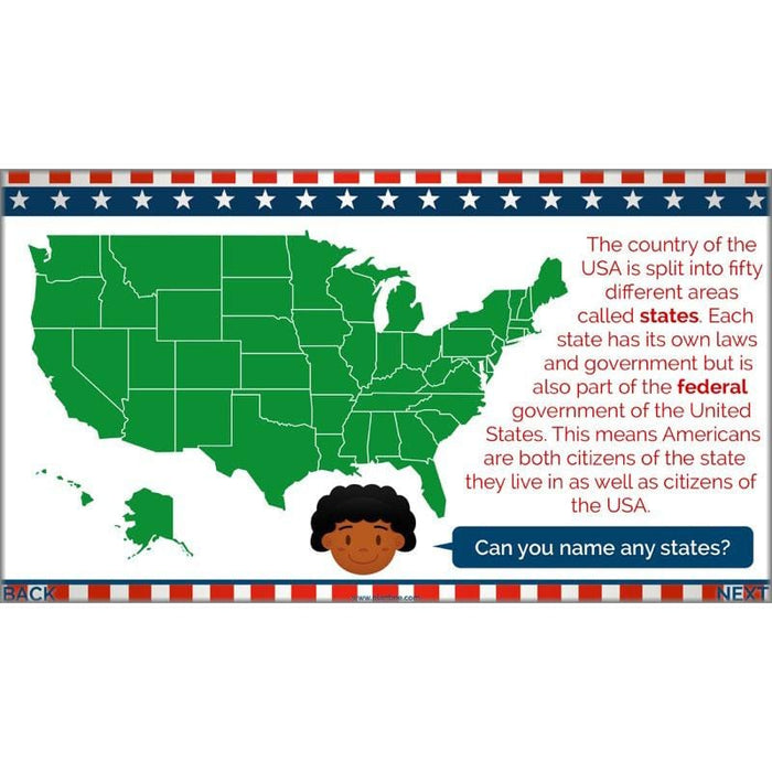
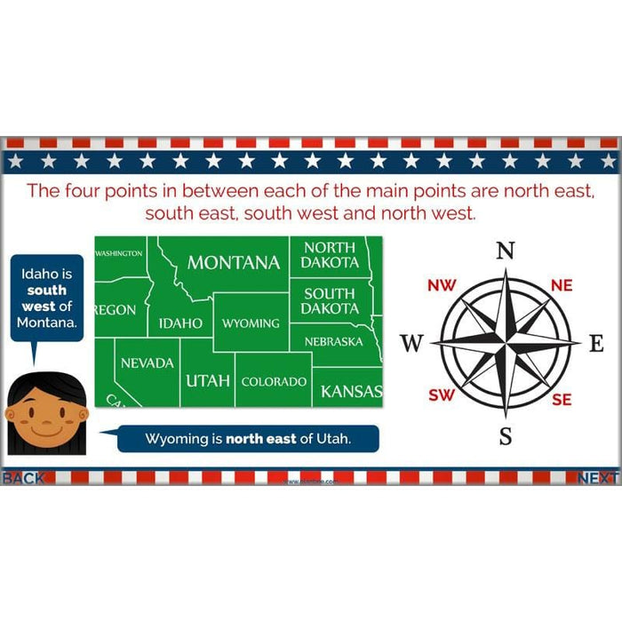
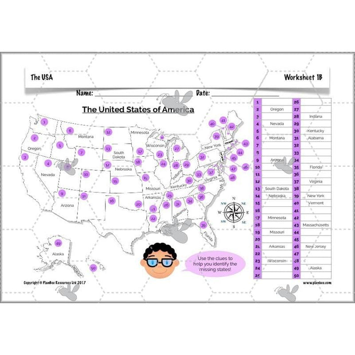
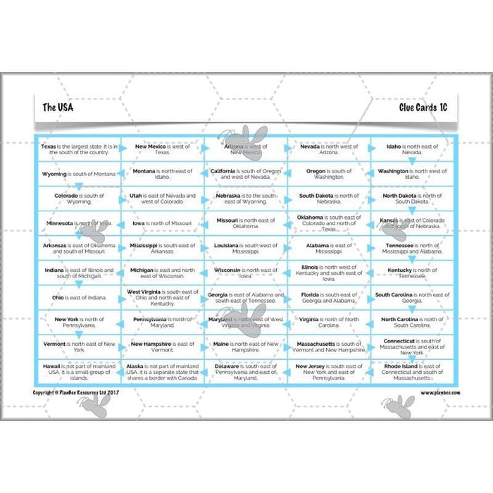
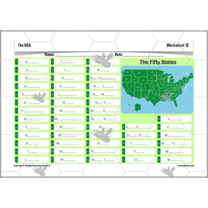
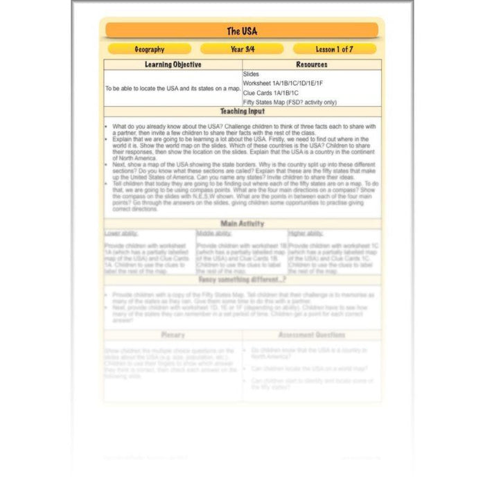
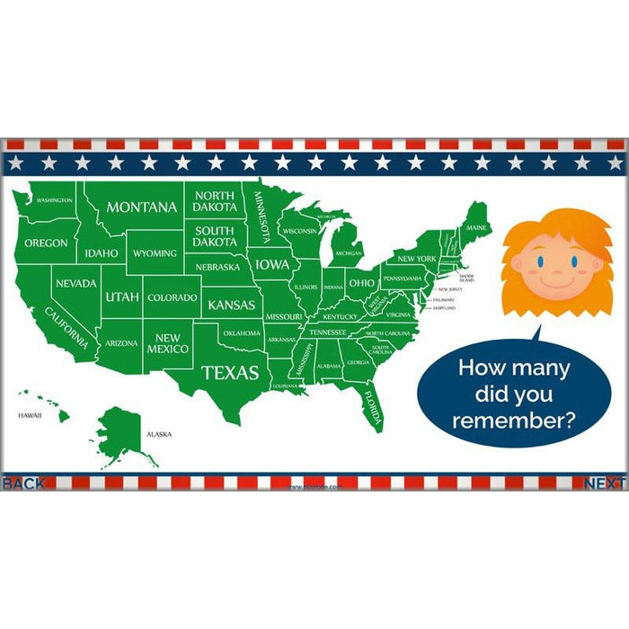
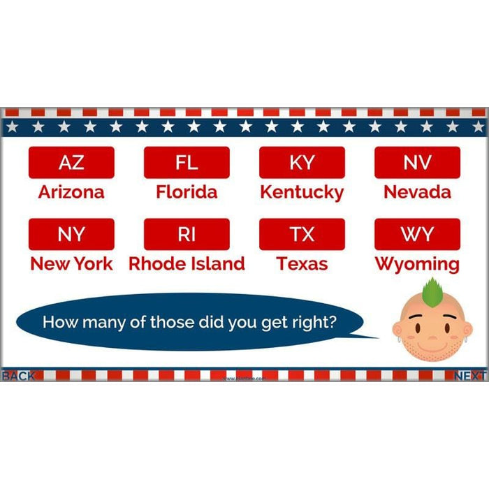
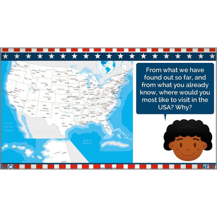
Children will start by identifying the USA as a country in the continent of North America, finding out where both of these are on a world map. They’ll consider what they already know about the USA and find out how it is separated into fifty states. Using compass directions, they will then identify each of the fifty states and describe where they are in relation to each other. Alternatively, they can test their memories to see how many of the states they can remember and recall in a given time scale!
What's included:
- Lesson plan
- Slides
- Activity ideas
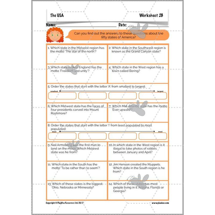
- Differentiated worksheets
- Differentiated clue cards
- Fifty States map
#Lesson2ExploringtheStates
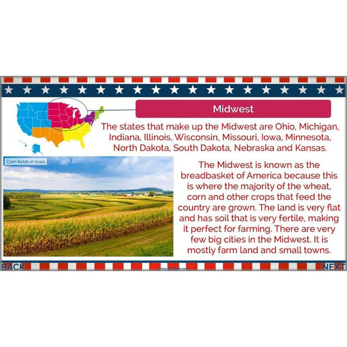
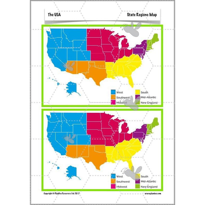
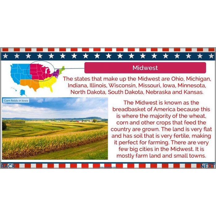
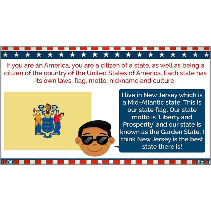
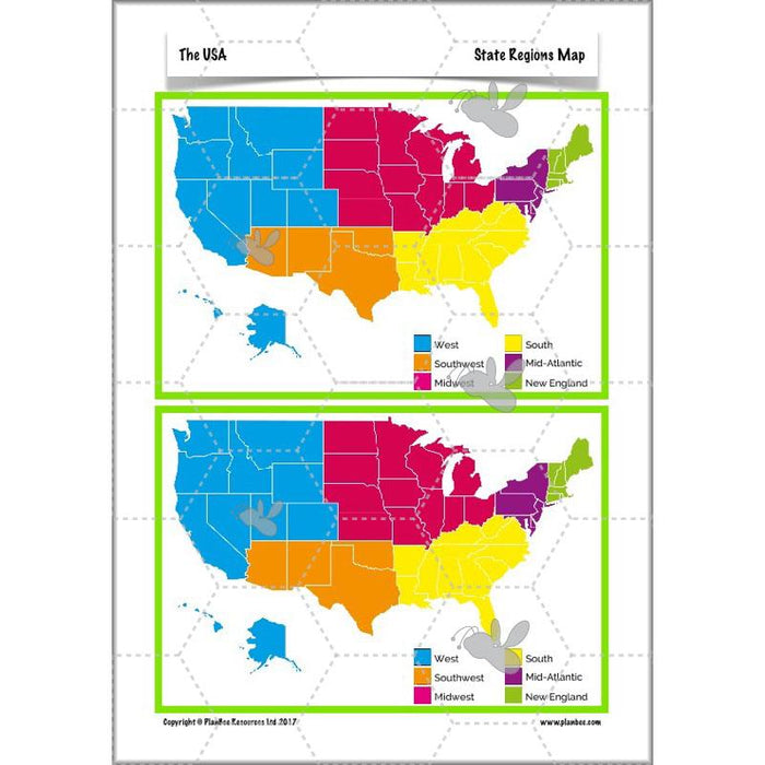
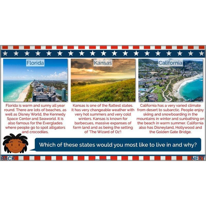
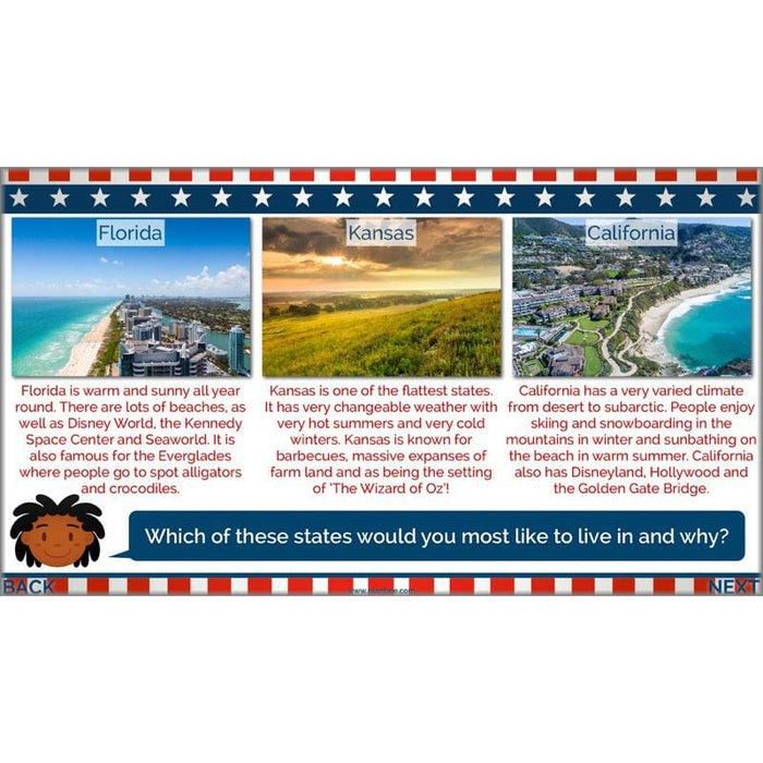
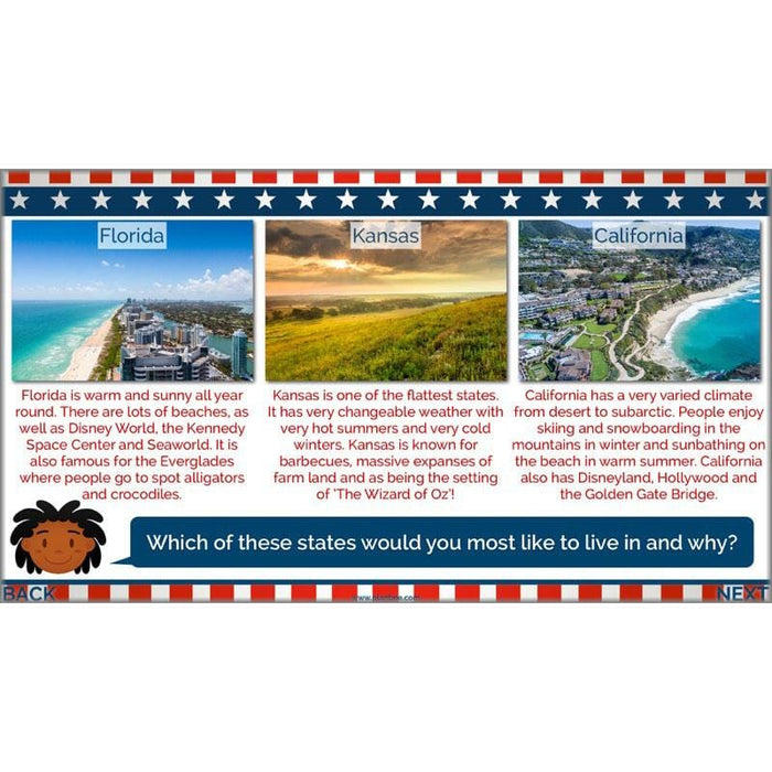
Now that your class can identify the fifty states, they will find out how they are split into six regions: New England, Mid-Atlantic, Midwest, Southwest, South and West. They will explore the broad characteristics of each region before finding out more about the individual states in order to start comparing them.
What's included:
- Lesson plan
- Slides
- Activity ideas
- Differentiated worksheets
- Fifty State Facts eBook
- States Regions map
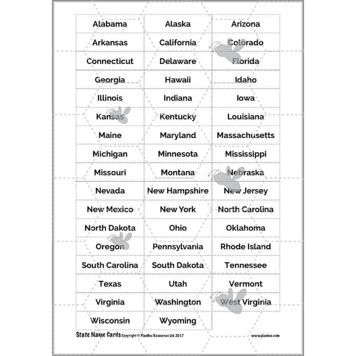
- State Names cards
#Lesson3Landscapes
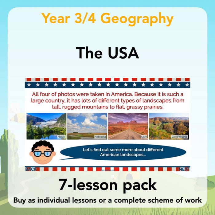
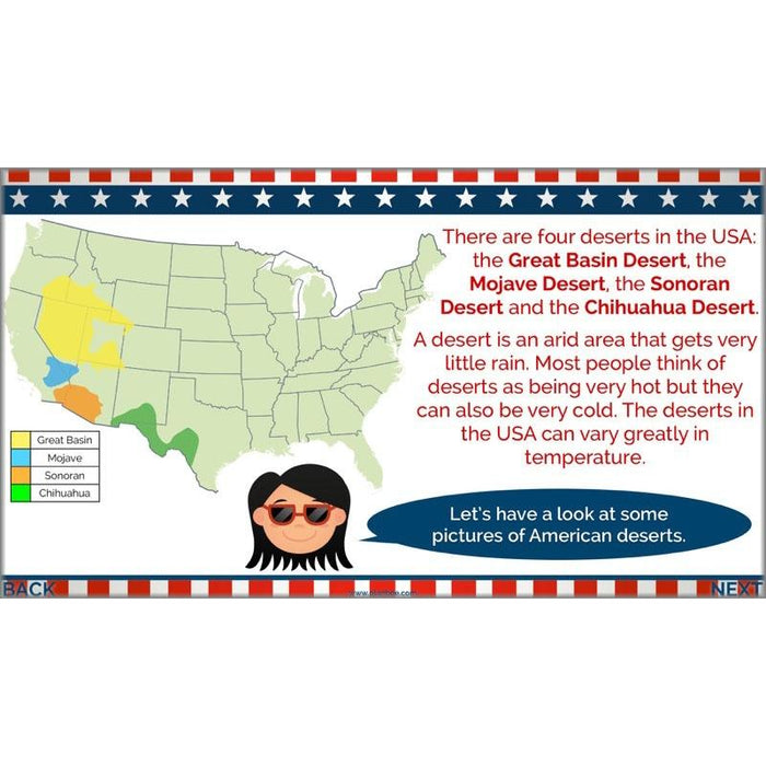
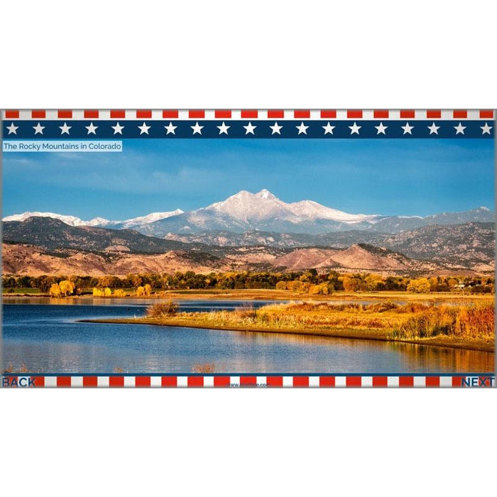
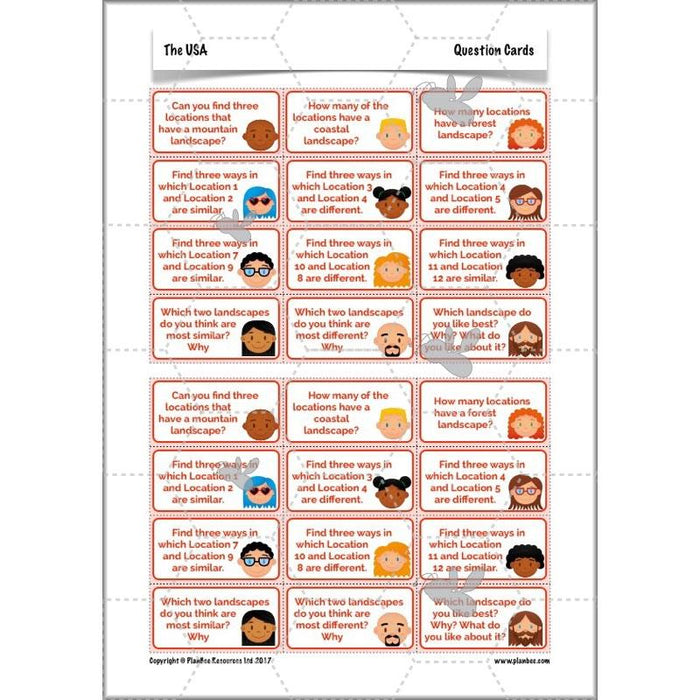
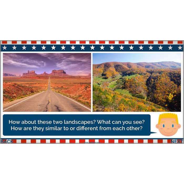
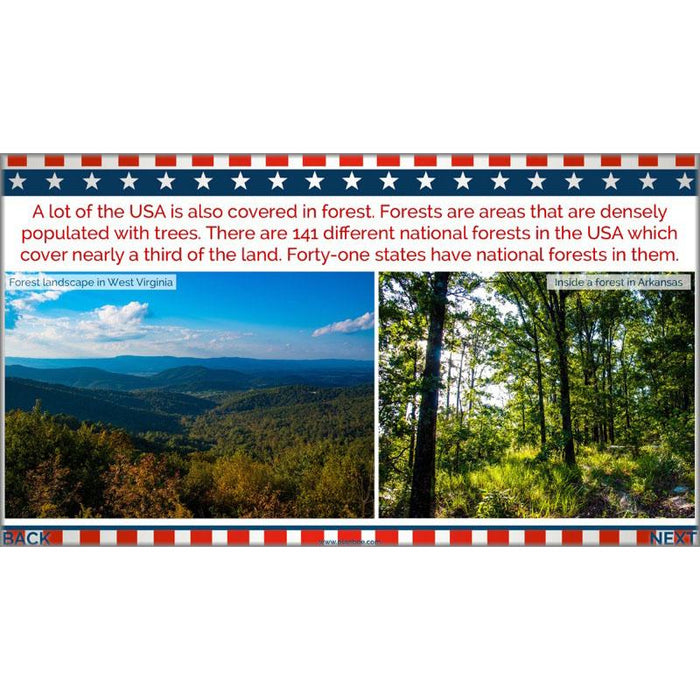
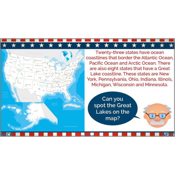
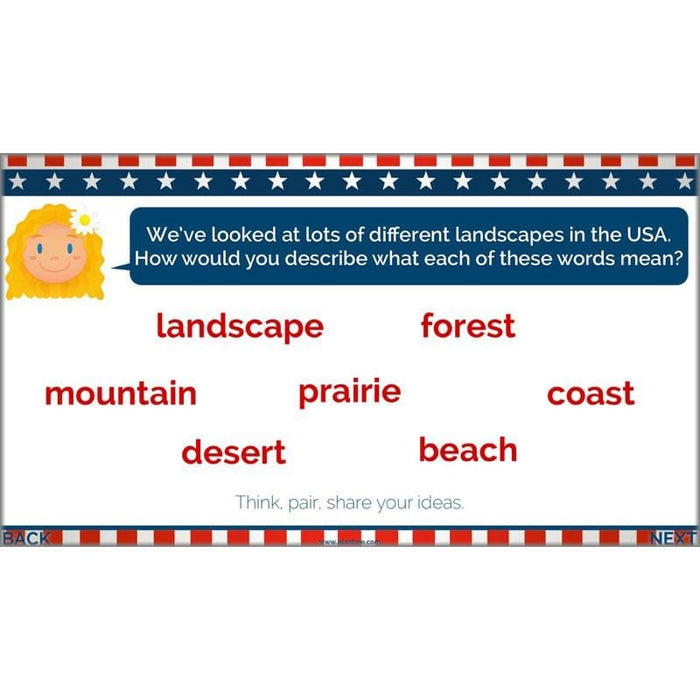
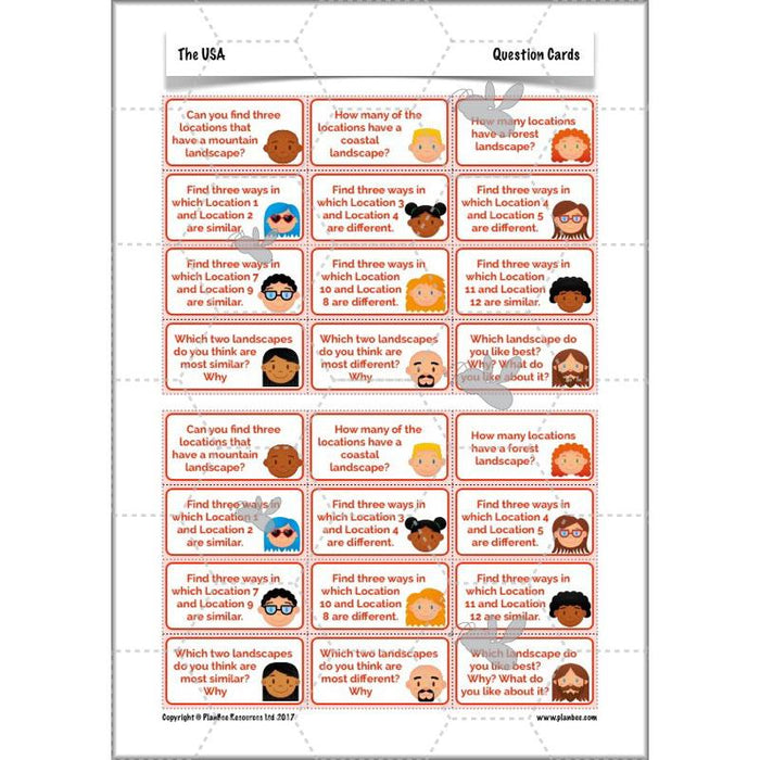
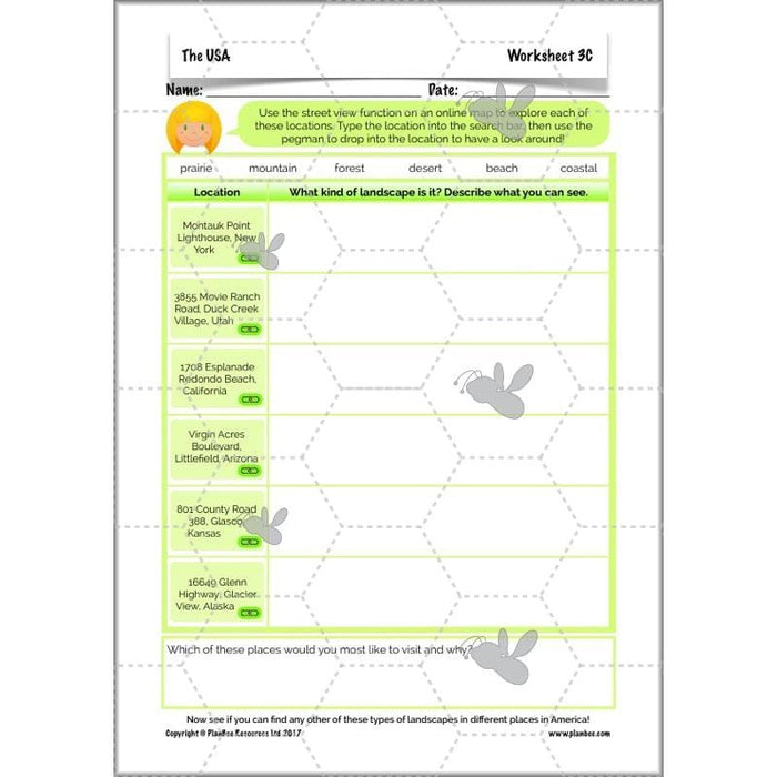
The breathtaking scenery your class will be shown in this lesson will help them to start understanding what a rich and varied landscape America has. Through these photos, they will find out about different geographical features of the USA, including mountains, coasts, prairies, forests and deserts. They will start to compare these landscapes using geographical language using photographs, or by exploring them for themselves using online maps.
What's included:
- Lesson plan
- Slides
- Activity ideas
- Picture cards
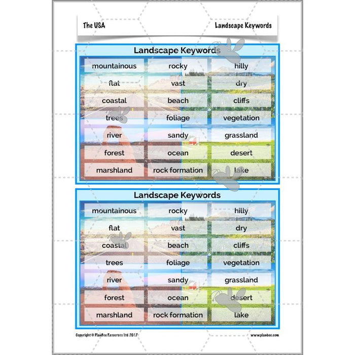
- Landscape keywords
- Differentiated worksheets
#Lesson4AmericanCities
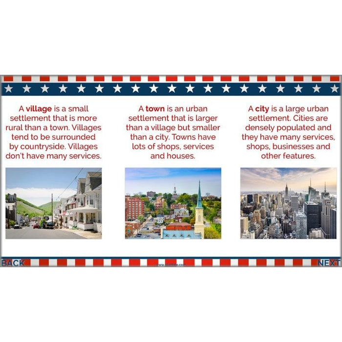
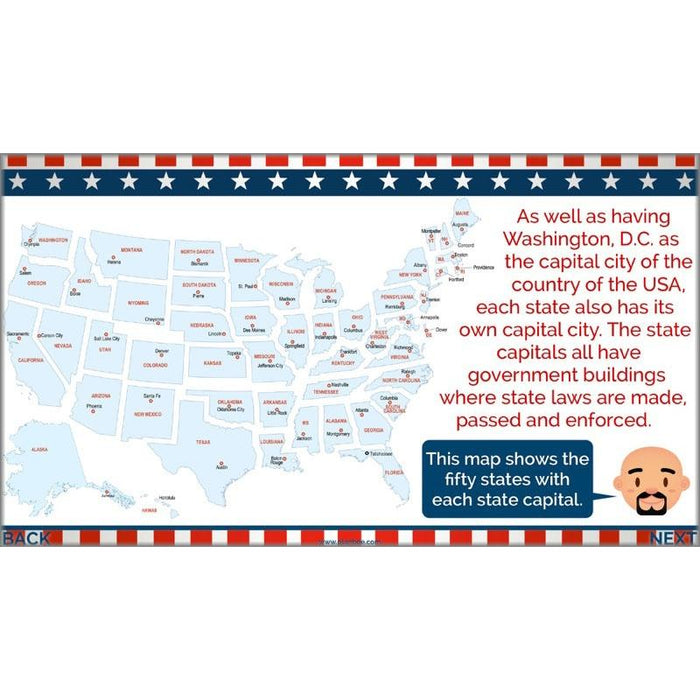
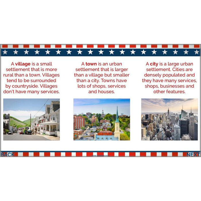
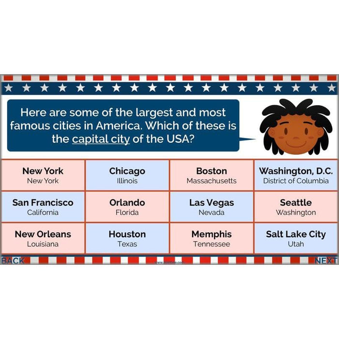
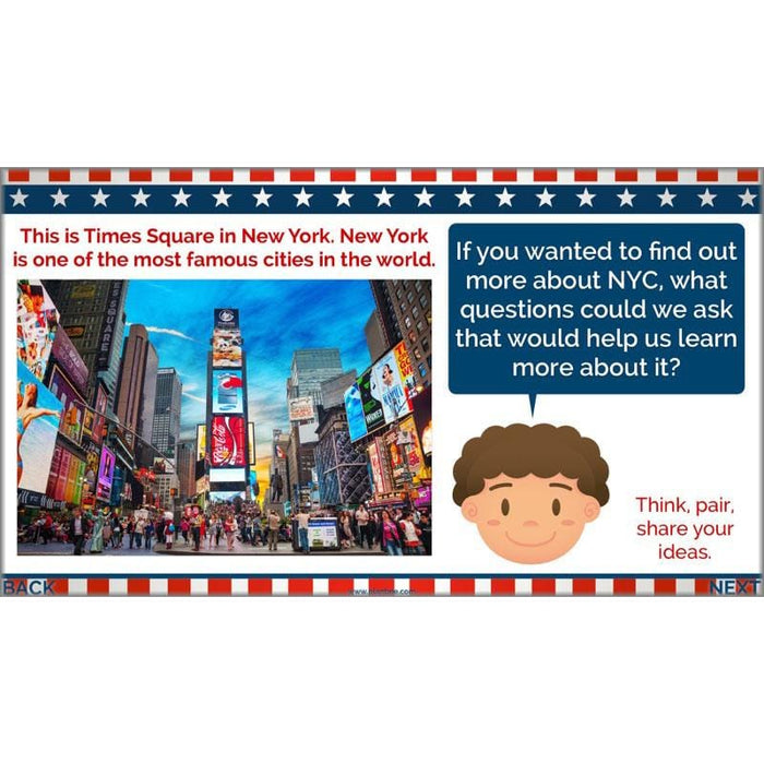
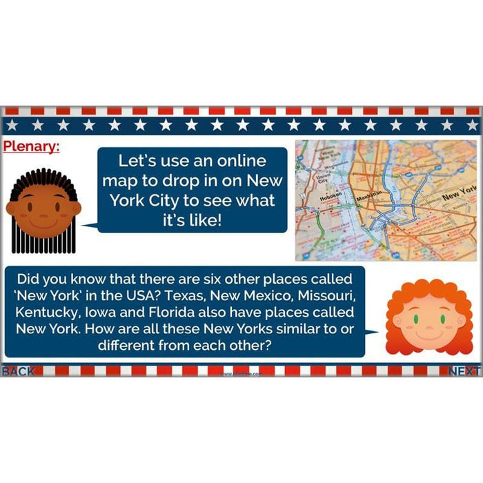
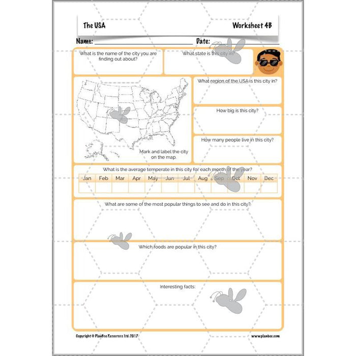
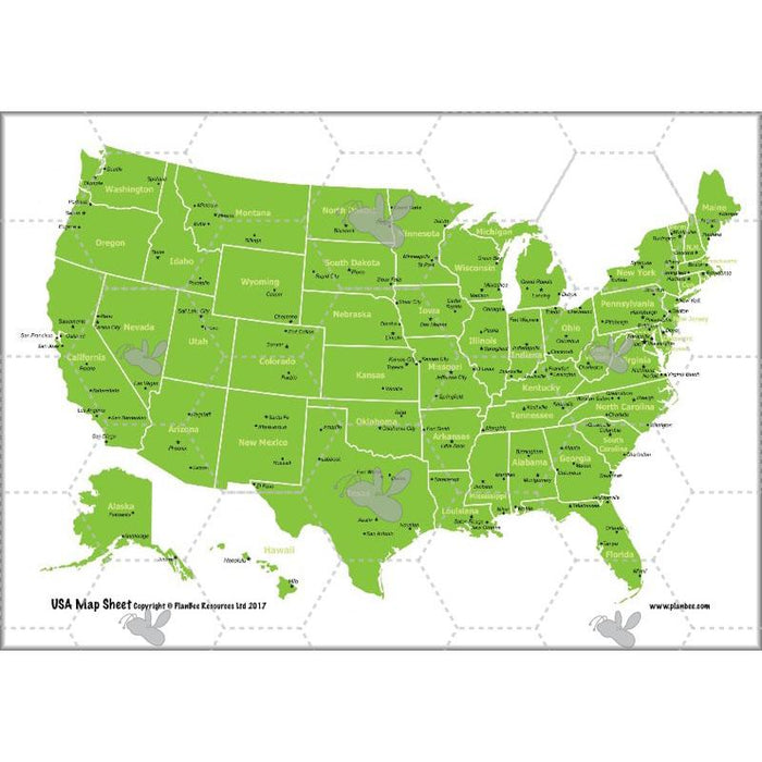
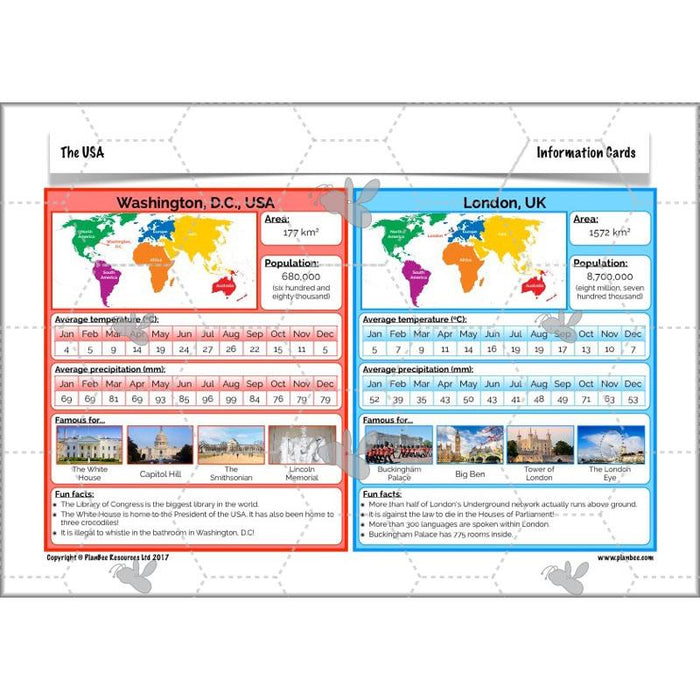
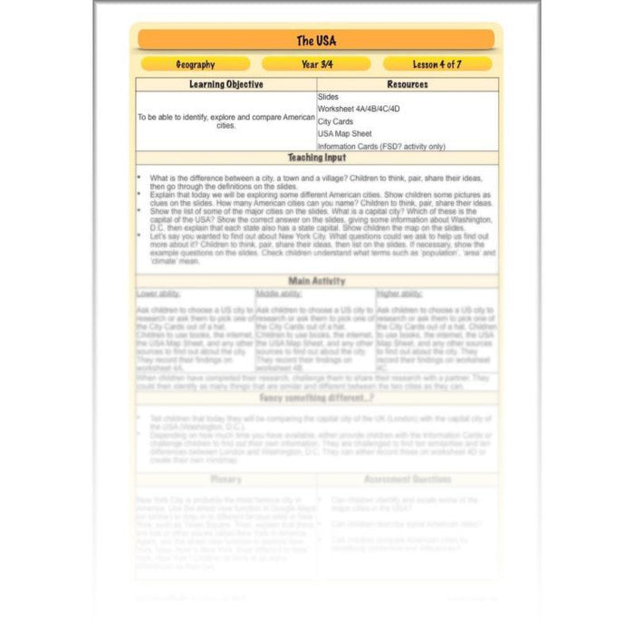
Children will start this lesson by identifying the difference between a village, a town and a city. They will then go on to explore some of the largest and most famous cities in the USA. They will find out about the capital of the USA, as well as the capital city of each individual state. They can then carry out their own research to find out more about an American city, or compare Washington, D.C. with London.
What's included:
- Lesson plan
- Slides
- Activity ideas
- Differentiated worksheets
- City cards
- USA Map sheet
- Information cards
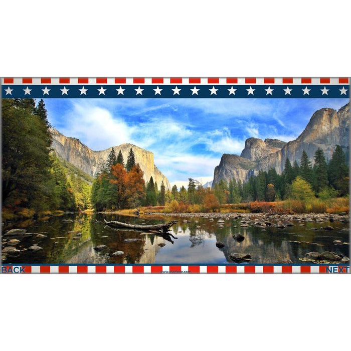
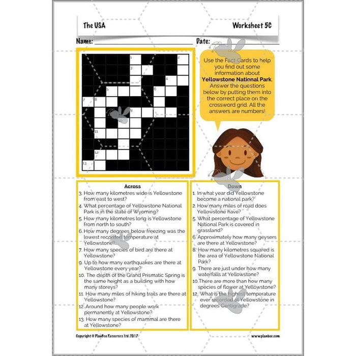
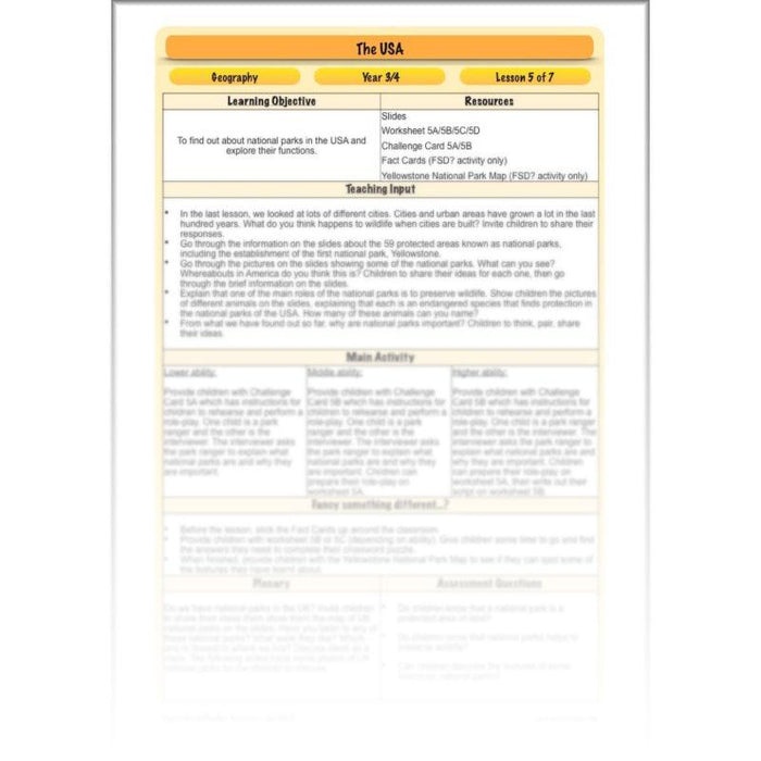
#Lesson5NationalParks
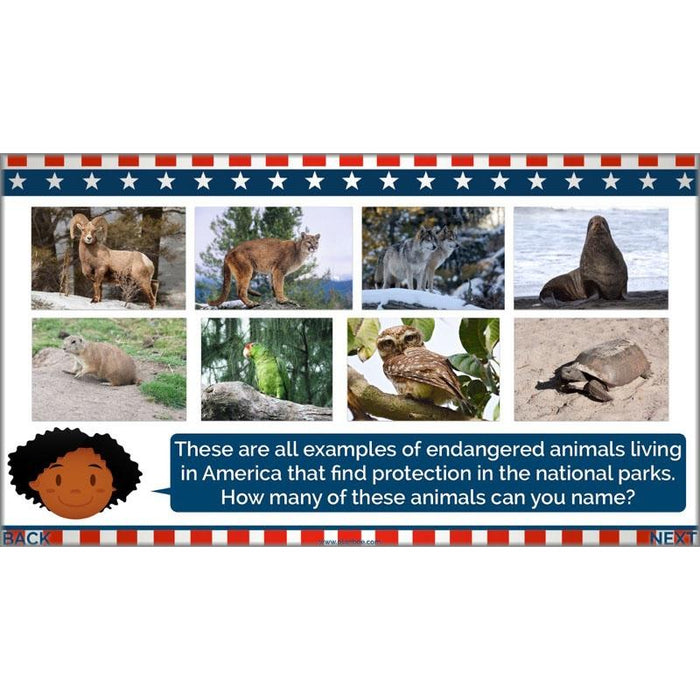
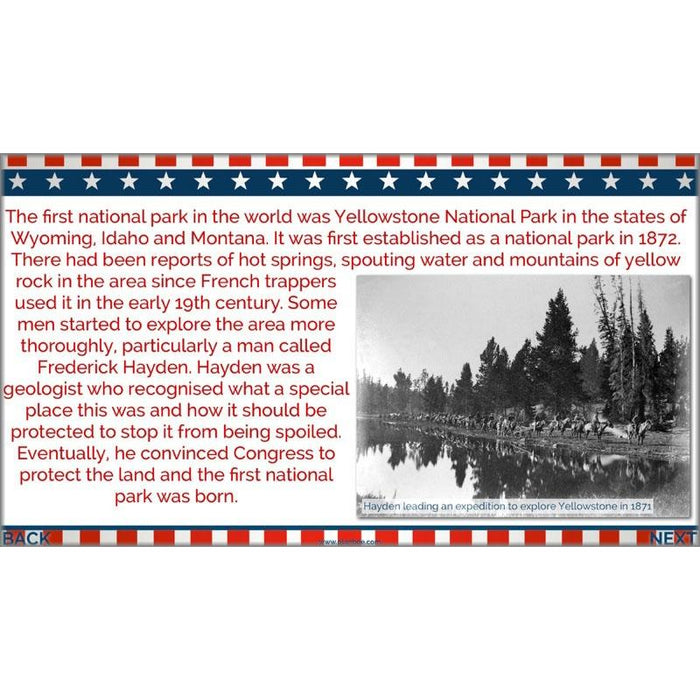
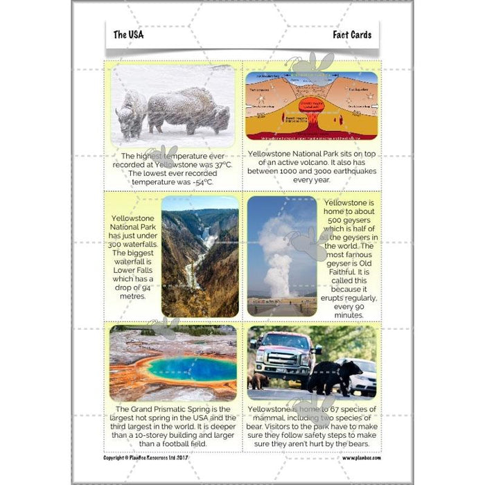
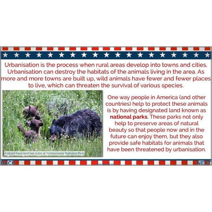
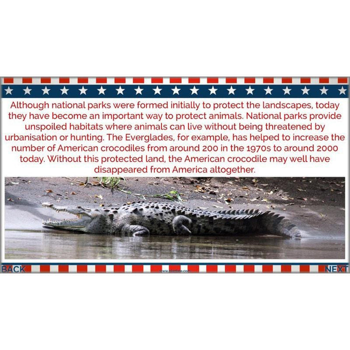
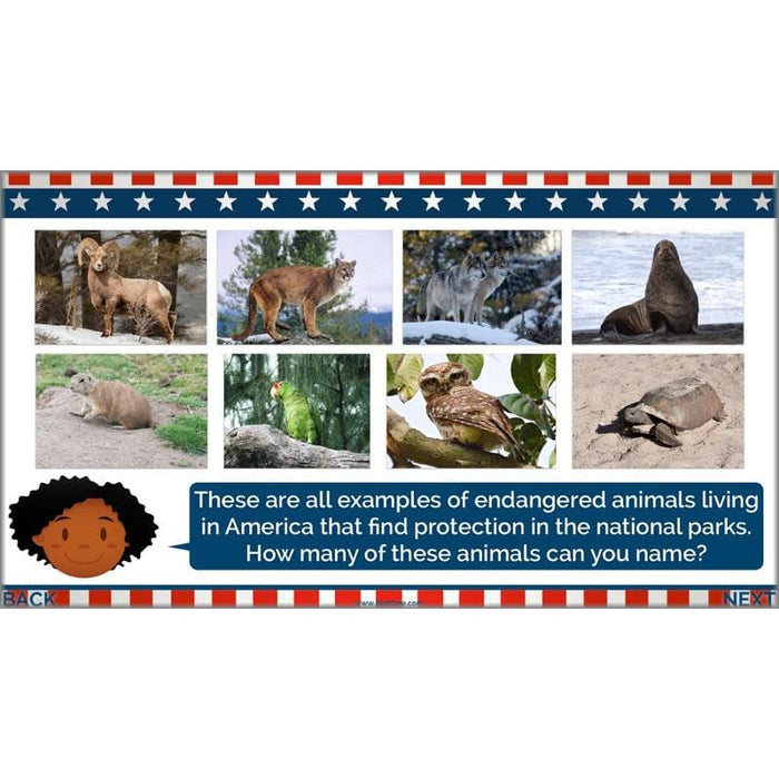
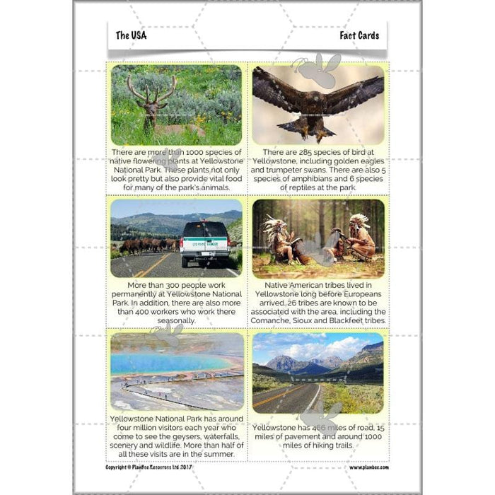
This lesson starts by encouraging children to consider the effects of urbanisation on wildlife. They will then go on to find out what national parks are, how, when and why the first national park was set up, and the role that national parks play in the country today. They will be able to find out more about American national parks, particularly Yellowstone, identifying and explaining why they are important.
What's included:
- Lesson plan
- Slides
- Activity ideas
- Differentiated worksheets
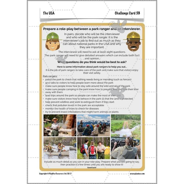
- Challenge cards
- Fact cards
- Yellowstone National Park map
#Lesson6NaturalPhenomena
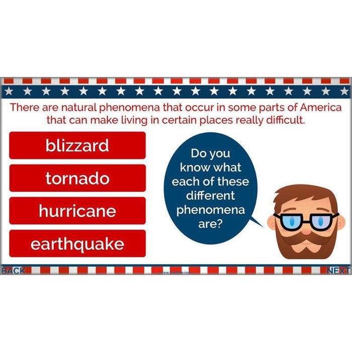
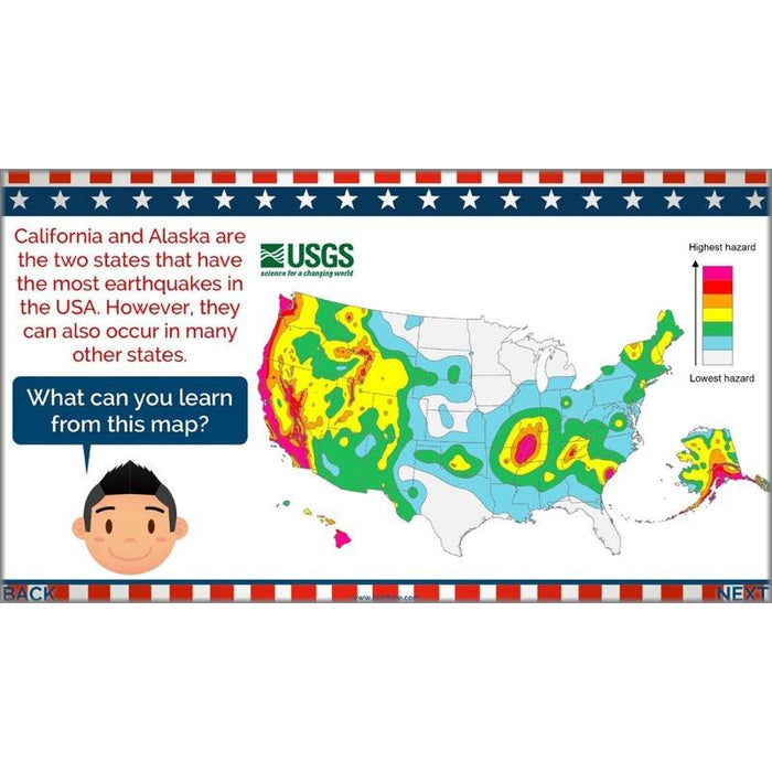
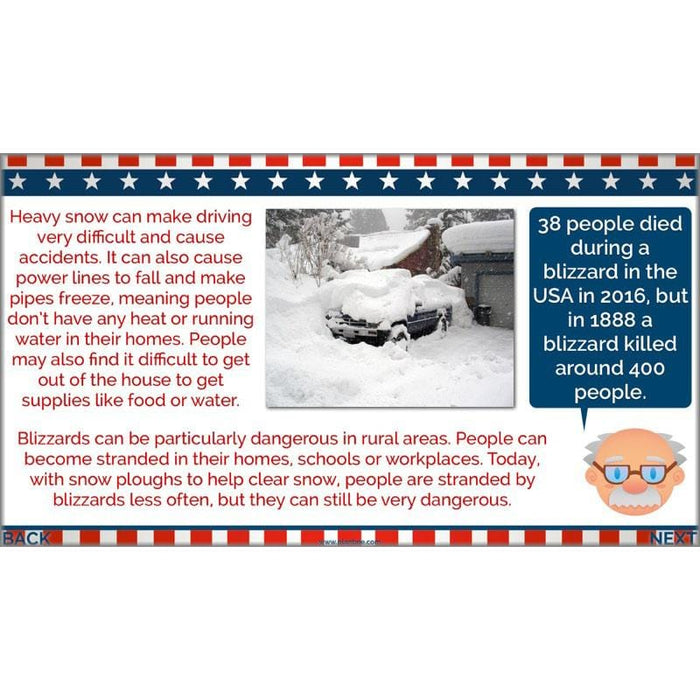
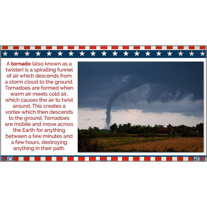
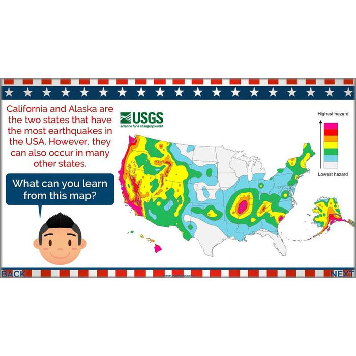
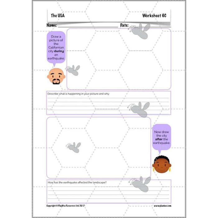
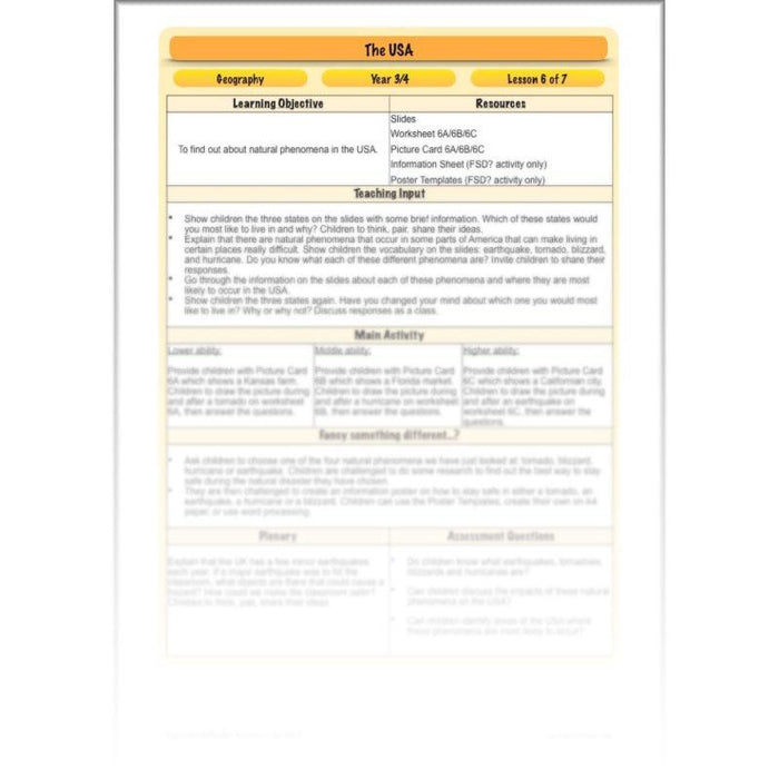
This lesson shows your class the wild side of America as they learn about blizzards, tornadoes, hurricanes and earthquakes, identifying where in America each of these phenomena are most likely to occur. They will also consider the effects these have on people and landscapes.
What's included:
- Lesson plan
- Slides
- Activity ideas
- Differentiated worksheets
- Picture cards
- Information sheet
- Poster template
#Lesson7VisitingAmerica
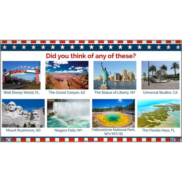
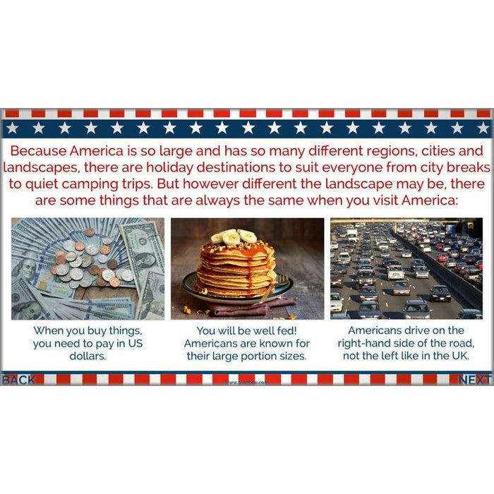
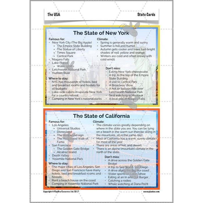
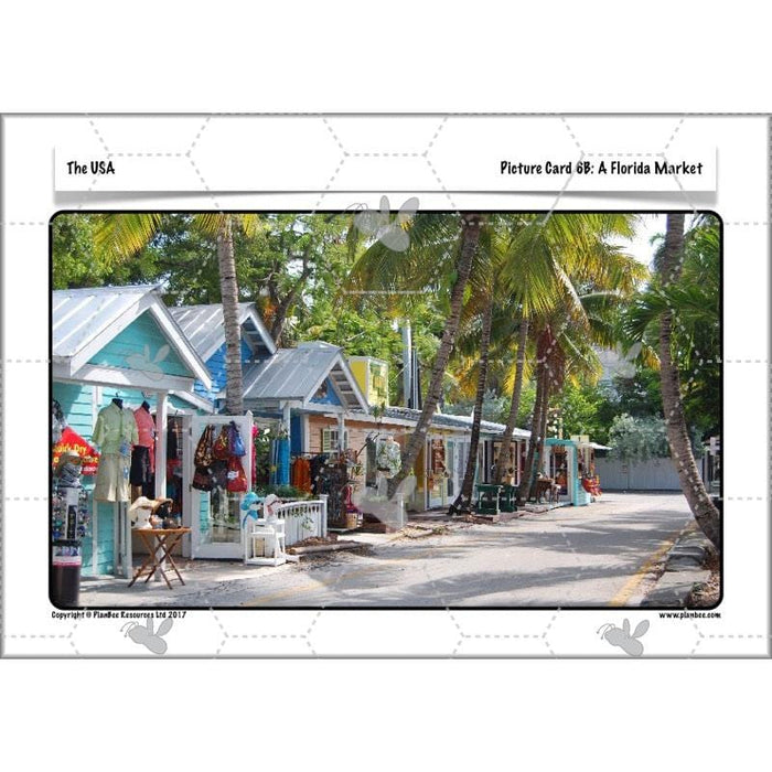
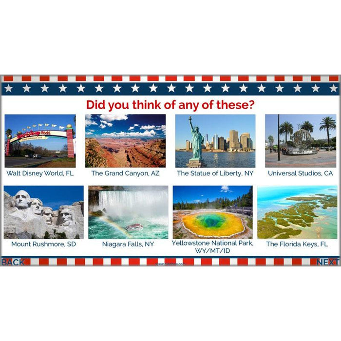
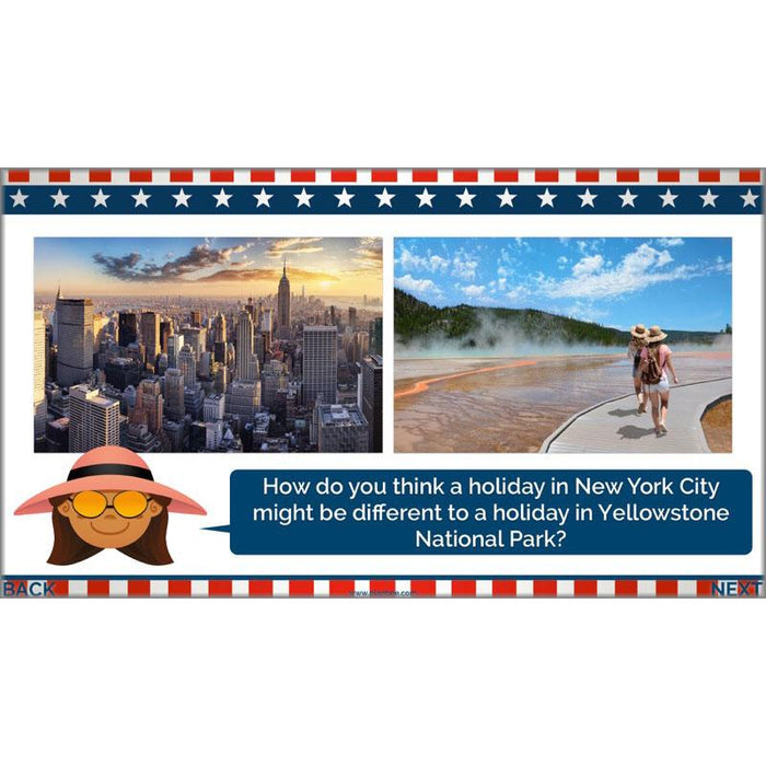
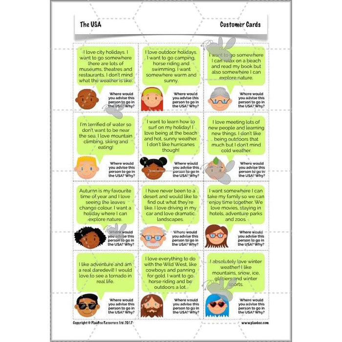
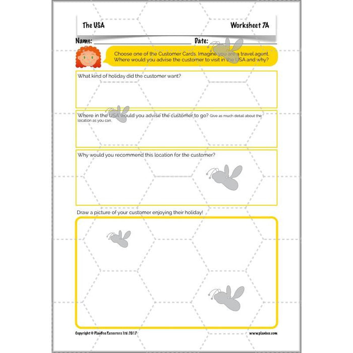
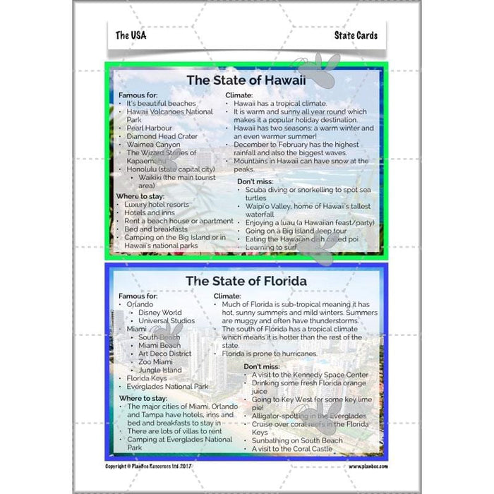
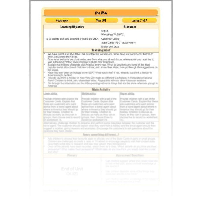
Now that your class have learnt so much about the USA, they can consolidate their knowledge by thinking about what a holiday in America might be like. The slides will show them some of the USA’s top tourist hot-spots which they can then use to help some travel agent customers decide where they should go on holiday, based on given criteria. They can also prepare a TV or radio advert to encourage tourists to visit a particular state. They can then show off all their American knowledge with an end of unit quiz!
What's included:
- Lesson plan
- Slides
- Activity ideas
- Differentiated worksheets
- Customer cards
- State cards
- End of Unit Quiz
Free Overview (Medium-Term Plan)
Download a free overview to support your teaching of this scheme of work.
Free Assessment Grid
Download a free, editable assessment grid to support your teaching of this scheme of work.
Curriculum Objectives covered
- KS2 - locate the world’s countries, using maps to focus on Europe (including the location of Russia) and North and South America, concentrating on their environmental regions, key physical and human characteristics, countries, and major cities
- KS2 - understand geographical similarities and differences through the study of human and physical geography of a region of the United Kingdom, a region in a European country, and a region within North or South America
- KS2 - describe and understand key aspects of physical geography, including: climate zones, biomes and vegetation belts, rivers, mountains, volcanoes and earthquakes, and the water cycle
- KS2 - describe and understand key aspects of human geography, including: types of settlement and land use, economic activity including trade links, and the distribution of natural resources including energy, food, minerals and water
- KS2 - use maps, atlases, globes and digital/computer mapping to locate countries and describe features studied
- KS2 - use the eight points of a compass, four and six-figure grid references, symbols and key (including the use of Ordnance Survey maps) to build their knowledge of the United Kingdom and the wider world
